Old Cumbria Gazetteer
 |
 |
|
||
| Hether Burn | ||||
| runs into:- |  Lyne, River Lyne, River |
|||
|
|
||||
| civil parish:- | Irthington (formerly Cumberland) | |||
| civil parish:- | Hethersgill (formerly Cumberland) | |||
| civil parish:- | Kirklinton Middle (formerly Cumberland) | |||
| civil parish:- | Walton (formerly Cumberland) | |||
| county:- | Cumbria | |||
| locality type:- | river | |||
| locality type:- | boundary | |||
| locality type:- | parish boundary | |||
| 1Km square:- | NY4967 (etc) | |||
| 1Km square:- | NY4366 (etc) | |||
| 10Km square:- | NY46 | |||
|
|
||||
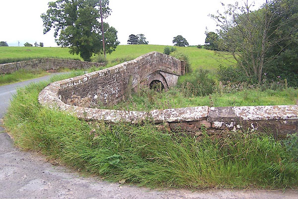
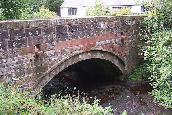
 BOB37.jpg At Burnside Bridge. (taken 31.8.2007) 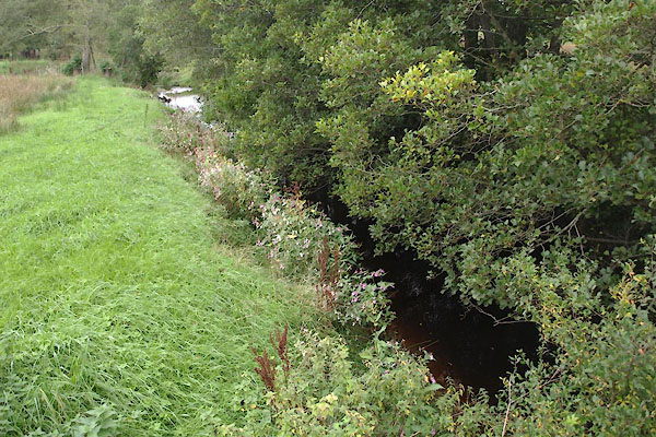 BZJ50.jpg At the bridge, Hetherside, (taken 27.9.2013) |
||||
|
|
||||
| evidence:- | old map:- OS County Series (Cmd 10 12) placename:- Hether Burn |
|||
| source data:- | Maps, County Series maps of Great Britain, scales 6 and 25
inches to 1 mile, published by the Ordnance Survey, Southampton,
Hampshire, from about 1863 to 1948. OS County Series (Cmd 11 7) OS County Series (Cmd 11 10) OS County Series (Cmd 11 11) |
|||
|
|
||||
| places:- |
|
|||
|
||||
|
||||
|
||||
|
||||
Lakes Guides menu.