 Old Cumbria Gazetteer
 |
 |
|
|
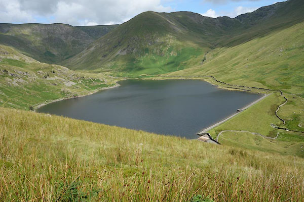
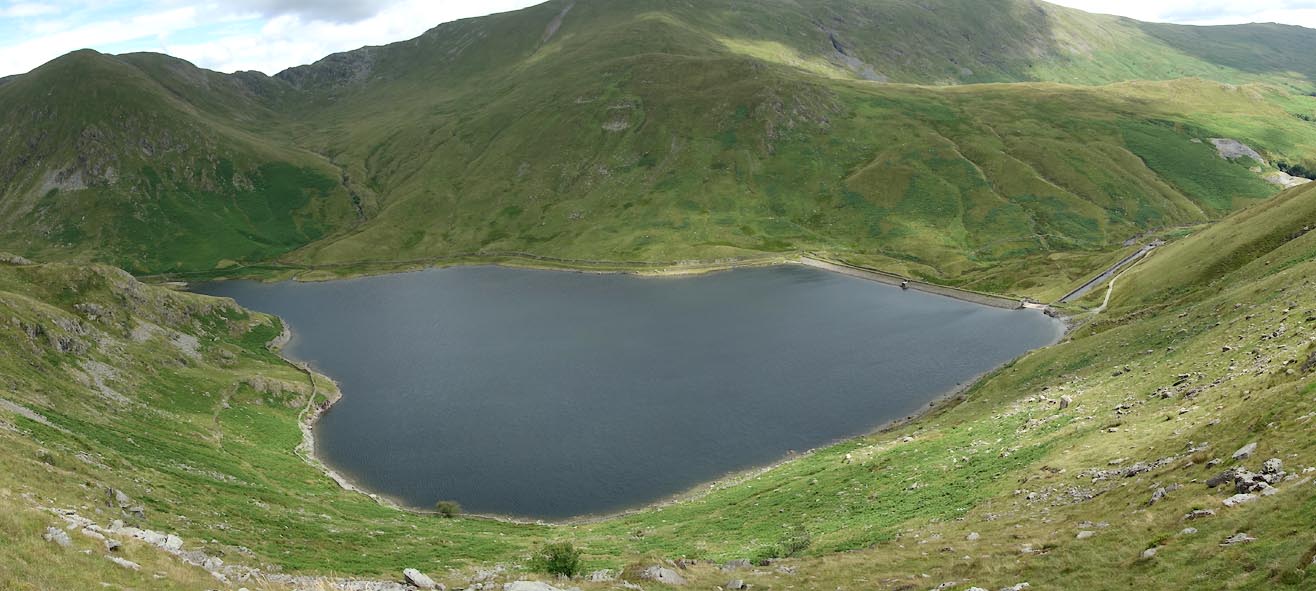
| Kentmere Reservoir, Kentmere | |||
| Kentmere Reservoir | |||
| site name:- | Kent, River | ||
| civil parish:- | Kentmere (formerly Westmorland) | ||
| county:- | Cumbria | ||
| locality type:- | reservoir | ||
| locality type:- | tarn | ||
| coordinates:- | NY444080 | ||
| 1Km square:- | NY4408 | ||
| 10Km square:- | NY40 | ||
|
|
|||
 CBD82.jpg (taken 15.7.2014) 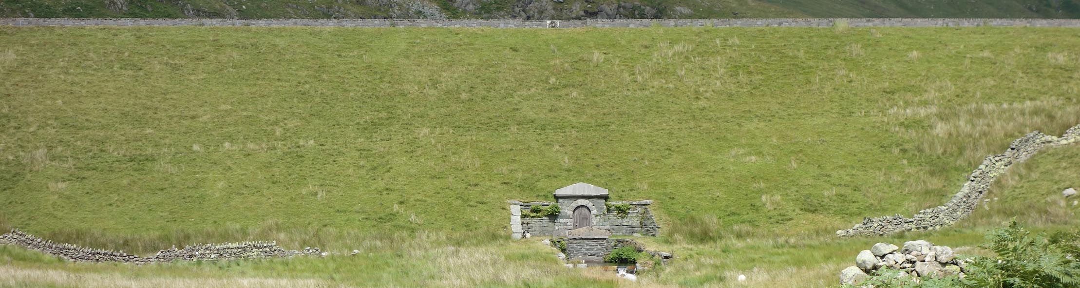 Click to enlarge CBD80.jpg (taken 15.7.2014) |
|||
|
|
|||
| evidence:- | old text:- Martineau 1855 |
||
| source data:- | Guide book, A Complete Guide to the English Lakes, by Harriet
Martineau, published by John Garnett, Windermere, Westmorland,
and by Whittaker and Co, London, 1855; published 1855-76. goto source goto sourcePage 175:- "... While this [Kentmere] tarn existed, the mills at Kendal were very irregularly supplied with water. Now, when the streams are collected in a reservoir, which the traveller sees in coming down" goto sourcePage 176:- "from the pass of Nanbield, and the intercepting tarn is done away with, the flow of water no longer fails." |
||
|
|
|||
 Click to enlarge CBE10.jpg (taken 15.7.2014) 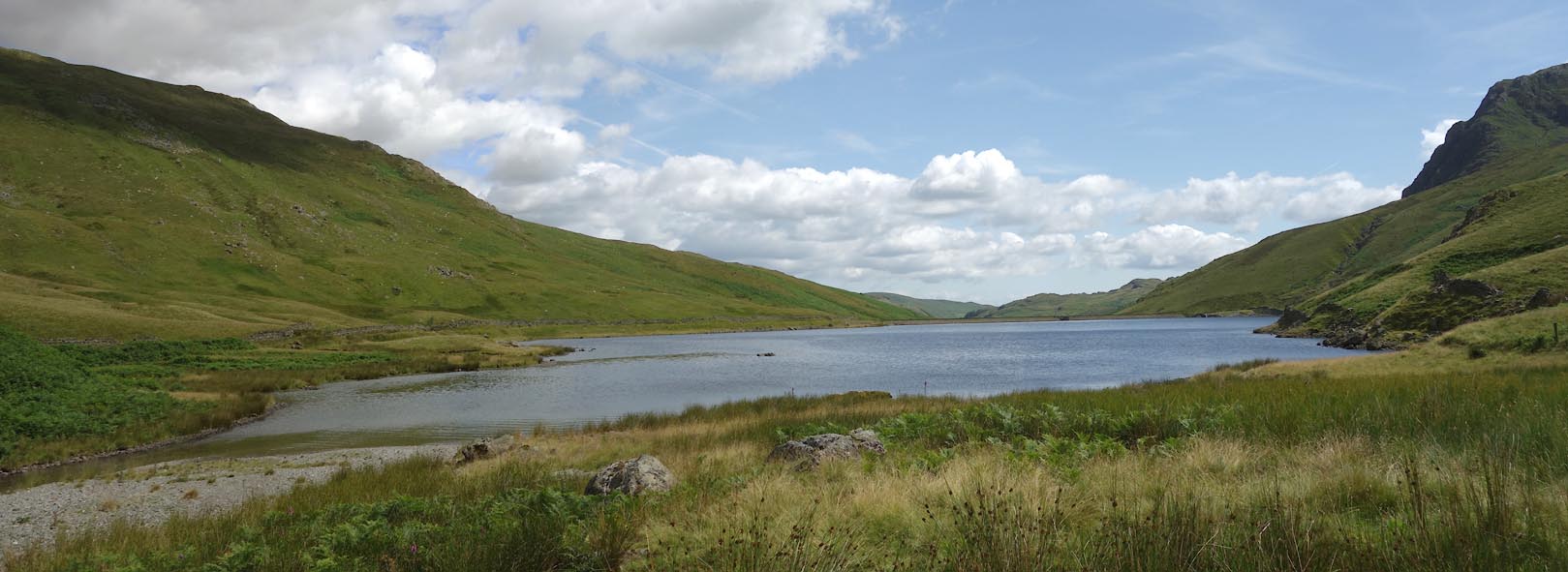 Click to enlarge CBE11.jpg (taken 15.7.2014) 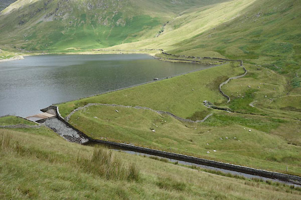 CBD81.jpg (taken 15.7.2014) 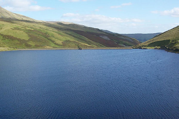 BRK38.jpg (taken 9.9.2009) 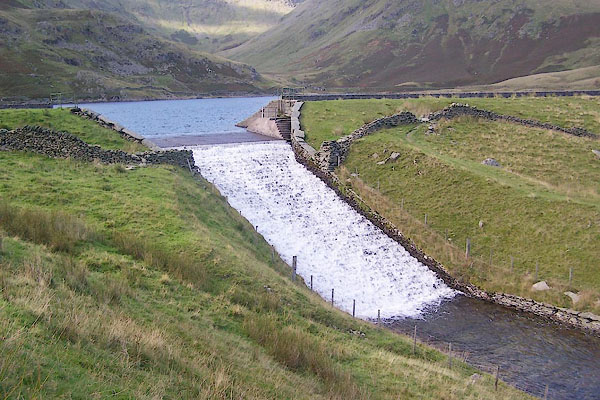 BRK39.jpg Spillway (taken 9.9.2009) 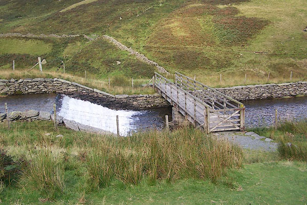 BRK40.jpg Spillway, footbridge, ... (taken 9.9.2009) 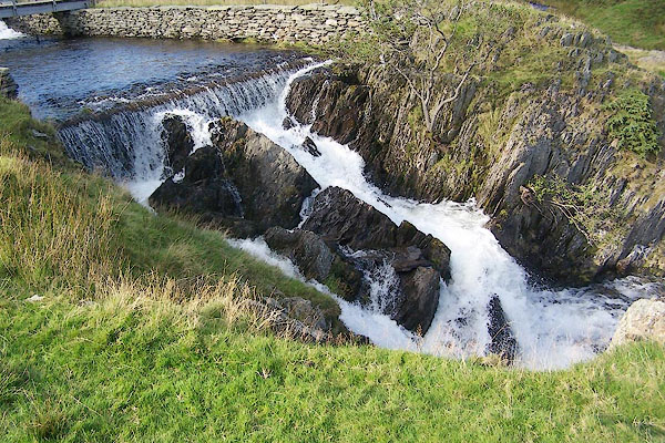 BRK41.jpg (taken 9.9.2009) 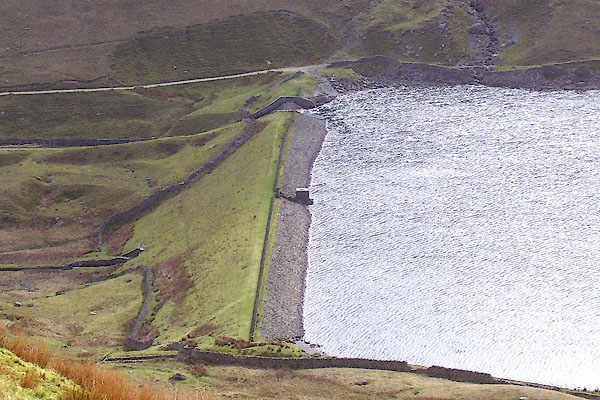 BNO98.jpg (taken 18.4.2007) 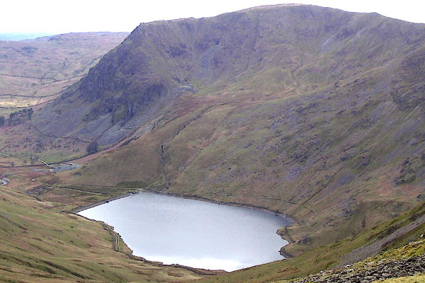 BNO96.jpg (taken 18.4.2007) |
|||
|
|
|||
| notes:- |
Built 1845-46 to regulate the water for mills lower down. |
||
|
|
|||
| mapping:- | |||
|
|
|||
Lakes Guides menu.