 Old Cumbria Gazetteer
 |
 |
|
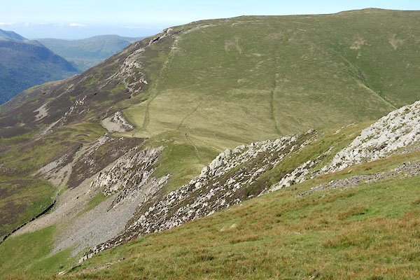
| Littledale Edge, Buttermere | ||
| Littledale Edge | ||
| locality:- | Little Dale | |
| civil parish:- | Buttermere (formerly Cumberland) | |
| civil parish:- | Above Derwent (formerly Cumberland) | |
| county:- | Cumbria | |
| locality type:- | hill | |
| coordinates:- | NY210161 (etc) | |
| 1Km square:- | NY2116 | |
| 10Km square:- | NY21 | |
|
|
||
 BZG50.jpg (taken 6.9.2013) |
||
|
|
||
| evidence:- | old map:- OS County Series (Cmd 69 8) placename:- Littledale Edge |
|
| source data:- | Maps, County Series maps of Great Britain, scales 6 and 25
inches to 1 mile, published by the Ordnance Survey, Southampton,
Hampshire, from about 1863 to 1948. |
|
|
|
||
 Lakes Guides menu.