 Old Cumbria Gazetteer
 |
 |
|
| Maryport Station, Maryport | ||
| Maryport Station | ||
| site name:- | Maryport and Carlisle Railway | |
| locality:- | Maryport | |
| civil parish:- | Maryport (formerly Cumberland) | |
| county:- | Cumbria | |
| locality type:- | railway station | |
| coordinates:- | NY03793614 | |
| 1Km square:- | NY0336 | |
| 10Km square:- | NY03 | |
| SummaryText:- | 2nd station, opened 1860. | |
|
|
||
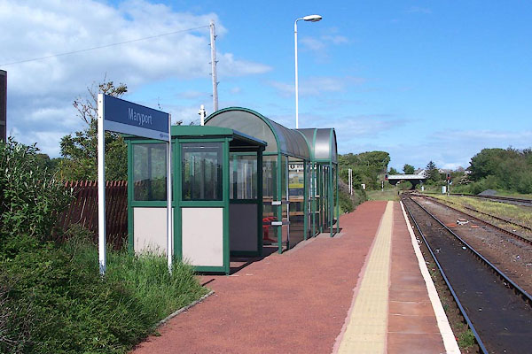 BNS51.jpg (taken 25.5.2007) 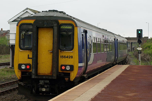 BST39.jpg Train to Whitehaven. (taken 14.5.2010) |
||
|
|
||
| evidence:- | old map:- OS County Series (Cmd 44 8) placename:- Maryport Station item:- turntable; railway bridge |
|
| source data:- | Maps, County Series maps of Great Britain, scales 6 and 25
inches to 1 mile, published by the Ordnance Survey, Southampton,
Hampshire, from about 1863 to 1948. OS County Series (Cmd 45 5) 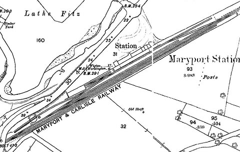 click to enlarge click to enlargeCSRY0057.jpg "Maryport Station / Station / MARYPORT &CARLISLE RAILWAY / ..." |
|
|
|
||
| evidence:- | old map:- Postlethwaite 1877 (3rd edn 1913) |
|
| source data:- | Map, uncoloured engraving, Map of the Lake District Mining Field, Westmorland, Cumberland,
Lancashire, scale about 5 miles to 1 inch, by John Postlethwaite, published by W H
Moss and Sons, 13 Lowther Street, Whitehaven, Cumberland, 1877 edn 1913.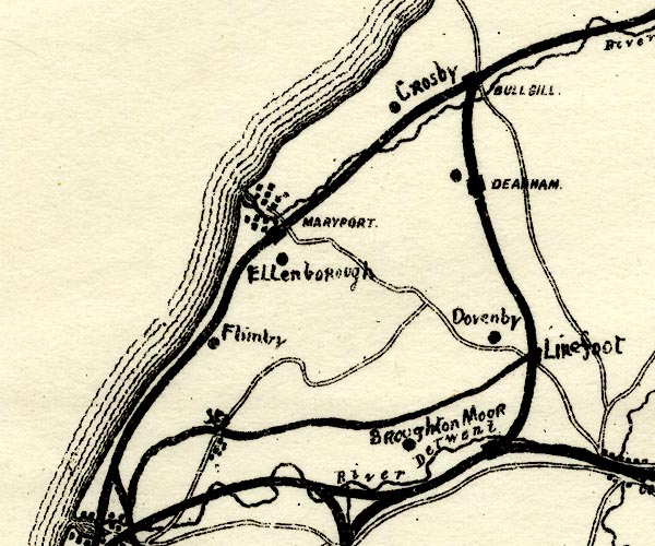 PST2NY03.jpg "MARYPORT" dots, road, railway and station item:- JandMN : 162.2 Image © see bottom of page |
|
|
|
||
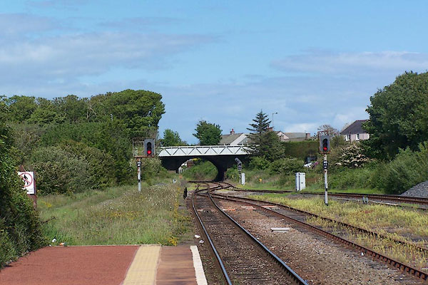 BNS53.jpg View N. (taken 25.5.2007) 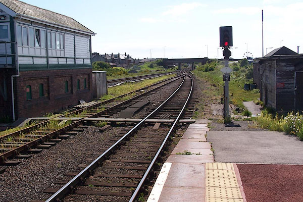 BNS52.jpg View S. (taken 25.5.2007) 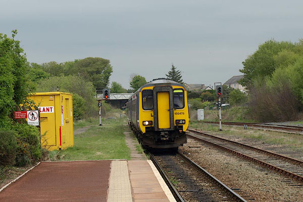 BST49.jpg Train from Carlisle. (taken 14.5.2010) 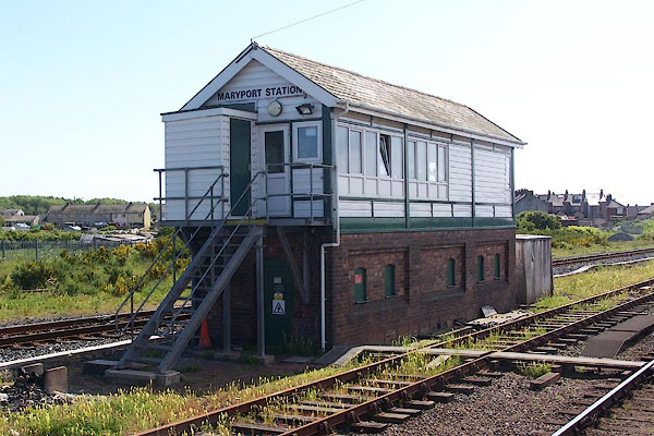 BNS54.jpg Signal box. (taken 25.5.2007) |
||
|
|
||
| hearsay:- |
Branch lines served Senhouse Dock etc, Phoenix Foundry, ... |
|
|
|
||
 Lakes Guides menu.