 Old Cumbria Gazetteer
 |
 |
|
||
| Park Beck | ||||
| runs into:- |  Kent, River Kent, River |
|||
|
|
||||
| civil parish:- | Hugill (formerly Westmorland) | |||
| civil parish:- | Kentmere (formerly Westmorland) | |||
| county:- | Cumbria | |||
| locality type:- | river | |||
| locality type:- | boundary | |||
| locality type:- | parish boundary | |||
| 1Km square:- | NY4402 (etc) | |||
| 10Km square:- | NY40 | |||
| SummaryText:- | entirely in Kentmere? | |||
|
|
||||
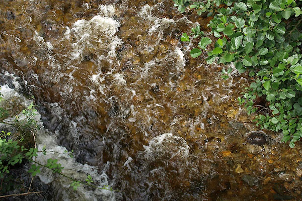 BVF13.jpg At Church Bridge, (taken 17.8.2011) 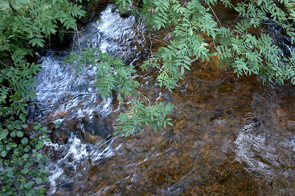 BVE96.jpg At Park Bridge, (taken 17.8.2011) |
||||
|
|
||||
| evidence:- | old map:- OS County Series (Wmd 27 13) placename:- Park Beck |
|||
| source data:- | Maps, County Series maps of Great Britain, scales 6 and 25
inches to 1 mile, published by the Ordnance Survey, Southampton,
Hampshire, from about 1863 to 1948. |
|||
|
|
||||
| places:- |
|
|||
Lakes Guides menu.