Old Cumbria Gazetteer
 |
 |
|
||
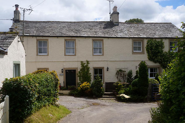
| Stanger, Embleton | ||||
| Stanger | ||||
| civil parish:- | Embleton (formerly Cumberland) | |||
| county:- | Cumbria | |||
| locality type:- | locality | |||
| locality type:- | buildings | |||
| coordinates:- | NY13662779 (etc) | |||
| 1Km square:- | NY1327 | |||
| 10Km square:- | NY12 | |||
|
|
||||
| evidence:- | old map:- OS County Series (Cmd 55 9) placename:- Stanger |
|||
| source data:- | Maps, County Series maps of Great Britain, scales 6 and 25
inches to 1 mile, published by the Ordnance Survey, Southampton,
Hampshire, from about 1863 to 1948. |
|||
|
|
||||
| evidence:- | old map:- Gents Mag 1751 placename:- Stanger |
|||
| source data:- | Map, uncoloured engraving, Map of the Black Lead Mines in
Cumberland, and area, scale about 2 miles to 1 inch, by George
Smith, published in the Gentleman's Magazine, 1751.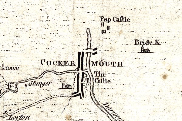 GM1304.jpg "Stanger" circle; village item:- JandMN : 114 Image © see bottom of page |
|||
|
|
||||
| evidence:- | old map:- Donald 1774 (Cmd) placename:- Stanger |
|||
| source data:- | Map, hand coloured engraving, 3x2 sheets, The County of Cumberland, scale about 1
inch to 1 mile, by Thomas Donald, engraved and published by Joseph Hodskinson, 29
Arundel Street, Strand, London, 1774.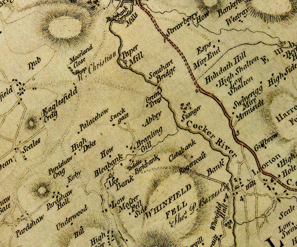 D4NY12NW.jpg "Stanger" area of trees item:- Carlisle Library : Map 2 Image © Carlisle Library |
|||
|
|
||||
| places:- |
|
|||
|
||||
|
||||
 Lakes Guides menu.