 Old Cumbria Gazetteer
 |
 |
|
| Sun Inn, Crook | ||
| Sun Inn | ||
| locality:- | Crook | |
| civil parish:- | Crook (formerly Westmorland) | |
| county:- | Cumbria | |
| locality type:- | inn | |
| coordinates:- | SD46449512 | |
| 1Km square:- | SD4695 | |
| 10Km square:- | SD49 | |
|
|
||
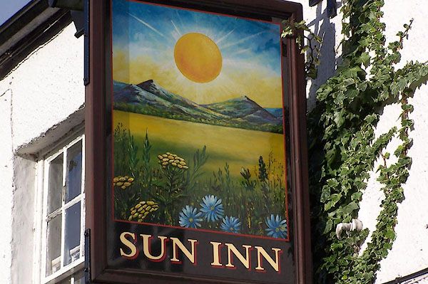 BJZ44.jpg (taken 9.11.2005) 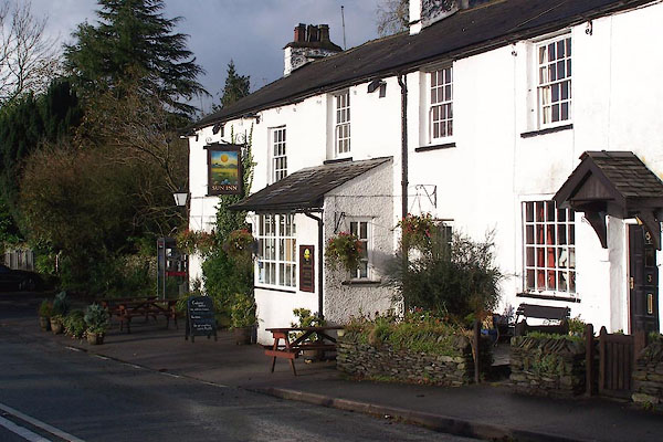 BJZ43.jpg (taken 9.11.2005) |
||
|
|
||
| evidence:- | old map:- OS County Series (Wmd 33 14) placename:- Sun Inn |
|
| source data:- | Maps, County Series maps of Great Britain, scales 6 and 25
inches to 1 mile, published by the Ordnance Survey, Southampton,
Hampshire, from about 1863 to 1948. |
|
|
|
||
| evidence:- | database:- Listed Buildings 2010 placename:- Sun Inn |
|
| source data:- | courtesy of English Heritage "SUN INN / / CROOK ROAD / CROOK / SOUTH LAKELAND / CUMBRIA / II / 76396 / SD4645295123" |
|
| source data:- | courtesy of English Heritage "Inn, originally Inn and cottages. Probably late C18. Roughcast rendered walls, slate roof, 5 limewashed rubble chimneys. 2 storeys. Flat-roofed single-storey C20 porch extension to main entrance, 3 other doors various; garage doors to right; 4 sash windows, 1 20-paned window with fixed glazing; 7 sash windows above, all with glazing bars." |
|
|
|
||
 Lakes Guides menu.