 Old Cumbria Gazetteer
 |
 |
|
| tarn, Tenter Howe | ||
| Tenter Howe Tarn | ||
| civil parish:- | Longsleddale (formerly Westmorland) | |
| county:- | Cumbria | |
| locality type:- | tarn | |
| locality type:- | reservoir (planned) ?? | |
| coordinates:- | NY50700074 | |
| 1Km square:- | NY5000 | |
| 10Km square:- | NY50 | |
| altitude:- | 829 feet | |
| altitude:- | 252m | |
|
|
||
| evidence:- | old map:- OS County Series (Wmd 33 4) |
|
| source data:- | Maps, County Series maps of Great Britain, scales 6 and 25
inches to 1 mile, published by the Ordnance Survey, Southampton,
Hampshire, from about 1863 to 1948. |
|
|
|
||
| evidence:- | map:- OS Six Inch (1956) |
|
| source data:- | Map series, various editions with the national grid, scale about
6 inches to 1 mile, published by the Ordnance Survey,
Southampton, Hampshire, scale 1 to 10560 from 1950s to 1960s,
then 1 to 10000 from 1960s to 2000s, superseded by print on
demand from digital data.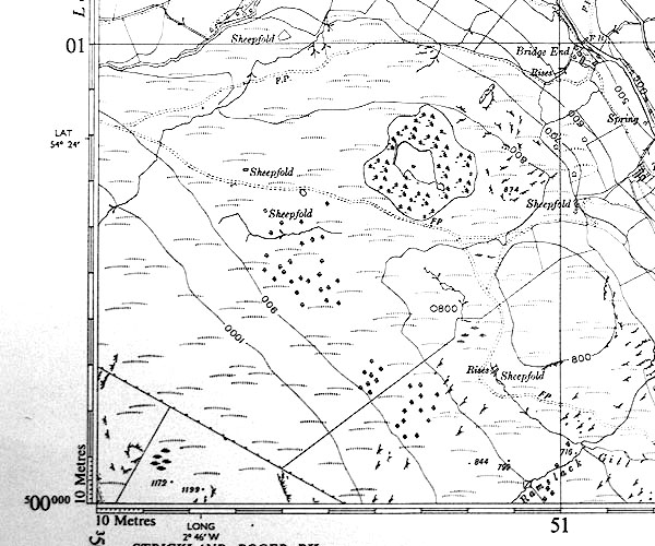 SINY5000.jpg |
|
|
|
||
| notes:- |
The Kendal Reservoir Commissioners suggested a reservoir on Potter Fell, half a mile
west of Tenter How, about 30 acres. |
|
| Somervell, John: 1930: Water Power Mills of South Westmorland |
||
| (This would probably be in the area to the west of the tarn.) |
||
|
|
||
 Lakes Guides menu.