 Old Cumbria Gazetteer
 |
 |
|
| Ull Stone, Kentmere | ||
| Ull Stone | ||
| civil parish:- | Kentmere (formerly Westmorland) | |
| county:- | Cumbria | |
| locality type:- | stone | |
| coordinates:- | NY45450811 | |
| 1Km square:- | NY4508 | |
| 10Km square:- | NY40 | |
|
|
||
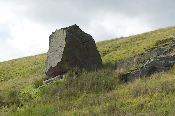 CBE17.jpg (taken 15.7.2014) 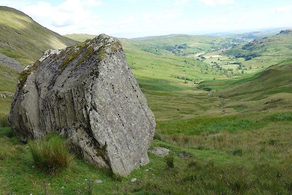 CBE20.jpg (taken 15.7.2014) |
||
|
|
||
| evidence:- | old map:- OS County Series (Wmd 20) placename:- Ull Stone |
|
| source data:- | Maps, County Series maps of Great Britain, scales 6 and 25
inches to 1 mile, published by the Ordnance Survey, Southampton,
Hampshire, from about 1863 to 1948. "Ull Stone" |
|
|
|
||
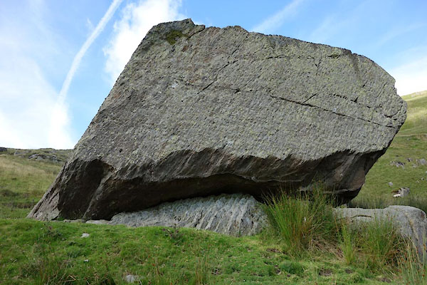 CBE18.jpg (taken 15.7.2014) 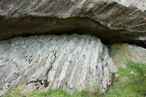 CBE19.jpg (taken 15.7.2014) |
||
|
|
||
 Lakes Guides menu.