 Old Cumbria Gazetteer
 |
 |
|
| included in:- |
 track, Sadgill to Gatescarth track, Sadgill to Gatescarth |
|
| track, Kentmere parish boundary to Sadgill: walk 2, 12.9.2006 | ||
| Kentmere parish boundary to Sadgill | ||
| civil parish:- | Longsleddale (formerly Westmorland) | |
| county:- | Westmorland | |
| locality type:- | track route | |
| coordinates:- | NY48180509 (etc) | |
| 1Km square:- | NY4805 | |
| 10Km square:- | NY40 | |
|
|
||
| MN photo:- |
Walk on the Stile End path, from the Longsleddale / Kentmere parish boundary to Sadgill,
12 September 2006. |
|
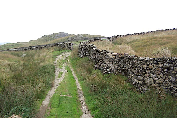 BMP54.jpg (taken 12.9.2006) 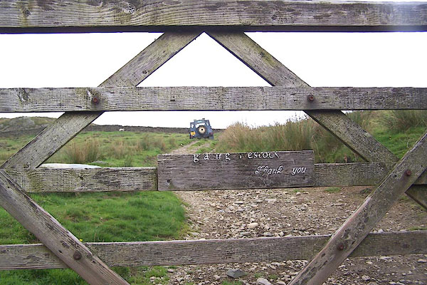 BMP55.jpg Gate on parish boundary (taken 12.9.2006) 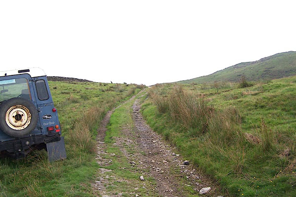 BMP56.jpg The Landrover belongs to a waller working higher up on the fell. (taken 12.9.2006) 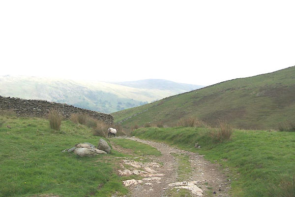 BMP57.jpg (taken 12.9.2006) 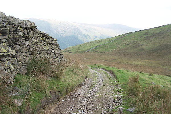 BMP58.jpg (taken 12.9.2006) 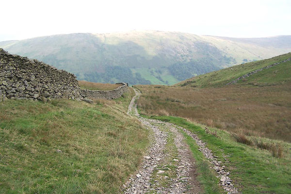 BMP59.jpg (taken 12.9.2006) 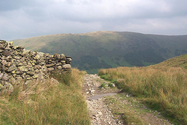 BMP60.jpg (taken 12.9.2006) 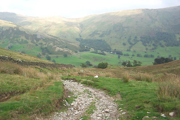 BMP61.jpg (taken 12.9.2006) 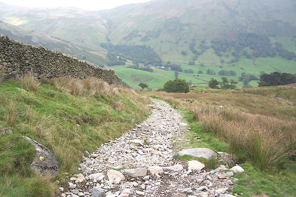 BMP62.jpg (taken 12.9.2006) 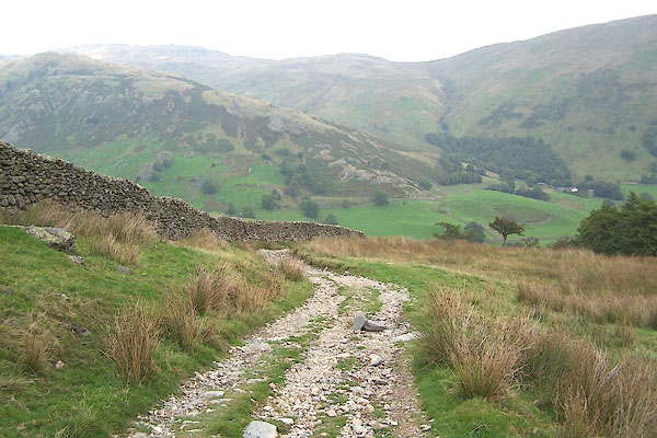 BMP63.jpg (taken 12.9.2006) 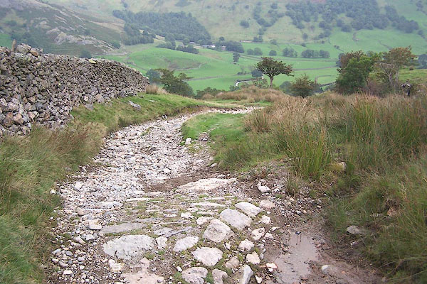 BMP64.jpg (taken 12.9.2006) 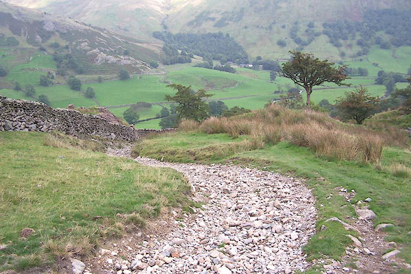 BMP65.jpg (taken 12.9.2006) 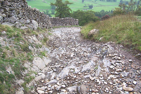 BMP66.jpg (taken 12.9.2006) 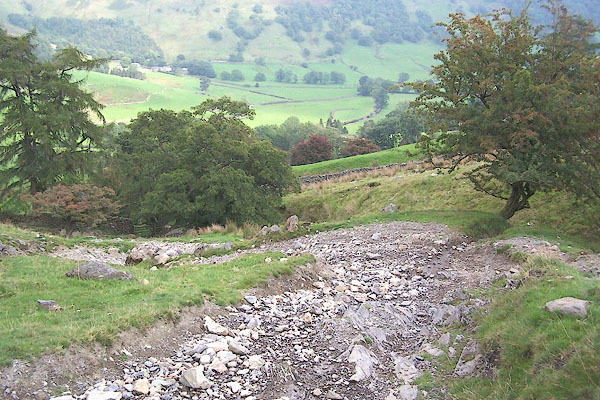 BMP67.jpg (taken 12.9.2006) 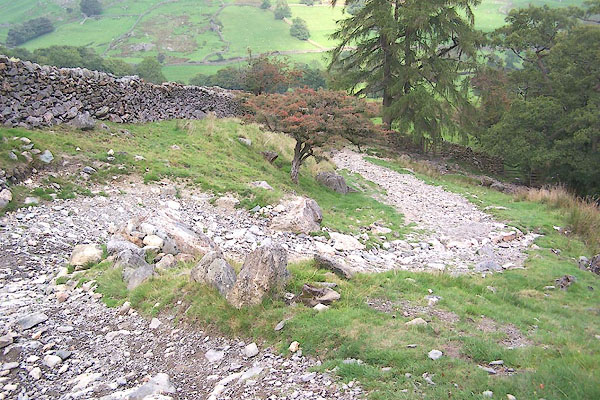 BMP68.jpg (taken 12.9.2006) 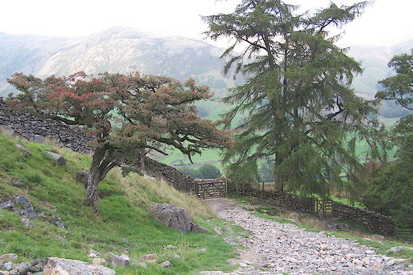 BMP69.jpg (taken 12.9.2006) 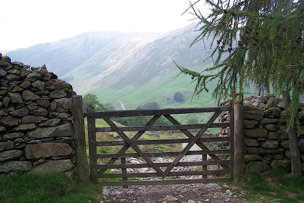 BMP70.jpg Grassing Gate. (taken 12.9.2006) 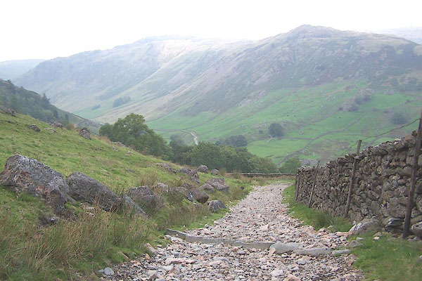 BMP71.jpg (taken 12.9.2006) 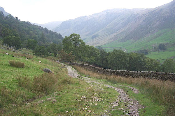 BMP72.jpg (taken 12.9.2006) 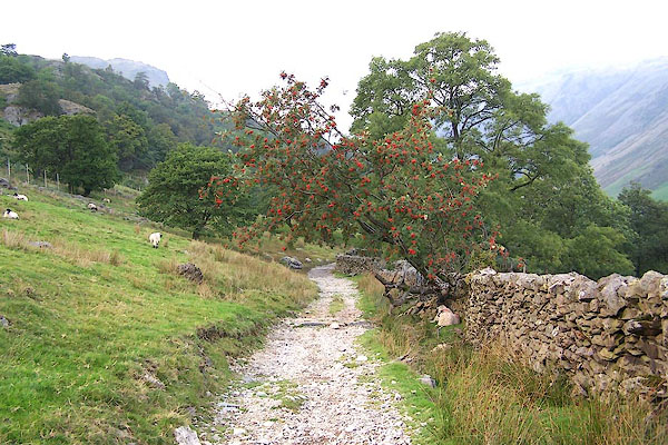 BMP73.jpg (taken 12.9.2006) 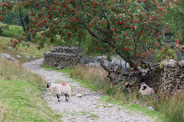 BMP74.jpg (taken 12.9.2006) 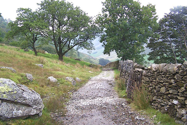 BMP75.jpg (taken 12.9.2006) 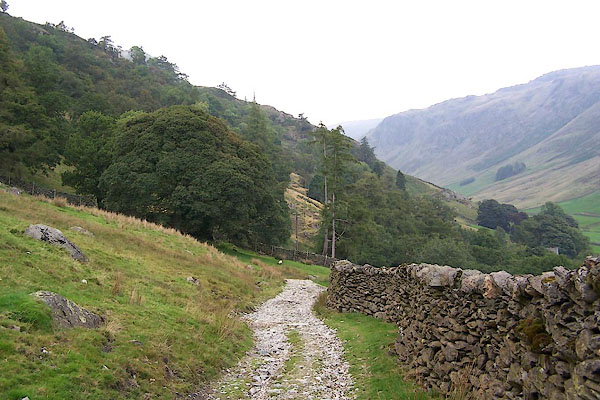 BMP76.jpg (taken 12.9.2006) 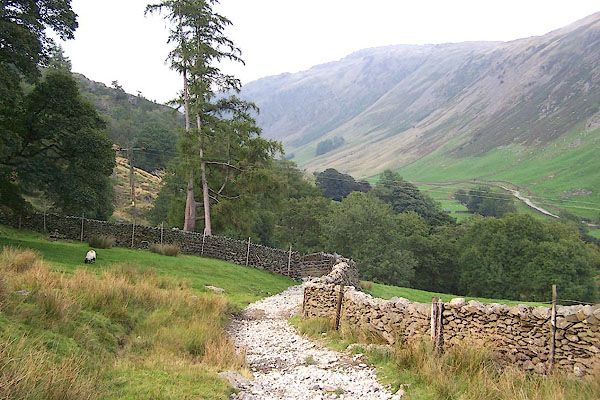 BMP77.jpg (taken 12.9.2006) 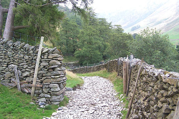 BMP78.jpg Bank or Hoghouse Gate. (taken 12.9.2006) 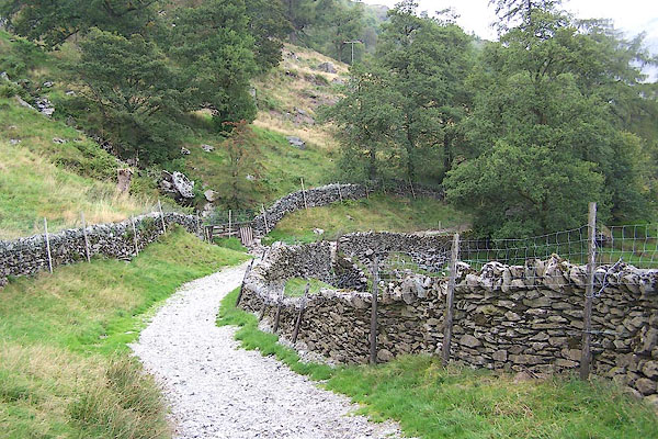 BMP79.jpg (taken 12.9.2006) 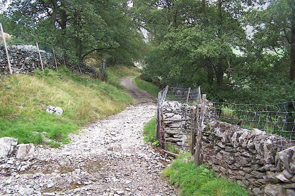 BMP80.jpg (taken 12.9.2006) 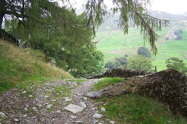 BMP81.jpg (taken 12.9.2006) 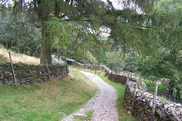 BMP82.jpg (taken 12.9.2006) 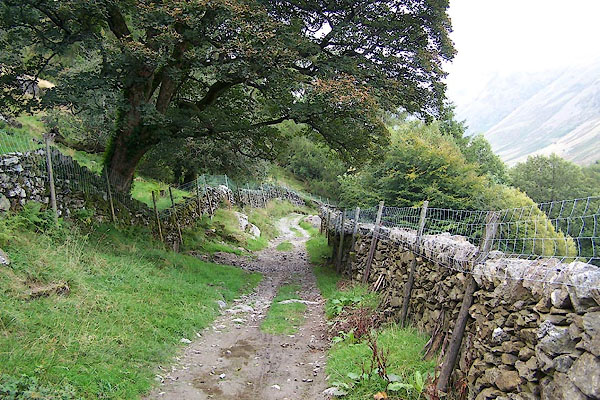 BMP83.jpg (taken 12.9.2006) 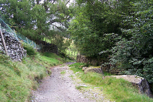 BMP84.jpg (taken 12.9.2006) 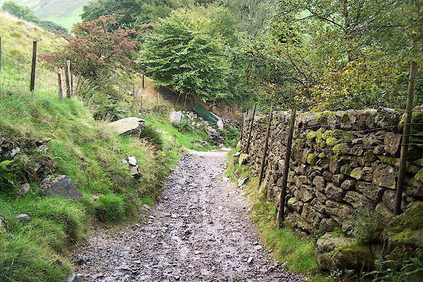 BMP85.jpg (taken 12.9.2006) 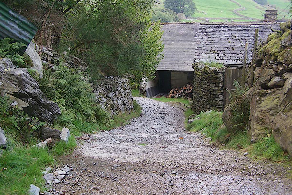 BMP86.jpg (taken 12.9.2006) 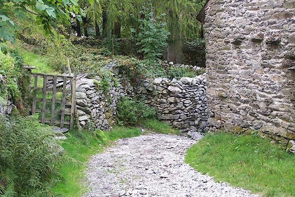 BMP87.jpg (taken 12.9.2006) 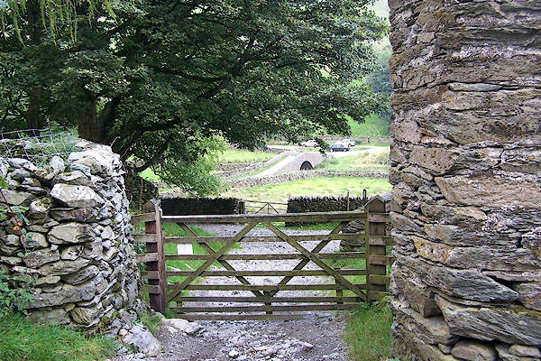 BMP88.jpg (taken 12.9.2006) 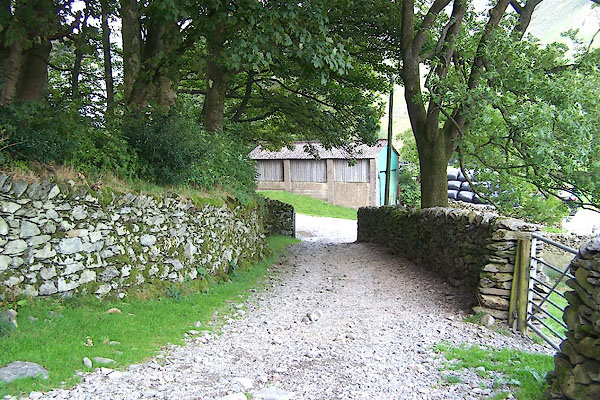 BMP89.jpg (taken 12.9.2006) 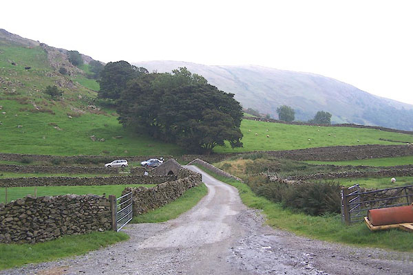 BMP90.jpg (taken 12.9.2006) |
||
|
|
||
Lakes Guides menu.