 Old Cumbria Gazetteer
 |
 |
|
| Liquorice Sike | ||
| runs into:- |  Eden, River Eden, River |
|
|
|
||
| civil parish:- | Great Salkeld (formerly Cumberland) | |
| civil parish:- | Langwathby (formerly Cumberland) | |
| county:- | Cumbria | |
| locality type:- | river | |
| locality type:- | boundary | |
| locality type:- | parish boundary | |
| 1Km square:- | NY5534 (etc) | |
| 10Km square:- | NY53 | |
|
|
||
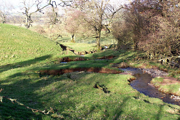 BNI83.jpg Just below the road. The corresponding boundary stone on the road has gone, and was not found on the old road alignment. (taken 9.3.2007) |
||
|
|
||
| evidence:- | old map:- OS County Series (Cmd 50 10) placename:- Liquorice Sike |
|
| source data:- | Maps, County Series maps of Great Britain, scales 6 and 25
inches to 1 mile, published by the Ordnance Survey, Southampton,
Hampshire, from about 1863 to 1948. |
|
|
|
||
Lakes Guides menu.