Old Cumbria Gazetteer
 |
 |
|
||
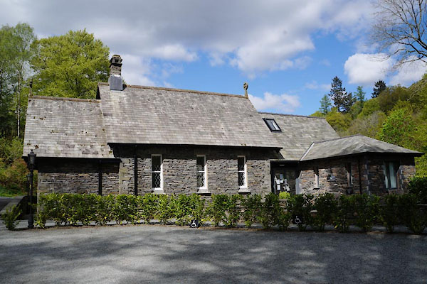
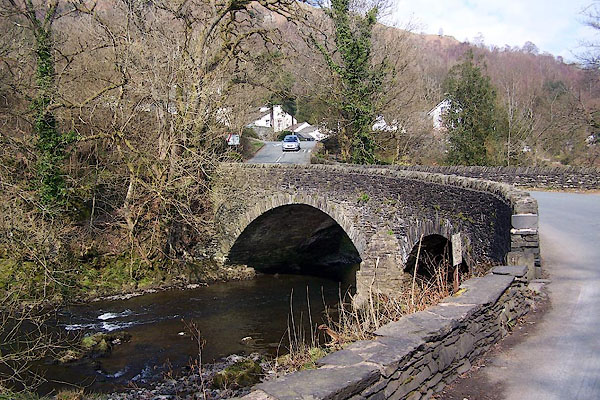
| Brathay, Skelwith | ||||
| Brathay | ||||
| locality:- | Clappersgate | |||
| civil parish:- | Skelwith (formerly Lancashire) | |||
| county:- | Cumbria | |||
| locality type:- | locality | |||
| locality type:- | buildings | |||
| coordinates:- | NY36630335 (etc) | |||
| 1Km square:- | NY3603 | |||
| 10Km square:- | NY30 | |||
|
|
||||
| evidence:- | old map:- Keer 1605 placename:- Brathey |
|||
| source data:- | Map, hand coloured engraving, Westmorland and Cumberland, scale
about 16 miles to 1 inch, probably by Pieter van den Keere, or
Peter Keer, about 1605 edition perhaps 1676. click to enlarge click to enlargeKER8.jpg "Brathey" dot, circle and tower; village item:- Dove Cottage : 2007.38.110 Image © see bottom of page |
|||
|
|
||||
| evidence:- | old drawing:- Aspland 1840s-60s placename:- Brathay |
|||
| source data:- | Drawing, pencil, Brathay, Lancashire, by Theophilus Lindsey Aspland, 30 August 1845.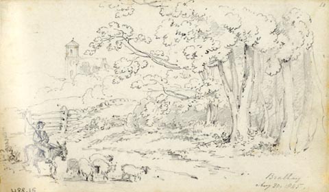 click to enlarge click to enlargeAS0215.jpg "Brathay / Aug 30. 1845." page number "11" item:- Armitt Library : 1958.488.15 Image © see bottom of page |
|||
|
|
||||
| places:- |
|
|||
|
||||
|
||||
|
||||
|
||||
|
||||
|
||||
|
||||
|
||||
|
||||
 Lakes Guides menu.