 Old Cumbria Gazetteer
 |
 |
|
| Leighton Beck Bridge, Beetham | ||
| Leighton Beck Bridge | ||
| site name:- | Leighton Beck | |
| civil parish:- | Beetham (formerly Westmorland) | |
| county:- | Cumbria | |
| locality type:- | bridge | |
| coordinates:- | SD48647774 | |
| 1Km square:- | SD4877 | |
| 10Km square:- | SD47 | |
| county:- | Lancashire | |
| current boundary | ||
| locality:- | Cumbria boundary | |
|
|
||
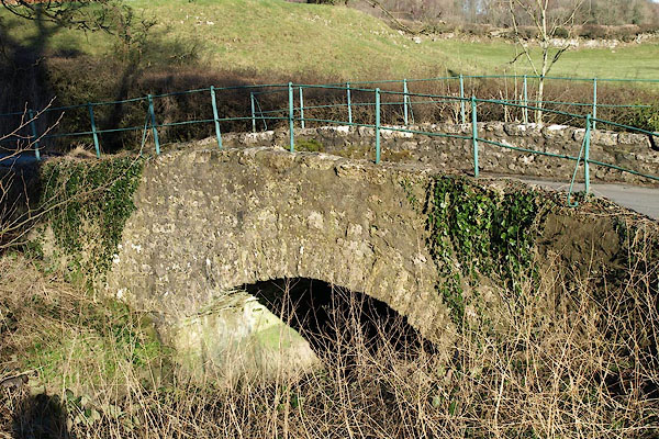 BQB14.jpg (taken 6.2.2009) 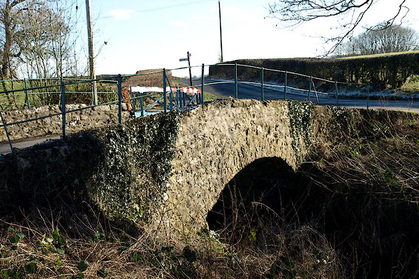 BQB15.jpg (taken 6.2.2009) |
||
|
|
||
| evidence:- | old map:- OS County Series (Wmd 46 11) placename:- Leighton Beck Bridge |
|
| source data:- | Maps, County Series maps of Great Britain, scales 6 and 25
inches to 1 mile, published by the Ordnance Survey, Southampton,
Hampshire, from about 1863 to 1948. |
|
|
|
||
| evidence:- | old map:- Jefferys 1770 (Wmd) |
|
| source data:- | Map, 4 sheets, The County of Westmoreland, scale 1 inch to 1
mile, surveyed 1768, and engraved and published by Thomas
Jefferys, London, 1770.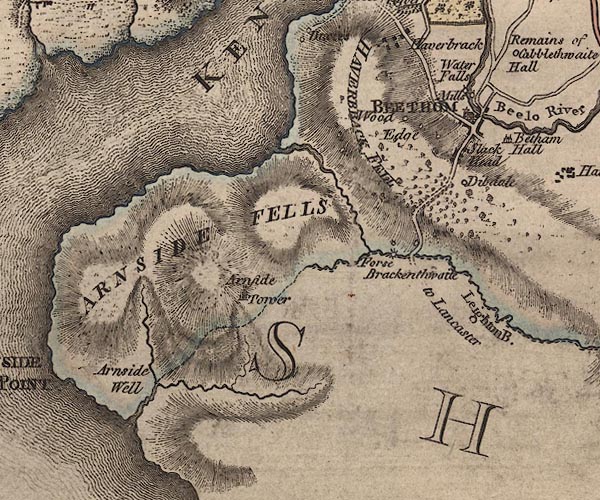 J5SD47NE.jpg double line, road, across a stream; bridge item:- National Library of Scotland : EME.s.47 Image © National Library of Scotland |
|
|
|
||
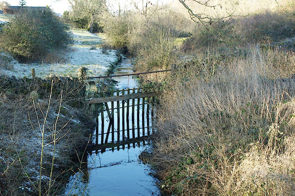 BQB16.jpg View of river. (taken 6.2.2009) |
||
|
|
||
 Lakes Guides menu.