Old Cumbria Gazetteer
 |
 |
|
||
| Woodend Pool | ||||
| runs into:- |  Devoke Water Devoke Water |
|||
|
|
||||
| site name:- | Ulpha Fell | |||
| civil parish:- | Ulpha (formerly Cumberland) | |||
| civil parish:- | Eskdale (formerly Cumberland) | |||
| county:- | Cumbria | |||
| locality type:- | river | |||
| locality type:- | boundary | |||
| locality type:- | parish boundary | |||
| 1Km square:- | SD1796 (etc) | |||
| 10Km square:- | SD19 | |||
|
|
||||
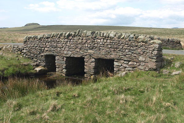
 BPF23.jpg At Woodend Bridge. (taken 20.5.2008) |
||||
|
|
||||
| evidence:- | old map:- OS County Series (Cmd 83 6) placename:- Woodend Pool |
|||
| source data:- | Maps, County Series maps of Great Britain, scales 6 and 25
inches to 1 mile, published by the Ordnance Survey, Southampton,
Hampshire, from about 1863 to 1948. |
|||
|
|
||||
| places:- |
|
|||
Lakes Guides menu.