 Old Cumbria Gazetteer
 |
 |
|
| fulling mill, Kilnstones (2) | ||
| locality:- | Kilnstones | |
| civil parish:- | Longsleddale (formerly Westmorland) | |
| county:- | Cumbria | |
| locality type:- | fulling mill (?) | |
| locality type:- | mill (?) | |
| coordinates:- | NY50040192 | |
| 1Km square:- | NY5001 | |
| 10Km square:- | NY50 | |
|
|
||
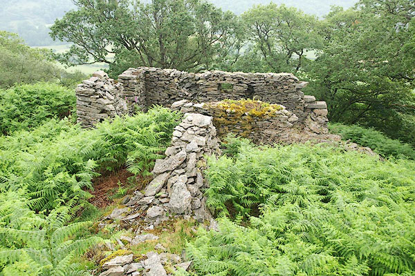 BQX89.jpg (taken 29.6.2009) 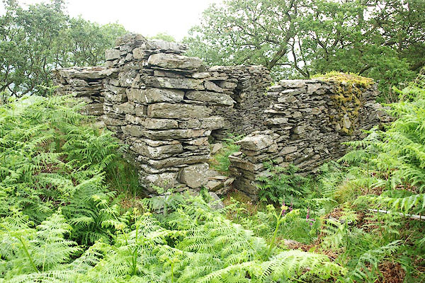 BQX90.jpg (taken 29.6.2009) |
||
|
|
||
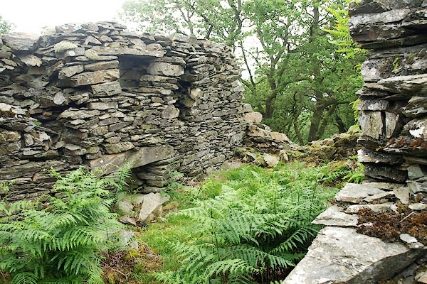 BQX91.jpg (taken 29.6.2009) 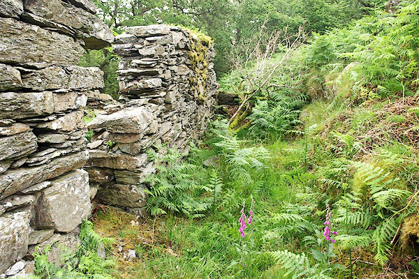 BQX92.jpg Could this be the mill race? (taken 29.6.2009) 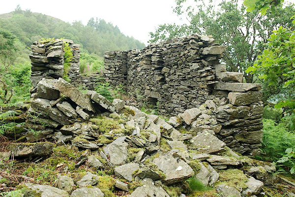 BQX93.jpg (taken 29.6.2009) 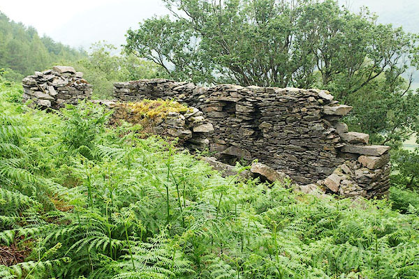 BQX94.jpg (taken 29.6.2009) 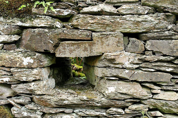 BQX95.jpg Drystone walling. (taken 29.6.2009) |
||
|
|
||
| MN photo:- |
Chris Healey surveyed the site on behalf of the estate, June 2009. |
|
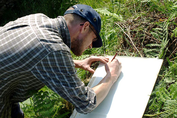 BQY06.jpg (taken 29.6.2009) 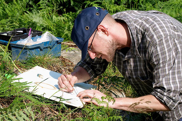 BQY07.jpg (taken 29.6.2009) 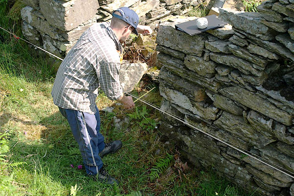 BQY08.jpg Plotting the building outline, measuring from a fixed line at regular intervals. (taken 29.6.2009) 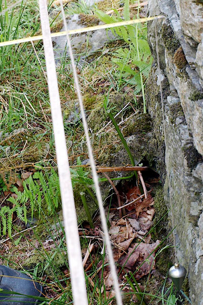 BQY09.jpg Plumb bob, ruler, etc (taken 29.6.2009) 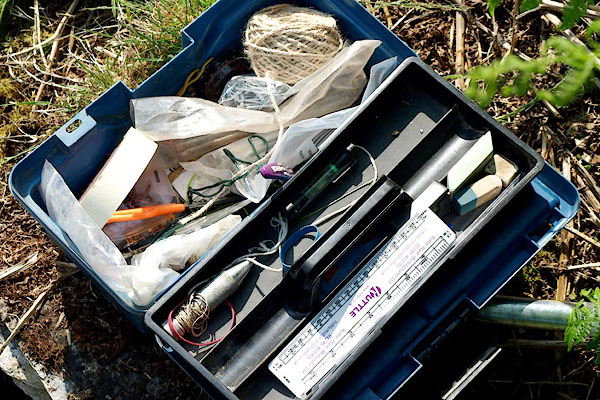 BQY10.jpg Kit. (taken 29.6.2009) 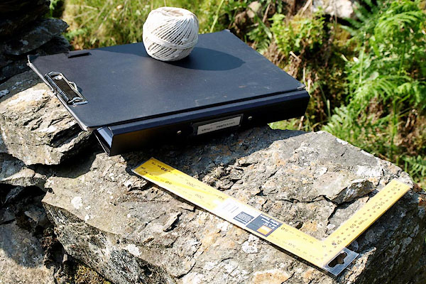 BQY11.jpg Kit. (taken 29.6.2009) 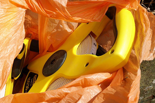 BQY12.jpg Measuring tapes. (taken 29.6.2009) |
||
|
|
||
| notes:- |
There is said to have been a fulling Mill here, perhaps in Kilnstones Wood. Perhaps
on Reeve Gill? |
|
| : 2009: Archaeological Data Service &ADS |
||
| The structure does not instantly look like a fulling mill, or any sort of water mill.
It is situated a long way from the beck, and has no obvious supply of water. A leat
would have been difficult over the hillside. And: why is an industrial building placed
so far from the drove route, 100-150 feet below? I'm not convinced of the identification. |
||
|
|
||
 Lakes Guides menu.