 Old Cumbria Gazetteer
 |
 |
|
| quarry, Kentmere (4) | ||
| locality:- | Rainsborrow Crag | |
| civil parish:- | Kentmere (formerly Westmorland) | |
| county:- | Cumbria | |
| locality type:- | quarry | |
| coordinates:- | NY44250700 | |
| 1Km square:- | NY4407 | |
| 10Km square:- | NY40 | |
|
|
||
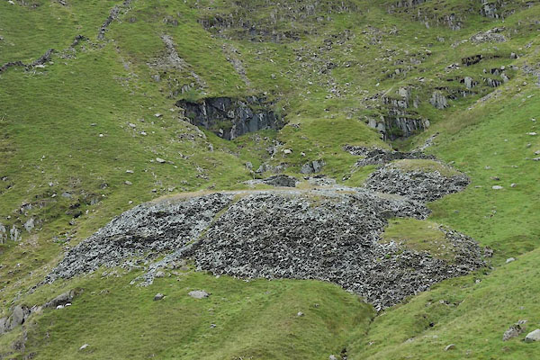 CBD93.jpg (taken 15.7.2014) 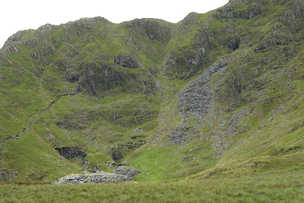 CBD92.jpg (taken 15.7.2014) 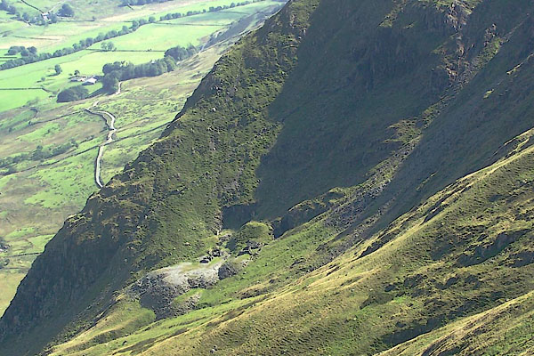 BRK34.jpg (taken 9.9.2009) |
||
|
|
||
| evidence:- | possibly old map:- Postlethwaite 1877 (3rd edn 1913) |
|
| source data:- | Map, uncoloured engraving, Map of the Lake District Mining Field, Westmorland, Cumberland,
Lancashire, scale about 5 miles to 1 inch, by John Postlethwaite, published by W H
Moss and Sons, 13 Lowther Street, Whitehaven, Cumberland, 1877 edn 1913.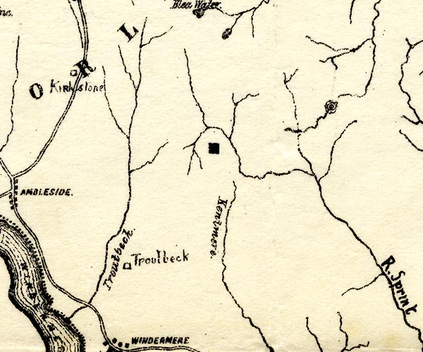 PST2NY40.jpg quarry symbol, head of Kentmere valley item:- JandMN : 162.2 Image © see bottom of page |
|
|
|
||
 Lakes Guides menu.