 Old Cumbria Gazetteer
 |
 |
|
| Dalehead Close, Rydal | ||
| Dalehead Close | ||
| locality:- | Rydal Fell | |
| locality:- | Rydal | |
| civil parish:- | Lakes (formerly Westmorland) | |
| county:- | Cumbria | |
| locality type:- | locality | |
| coordinates:- | NY36200989 (etc) | |
| 1Km square:- | NY3609 | |
| 10Km square:- | NY30 | |
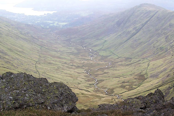
| SummaryText:- | The close is a large area in the upper part of the valley, enclosed by a long stone wall. | |
|
|
||
 BRS45.jpg (taken 7.10.2009) |
||
|
|
||
| evidence:- | old map:- OS County Series (Wmd 19 10) placename:- Dalehead Close |
|
| source data:- | Maps, County Series maps of Great Britain, scales 6 and 25
inches to 1 mile, published by the Ordnance Survey, Southampton,
Hampshire, from about 1863 to 1948. |
|
|
|
||
 Lakes Guides menu.