 Old Cumbria Gazetteer
 |
 |
|
| Jack Croft Pond, Lowther Park | ||
| Jack Croft Pond | ||
| locality:- | Lowther Park | |
| civil parish:- | Lowther (formerly Westmorland) | |
| county:- | Cumbria | |
| locality type:- | pond | |
| coordinates:- | NY52412352 (etc) | |
| 1Km square:- | NY5223 | |
| 10Km square:- | NY52 | |
|
|
||
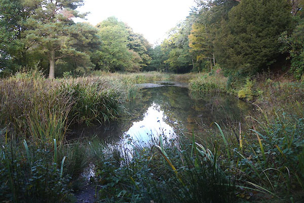 CFP06.jpg (taken 19.10.2016) 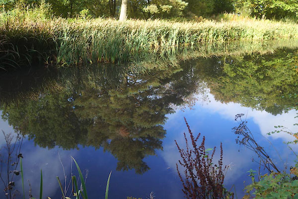 CFP07.jpg (taken 19.10.2016) |
||
|
|
||
| evidence:- | old map:- OS County Series (Wmd 7) placename:- Jack Croft Pond |
|
| source data:- | Maps, County Series maps of Great Britain, scales 6 and 25
inches to 1 mile, published by the Ordnance Survey, Southampton,
Hampshire, from about 1863 to 1948. "Jack Croft Pond" |
|
|
|
||
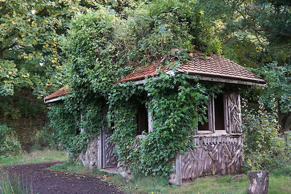 CFP08.jpg Summer house at the S end of the pond, (taken 19.10.2016) 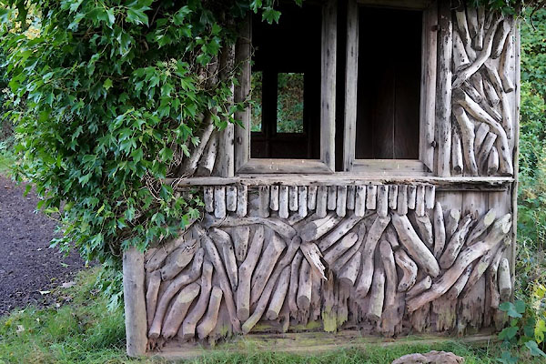 CFP09.jpg Rustic walling. (taken 19.10.2016) |
||
|
|
||
 Lakes Guides menu.