 Old Cumbria Gazetteer
 |
 |
|
| school, Bassenthwaite | ||
| Bassenthwaite School | ||
| locality:- | Chapel | |
| civil parish:- | Bassenthwaite (formerly Cumberland) | |
| county:- | Cumbria | |
| locality type:- | school | |
| coordinates:- | NY22793163 | |
| 1Km square:- | NY2231 | |
| 10Km square:- | NY23 | |
| references:- | OS County Series |
|
|
|
||
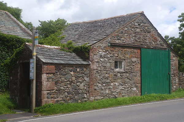 CFF37.jpg this building? much altered, plus bus shelter (taken 8.7.2016) |
||
|
|
||
| evidence:- | old map:- OS County Series (Cmd 55 4) |
|
| source data:- | Maps, County Series maps of Great Britain, scales 6 and 25
inches to 1 mile, published by the Ordnance Survey, Southampton,
Hampshire, from about 1863 to 1948. "School (Parl.)" Parchial school, by the Church |
|
|
|
||
 Lakes Guides menu.