 |
 |
|
|
|
|
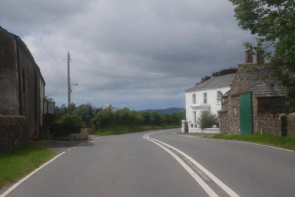
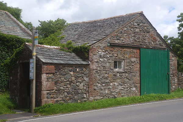
Chapel |
| civil parish:- |
Bassenthwaite (formerly Cumberland) |
| county:- |
Cumbria |
| locality type:- |
locality |
| locality type:- |
buildings |
| coordinates:- |
NY22763163 (etc) |
| 1Km square:- |
NY2231 |
| 10Km square:- |
NY23 |
|
|
|
CFF34.jpg (taken 8.7.2016)
|
|
|
| evidence:- |
old map:- OS County Series (Cmd 55 4)
placename:- Church
|
| source data:- |
Maps, County Series maps of Great Britain, scales 6 and 25
inches to 1 mile, published by the Ordnance Survey, Southampton,
Hampshire, from about 1863 to 1948.
|
|
|
| evidence:- |
old map:- Donald 1774 (Cmd)
|
| source data:- |
Map, hand coloured engraving, 3x2 sheets, The County of Cumberland, scale about 1
inch to 1 mile, by Thomas Donald, engraved and published by Joseph Hodskinson, 29
Arundel Street, Strand, London, 1774.
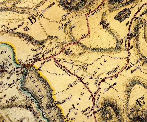
D4NY23SW.jpg
"Chapel"
block or blocks, and a church, labelled in lowercase; a hamlet
item:- Carlisle Library : Map 2
Image © Carlisle Library |
|
|
| places:- |
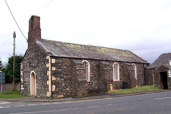 |
NY22783164 Bassenthwaite Church Room (Bassenthwaite) L |
|
|
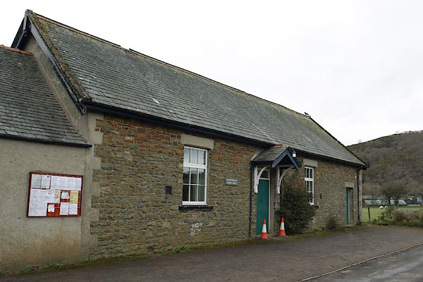 |
NY22973193 Bassenthwaite Parish Room (Bassenthwaite) |
|
|
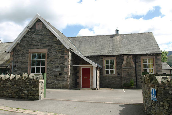 |
NY22823172 Bassenthwaite School (Bassenthwaite) |
|
|
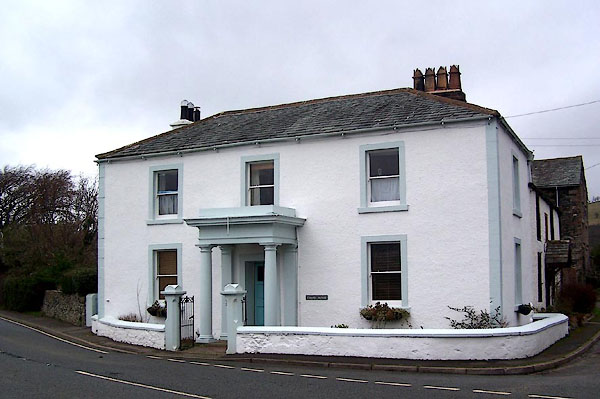 |
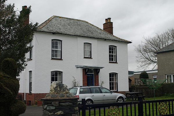
NY22753165 Chapel House (Bassenthwaite) L |
|
|
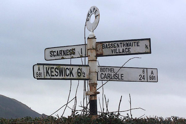 |
NY22753163 fingerpost, Bassenthwaite (Bassenthwaite) |
|
|
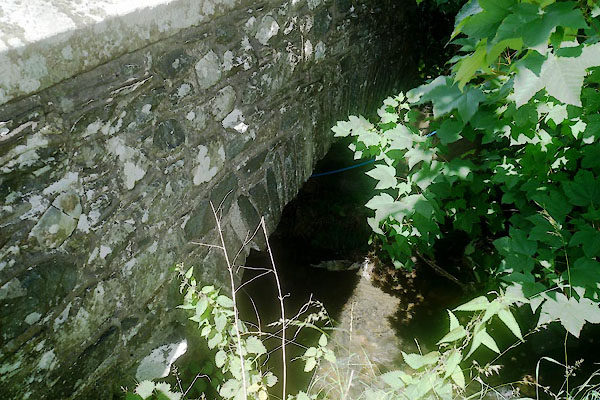 |
NY22743151 Gibbeson Bridge (Bassenthwaite) |
|
|
 |
NY22553181 Old Police House, The (Bassenthwaite) |
|
|
 |
NY22793163 Bassenthwaite School (Bassenthwaite) |
|
|
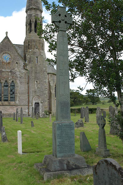 |
NY22903158 war memorial, Bassenthwaite (Bassenthwaite) |
|
|
 |
NY22803161 Chapel Bridge (Bassenthwaite) |
|
|
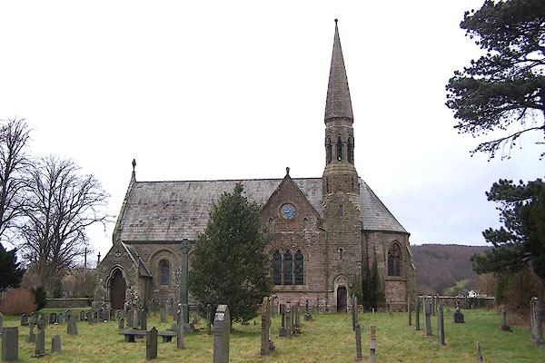 |
NY22903159 St John's Church (Bassenthwaite) |
|
