 Old Cumbria Gazetteer
 |
 |
|
| limekiln, Ireby (2) | ||
| civil parish:- | Ireby (formerly Cumberland) | |
| county:- | Cumbria | |
| locality type:- | limekiln | |
| locality type:- | limestone quarry | |
| locality type:- | quarry | |
| coordinates:- | NY23343779 (about) | |
| 1Km square:- | NY2337 | |
| 10Km square:- | NY23 | |
|
|
||
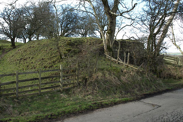 BSL44.jpg (taken 4.4.2010) 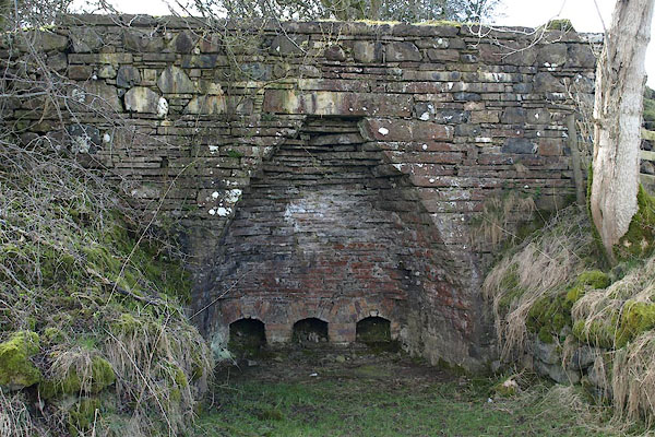 BSL45.jpg (taken 4.4.2010) |
||
|
|
||
| evidence:- | old map:- OS County Series (Cmd 47 1) |
|
| source data:- | Maps, County Series maps of Great Britain, scales 6 and 25
inches to 1 mile, published by the Ordnance Survey, Southampton,
Hampshire, from about 1863 to 1948. "Limekiln" |
|
|
|
||
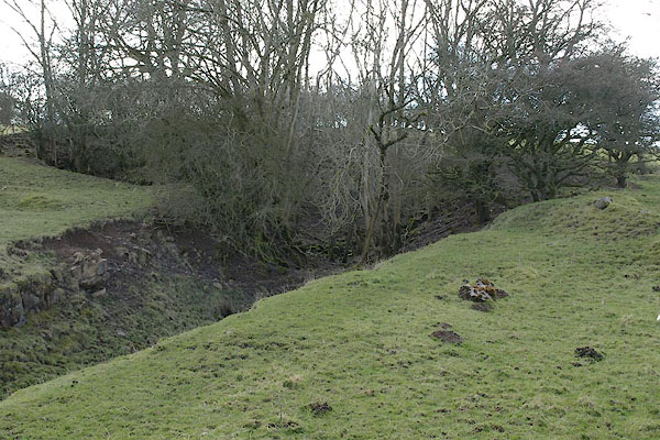 BSL46.jpg The quarry behind. (taken 4.4.2010) |
||
|
|
||
 Lakes Guides menu.