 Old Cumbria Gazetteer
 |
 |
|
| shelter, Uldale | ||
| locality:- | Meal Fell | |
| locality:- | Uldale Fells | |
| civil parish:- | Ireby (formerly Cumberland) | |
| county:- | Cumbria | |
| locality type:- | shelter | |
| locality type:- | currick (??) | |
| locality type:- | cairn | |
| coordinates:- | NY28193374 | |
| 1Km square:- | NY2833 | |
| 10Km square:- | NY23 | |
|
|
||
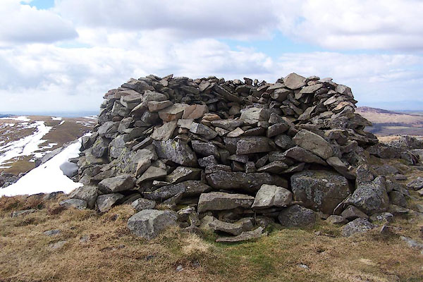 BSL68.jpg (taken 4.4.2010) 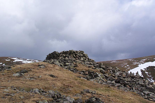 BSL69.jpg (taken 4.4.2010) |
||
| Is this a currick? |
||
|
|
||
 Lakes Guides menu.