 Old Cumbria Gazetteer
 |
 |
|
| Crook School, Crook | ||
| Crook School | ||
| locality:- | Crook | |
| civil parish:- | Crook (formerly Westmorland) | |
| county:- | Cumbria | |
| locality type:- | school (once) | |
| coordinates:- | SD43789514 | |
| 1Km square:- | SD4395 | |
| 10Km square:- | SD49 | |
| references:- | OS County Series |
|
|
|
||
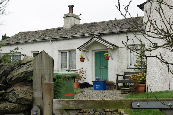 BSL82.jpg (ex school, or house on the site.) (taken 9.4.2010) |
||
|
|
||
| evidence:- | old map:- OS County Series (Wmd 33 13) placename:- Crook School |
|
| source data:- | Maps, County Series maps of Great Britain, scales 6 and 25
inches to 1 mile, published by the Ordnance Survey, Southampton,
Hampshire, from about 1863 to 1948. "Crook School (Endowed)" |
|
|
|
||
 Lakes Guides menu.