 Old Cumbria Gazetteer
 |
 |
|
| Hall Garth Farm, Hallgarth | ||
| Hall Garth Farm | ||
| locality:- | Hallgarth | |
| civil parish:- | Above Derwent (formerly Cumberland) | |
| county:- | Cumbria | |
| locality type:- | buildings | |
| coordinates:- | NY22462478 | |
| 1Km square:- | NY2224 | |
| 10Km square:- | NY22 | |
| references:- | Listed Buildings 2010 |
|
|
|
||
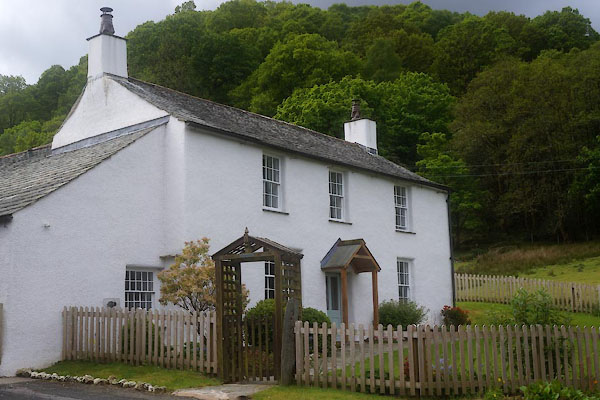 CGC77.jpg (taken 19.5.2017) |
||
|
|
||
| evidence:- | old map:- OS County Series (Cmd 63 4) placename:- Hallgarth |
|
| source data:- | Maps, County Series maps of Great Britain, scales 6 and 25
inches to 1 mile, published by the Ordnance Survey, Southampton,
Hampshire, from about 1863 to 1948. |
|
|
|
||
| evidence:- | database:- Listed Buildings 2010 placename:- Hall Garth Farm |
|
| source data:- | courtesy of English Heritage "HALL GARTH FARMHOUSE / / / ABOVE DERWENT / ALLERDALE / CUMBRIA / II / 72093 / NY2249524790" |
|
|
|
||
 Lakes Guides menu.