 |
 |
|
|
|
|
Hallgarth |
| civil parish:- |
Above Derwent (formerly Cumberland) |
| county:- |
Cumbria |
| locality type:- |
locality |
| locality type:- |
buildings |
| coordinates:- |
NY22482480 (etc) |
| 1Km square:- |
NY2224 |
| 10Km square:- |
NY22 |
|
|
| evidence:- |
old map:- OS County Series (Cmd 63 4)
placename:- Hallgarth
|
| source data:- |
Maps, County Series maps of Great Britain, scales 6 and 25
inches to 1 mile, published by the Ordnance Survey, Southampton,
Hampshire, from about 1863 to 1948.
|
|
|
| places:- |
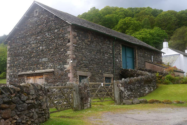 |
NY22492479 barn, Hallgarth (Above Derwent) |
|
|
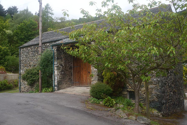 |
NY22462481 barn, Hallgarth (2) (Above Derwent) |
|
|
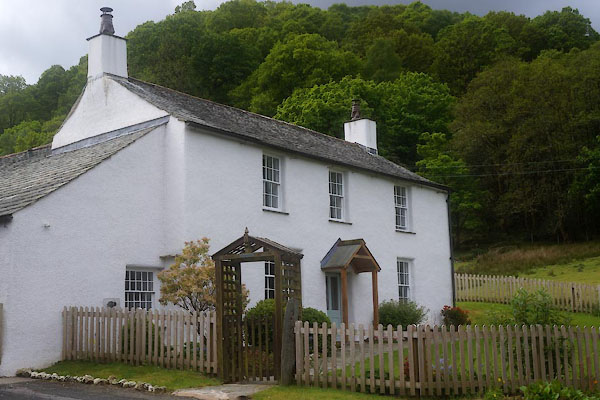 |
NY22462478 Hall Garth Farm (Above Derwent) L |
|
|
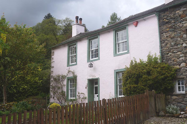 |
NY22442482 Hall Garth (Above Derwent) L |
|
|
 |
SD508943 motte, Kendal (Kendal) gone |
|
|
|
NY22652491 bridge, Above Derwent (3) (Above Derwent) |
|
