 Old Cumbria Gazetteer
 |
 |
|
| Low Row Station, Bromfield | ||
| gone | ||
| Low Row Station | ||
| site name:- | Maryport and Carlisle Railway | |
| locality:- | Low Row | |
| civil parish:- | Bromfield (formerly Cumberland) | |
| county:- | Cumbria | |
| locality type:- | railway station | |
| coordinates:- | NY19064490 | |
| 1Km square:- | NY1944 | |
| 10Km square:- | NY14 | |
| SummaryText:- | Opened 1844 or 1845; closed 1848. | |
|
|
||
| evidence:- | possibly old map:- OS County Series (Cmd 28 5) item:- railway milepost; railway bridge |
|
| source data:- | Maps, County Series maps of Great Britain, scales 6 and 25
inches to 1 mile, published by the Ordnance Survey, Southampton,
Hampshire, from about 1863 to 1948.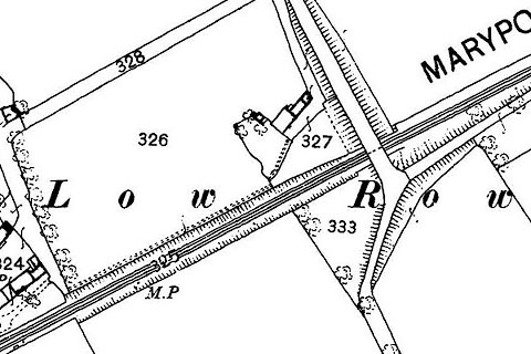 click to enlarge click to enlargeCSRY0052.jpg "M.P." |
|
|
|
||
 Lakes Guides menu.