 Old Cumbria Gazetteer
 |
 |
|
| Rookhowe Farm, Kentmere | ||
| Rookhowe Farm | ||
| civil parish:- | Kentmere (formerly Westmorland) | |
| county:- | Cumbria | |
| locality type:- | buildings | |
| coordinates:- | NY45910448 | |
| 1Km square:- | NY4504 | |
| 10Km square:- | NY40 | |
| references:- | Listed Buildings 2010 |
|
|
|
||
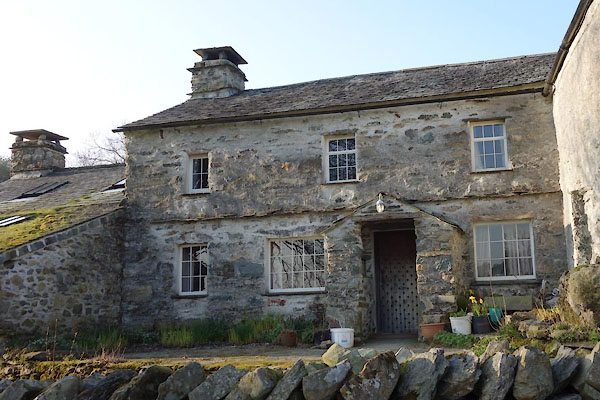 CAC32.jpg (taken 12.3.2014) 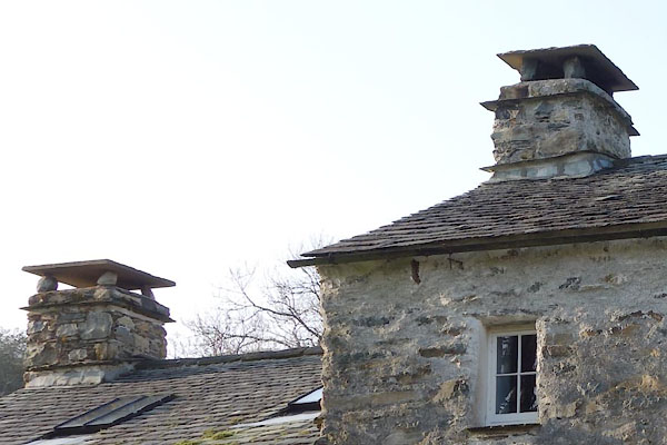 CAC33.jpg Chimneys. (taken 12.3.2014) |
||
|
|
||
| evidence:- | old map:- OS County Series (Wmd 27 6) placename:- Rookhowe |
|
| source data:- | Maps, County Series maps of Great Britain, scales 6 and 25
inches to 1 mile, published by the Ordnance Survey, Southampton,
Hampshire, from about 1863 to 1948. |
|
|
|
||
| evidence:- | database:- Listed Buildings 2010 placename:- Rookhowe Farm |
|
| source data:- | courtesy of English Heritage "ROOKHOWE FARMHOUSE AND ATTACHED, STABLE, BYRES, BARN AND WC / / / KENTMERE / SOUTH LAKELAND / CUMBRIA / II / 76482 / NY4591304486" |
|
|
|
||
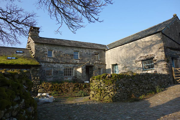 CAC34.jpg (taken 12.3.2014) |
||
|
|
||
 Lakes Guides menu.