 Old Cumbria Gazetteer
 |
 |
|
| pinfold, Hunsonby | ||
| gone | ||
| locality:- | Hunsonby | |
| civil parish:- | Hunsonby (formerly Cumberland) | |
| county:- | Cumbria | |
| locality type:- | pinfold | |
| coordinates:- | NY57993543 | |
| 1Km square:- | NY5735 | |
| 10Km square:- | NY53 | |
|
|
||
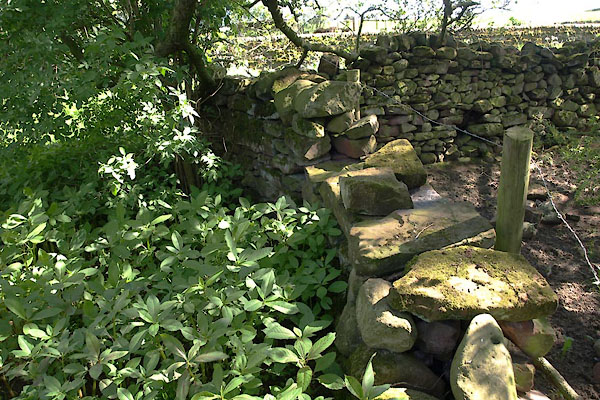 BWO01.jpg A stretch of the circular wall. (taken 25.5.2012) 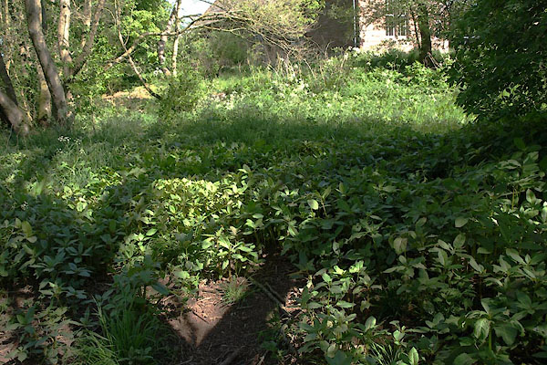 BWO02.jpg The blank site. (taken 25.5.2012) |
||
|
|
||
| evidence:- | old map:- OS County Series (Cmd 50 7) |
|
| source data:- | Maps, County Series maps of Great Britain, scales 6 and 25
inches to 1 mile, published by the Ordnance Survey, Southampton,
Hampshire, from about 1863 to 1948. circular, by river "Pinfold" |
|
|
|
||
 Lakes Guides menu.