 Old Cumbria Gazetteer
 |
 |
|
| stone wall, Loweswater (4) | ||
| locality:- | Sourfoot Fell | |
| locality:- | Mosser Fell | |
| civil parish:- | Loweswater (formerly Cumberland) | |
| county:- | Cumbria | |
| locality type:- | stone wall | |
| coordinates:- | NY13412356 | |
| 1Km square:- | NY1323 | |
| 10Km square:- | NY12 | |
| solid geology | ||
| stratigraphy:- | Skiddaw Group; siltstone; mudstone | |
| stratigraphy:- | Ordovician; Arenig | |
| stratigraphy:- | Ordovician; Llanvirn | |
|
|
||
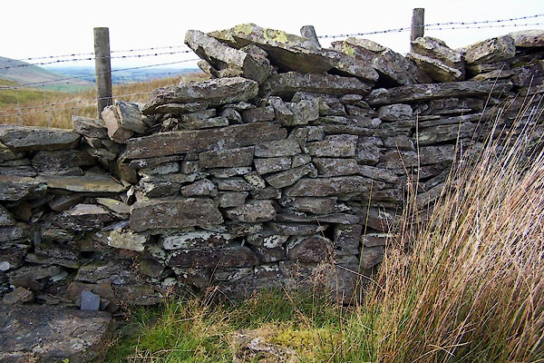 BXK17.jpg (taken 23.9.2012) 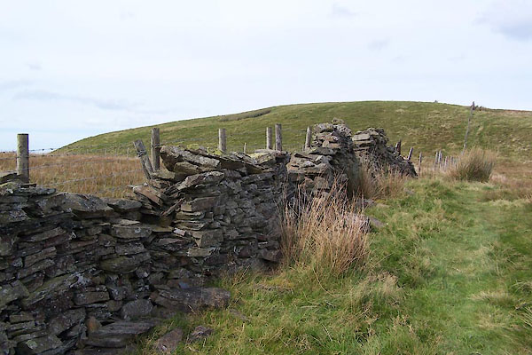 BXK18.jpg (taken 23.9.2012) |
||
|
|
||
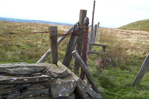 BXK19.jpg Alternatives to walling. (taken 23.9.2012) |
||
|
|
||
 Lakes Guides menu.