 Old Cumbria Gazetteer
 |
 |
|
| Ship Inn, Sandside | ||
| locality:- | Sandside | |
| civil parish:- | Beetham (formerly Westmorland) | |
| county:- | Cumbria | |
| locality type:- | inn | |
| coordinates:- | SD47768072 | |
| 1Km square:- | SD4780 | |
| 10Km square:- | SD48 | |
|
|
||
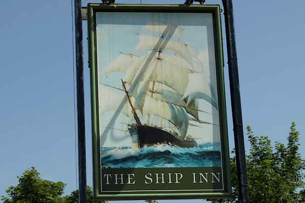 BYU29.jpg Innsign, a ship. (taken 11.7.2013) 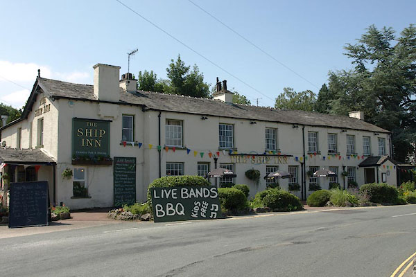 BYU28.jpg (taken 11.7.2013) |
||
|
|
||
| evidence:- | old map:- OS County Series (Wmd 46 2) placename:- Ship Inn |
|
| source data:- | Maps, County Series maps of Great Britain, scales 6 and 25
inches to 1 mile, published by the Ordnance Survey, Southampton,
Hampshire, from about 1863 to 1948. |
|
|
|
||
| hearsay:- |
A ferry used to operate across the bay from here. There was a serious accident on
1905, the ferry with ten passengers was upset in rough seas, six died. |
|
|
|
||
 Lakes Guides menu.