 Old Cumbria Gazetteer
 |
 |
|
| bridge, Culgaith | ||
| site name:- | Little Briggle Beck | |
| civil parish:- | Culgaith (formerly Cumberland) | |
| civil parish:- | Hunsonby (formerly Cumberland) | |
| county:- | Cumbria | |
| locality type:- | bridge | |
| coordinates:- | NY59633443 | |
| 1Km square:- | NY5934 | |
| 10Km square:- | NY53 | |
|
|
||
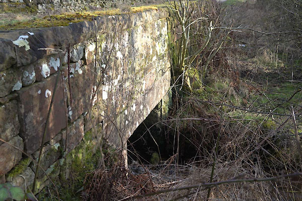 CCM22.jpg (taken 20.2.2015) |
||
|
|
||
| evidence:- | old map:- OS County Series (Cmd 50 12) |
|
| source data:- | Maps, County Series maps of Great Britain, scales 6 and 25
inches to 1 mile, published by the Ordnance Survey, Southampton,
Hampshire, from about 1863 to 1948. "Ford / Foot Bridge / B.S." |
|
|
|
||
 Lakes Guides menu.