Old Cumbria Gazetteer
 |
 |
|
||
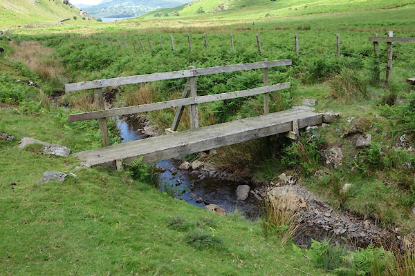
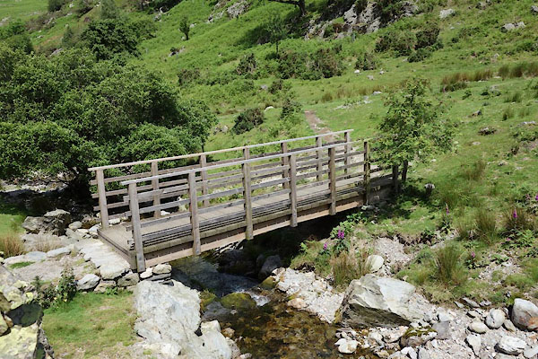
| Squat Beck | ||||
| civil parish:- | Buttermere (formerly Cumberland) | |||
| county:- | Cumbria | |||
| locality type:- | river | |||
| 1Km square:- | NY1718 (etc) | |||
| 10Km square:- | NY11 | |||
|
|
||||
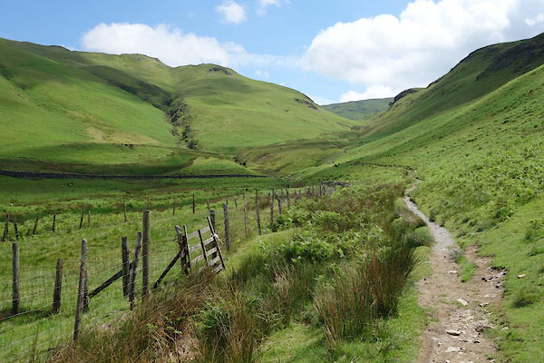
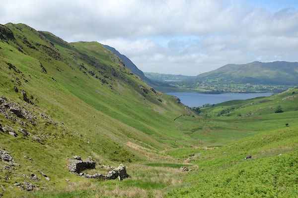 CAY17.jpg The valley. (taken 11.6.2014) 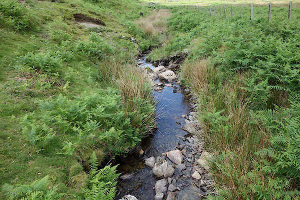 CAY22.jpg (taken 11.6.2014) |
||||
|
|
||||
| evidence:- | old map:- OS County Series (Cmd 69 2) placename:- Squat Beck |
|||
| source data:- | Maps, County Series maps of Great Britain, scales 6 and 25
inches to 1 mile, published by the Ordnance Survey, Southampton,
Hampshire, from about 1863 to 1948. |
|||
|
|
||||
 CAY24.jpg The valley. (taken 11.6.2014) 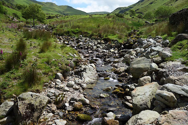 CAY27.jpg (taken 11.6.2014) 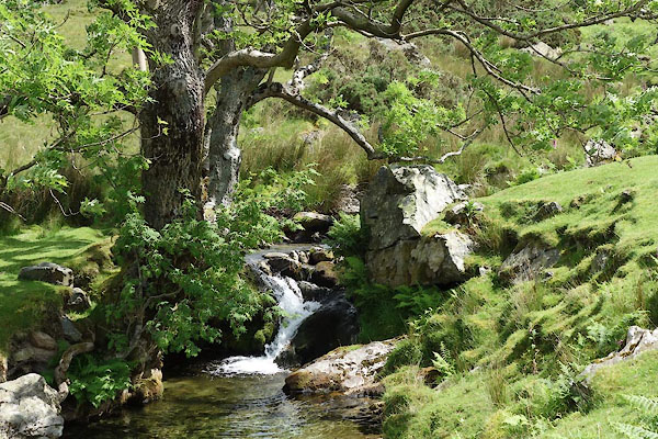 CAY28.jpg (taken 11.6.2014) |
||||
|
|
||||
| places:- |
|
|||
|
||||
 Lakes Guides menu.