 Old Cumbria Gazetteer
 |
 |
|
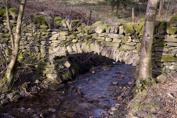
| stone wall, Crook | ||
| locality:- | Mitchelland | |
| civil parish:- | Crook (formerly Westmorland) | |
| county:- | Cumbria | |
| locality type:- | stone wall | |
| coordinates:- | SD43319504 | |
| 1Km square:- | SD4395 | |
| 10Km square:- | SD49 | |
|
|
||
 CCH51.jpg (taken 4.2.2015) |
||
|
|
||
 Lakes Guides menu.