 |
 |
|
|
|
|
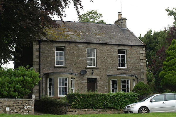
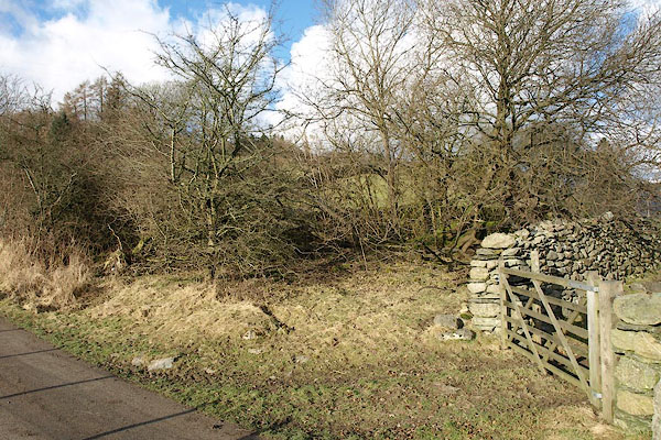
Town Head |
| locality:- |
Morland |
| civil parish:- |
Morland (formerly Westmorland) |
| county:- |
Cumbria |
| locality type:- |
locality |
| locality type:- |
buildings |
| coordinates:- |
NY60152205 (etc) |
| 1Km square:- |
NY6022 |
| 10Km square:- |
NY62 |
|
|
| evidence:- |
old map:- OS County Series (Wmd 8 11)
placename:- Town Head
|
| source data:- |
Maps, County Series maps of Great Britain, scales 6 and 25
inches to 1 mile, published by the Ordnance Survey, Southampton,
Hampshire, from about 1863 to 1948.
|
|
|
| places:- |
 |
NY33620919 Belle Vue (Lakes) |
|
|
 |
NY33180988 bridge, Lakes (3) (Lakes) |
|
|
 |
NY62101409 Croft House (Crosby Ravensworth) |
|
|
 |
NY62081400 Fell Gate (Crosby Ravensworth) L |
|
|
 |
NY62091404 fingerpost, Crosby Ravensworth (Crosby Ravensworth) |
|
|
|
NY413037 Gallows Howe (Lakes) |
|
|
 |
NY72150365 Haven, The (Ravenstonedale) L |
|
|
 |
NY33530944 High Broadrain (Lakes) L |
|
|
 |
NY72160368 High Chapel House (Ravenstonedale) L |
|
|
 |
NY33580932 Low Broadrain (Lakes) L |
|
|
|
NY33610914 Mill Bridge (Lakes) |
|
|
 |
NY41610394 pinfold, Troutbeck (Lakes) |
|
|
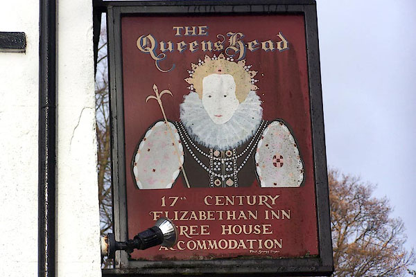 |
NY41400376 Queens Head (Lakes) L |
|
|
|
NY336091 smithy, Grasmere (Lakes) |
|
|
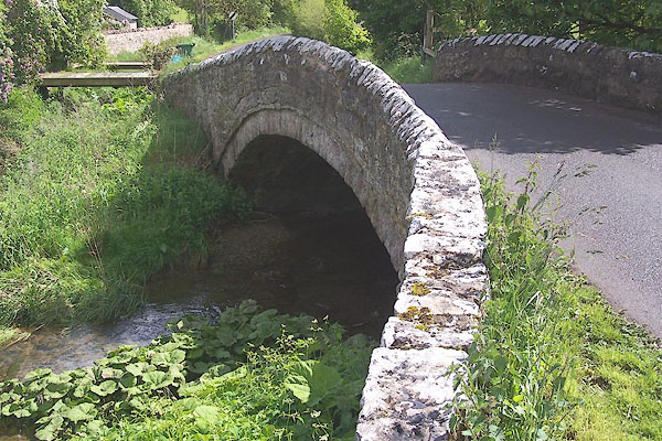 |
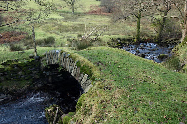
NY60172204 Town Head Bridge (Morland) |
|
|
 |
NY72170366 Town Head Cottage (Ravenstonedale) L |
|
|
|
NY67761270 Town Head Farm (Asby) |
|
|
 |
NY33310987 Town Head Farm (Lakes) L |
|
|
|
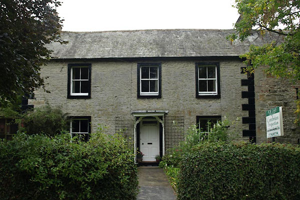
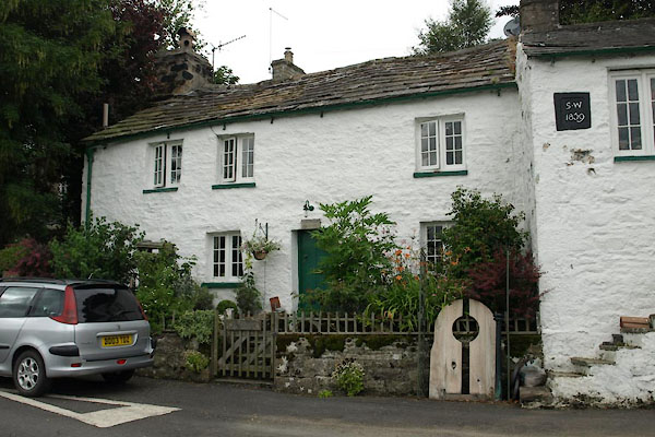
NY60132209 Town Head Farm (Morland) |
|
|
|
NY72090379 Town Head Farm (Ravenstonedale) |
|
|
 |
NY33320982 Townhead Cottages (Lakes) L |
|
|
 |
NY69372484 water trough, Dufton (3) (Dufton) |
|
|
 |
NY33390992 Toll Bar Cottage (Lakes) |
|
