 Old Cumbria Gazetteer
 |
 |
|
| Bowers Wood house, Longsleddale | ||
| gone | ||
| Bowers Wood house | ||
| locality:- | Longsleddale | |
| civil parish:- | Longsleddale (formerly Westmorland) | |
| county:- | Cumbria | |
| locality type:- | buildings (site) | |
| coordinates:- | NY50620214 | |
| 1Km square:- | NY5002 | |
| 10Km square:- | NY50 | |
| SummaryText:- | In the Corn Rent Act schedule as a housestead; other source record occupation between 1732 and 1839. | |
| references:- | Kendal Corn Rent Act 1836 |
|
|
|
||
 old parish registers (formerly ) old parish registers (formerly ) |
||
|
|
||
| evidence:- | old map:- Jefferys 1770 (Wmd) placename:- Boar Wood |
|
| source data:- | Map, 4 sheets, The County of Westmoreland, scale 1 inch to 1
mile, surveyed 1768, and engraved and published by Thomas
Jefferys, London, 1770.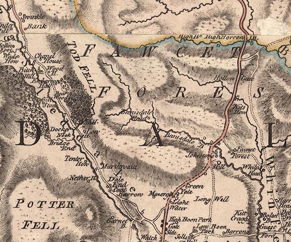 J5NY50SW.jpg "Boar Wood" circle, labelled in italic lowercase text; settlement, farm, house, or hamlet? item:- National Library of Scotland : EME.s.47 Image © National Library of Scotland |
|
|
|
||
| evidence:- | old map:- Hodgson 1828 placename:- Bower Wood |
|
| source data:- | Map, hand coloured engraving, 4 sheets mounted together on linen and rolled, Plan
of the County of Westmorland, scale about 1.25 inches to 1 mile, by Thomas Hodgson,
engraved by W R Gardner, Harpur Street, London, published by Thomas Hodgson, Lancaster,
and perhaps by C Smith, 172 Strand, London,1828.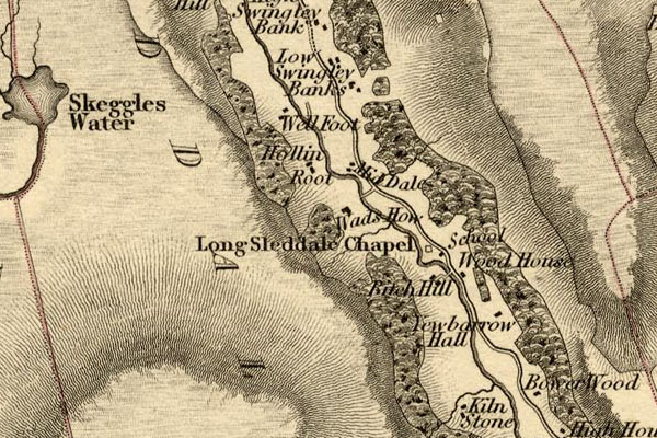 HDG6lsl2.jpg map courtesy of Mark Cropper "Bower Wood" item:- private collection : 371 Image © see bottom of page |
|
|
|
||
 Lakes Guides menu.