 |
 |
|
|
|
|
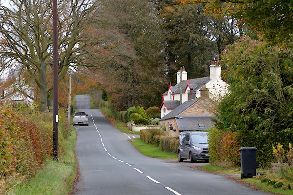
Catlowdy |
| civil parish:- |
Nicholforest (formerly Cumberland) |
| county:- |
Cumbria |
| locality type:- |
locality |
| locality type:- |
buildings |
| coordinates:- |
NY46067686 (etc) |
| 1Km square:- |
NY4676 |
| 10Km square:- |
NY47 |
|
|
|
CGT87.jpg (taken 20.10.2017)
|
|
|
| evidence:- |
old map:- OS County Series (Cmd 3 14)
placename:- Catlowdy
|
| source data:- |
Maps, County Series maps of Great Britain, scales 6 and 25
inches to 1 mile, published by the Ordnance Survey, Southampton,
Hampshire, from about 1863 to 1948.
|
|
|
| evidence:- |
old map:- Donald 1774 (Cmd)
placename:- Catlowdy
|
| source data:- |
Map, hand coloured engraving, 3x2 sheets, The County of Cumberland, scale about 1
inch to 1 mile, by Thomas Donald, engraved and published by Joseph Hodskinson, 29
Arundel Street, Strand, London, 1774.
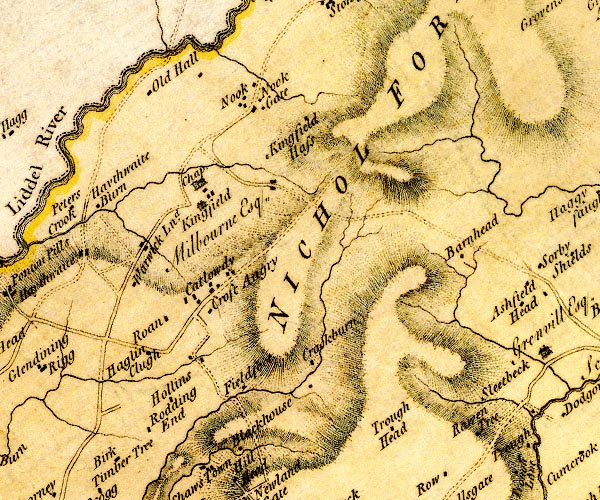
D4NY47NE.jpg
"Catlowdy"
block or blocks, labelled in lowercase; a hamlet or just a house
item:- Carlisle Library : Map 2
Image © Carlisle Library |
|
|
| places:- |
 |
NY45867692 Bessiestown (Nicholforest) |
|
|
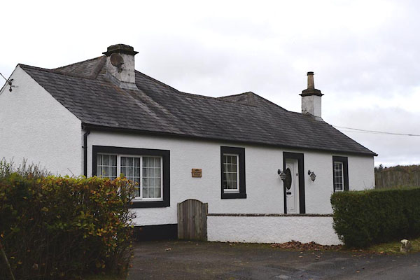 |
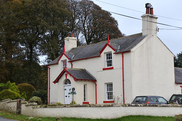
NY46227697 Catlowdy Cottage (Nicholforest) |
|
|
 |
NY46107687 Corner Cottage (Nicholforest) |
|
|
|
NY45917657 Croftangry Tree (Nicholforest) |
|
|
|
NY45857667 Croftangry (Nicholforest) gone? |
|
|
|
NY45687677 Gleba Bank (Nicholforest) |
|
|
|
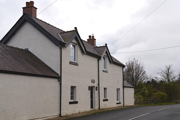
NY46157717 High Catlowdy (Nicholforest) |
|
|
|
NY45877665 Jerrys Knowe (Nicholforest) |
|
|
|
NY45787671 Jerry's Well (Nicholforest) |
|
|
 |
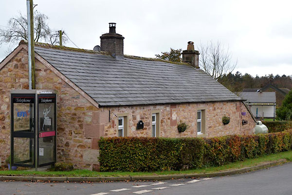
NY46137688 Lowfield House (Nicholforest) |
|
|
|
NY45967688 Megsmire (Nicholforest) gone |
|
|
|
NY45717683 Mid Catlowdy (Nicholforest) |
|
|
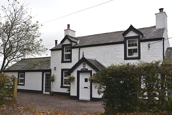 |
NY46177693 Milbourne House (Nicholforest) |
|
|
 |
NY45957678 Pleaknowes (Nicholforest) |
|
|
|
NY45727688 Priest's Well (Nicholforest) |
|
|
|
NY45367661 Roan (Nicholforest) |
|
|
|
NY45897705 Simon's Onset (Nicholforest) |
|
|
|
NY46387551 Holy Well (Nicholforest) |
|
|
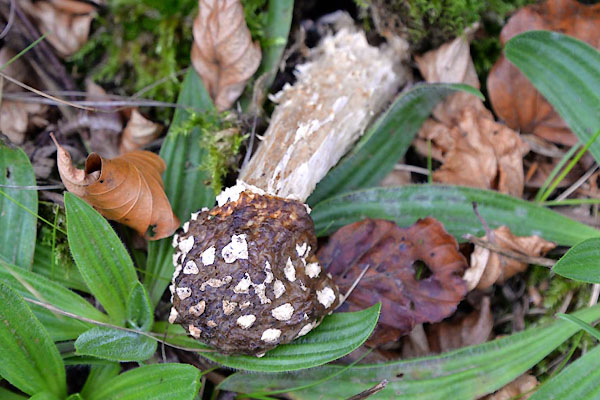 |
NY46087688 fungus, Catlowdy (Nicholforest) |
|
