


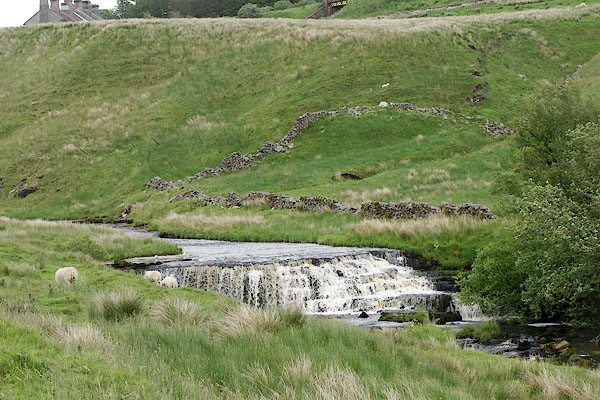
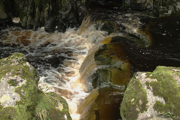
BQV29.jpg Cascade,
below a rasied beach.
(taken 18.6.2009)
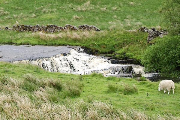
BQV30.jpg Cascade,
(taken 18.6.2009)
placename:- Clough River
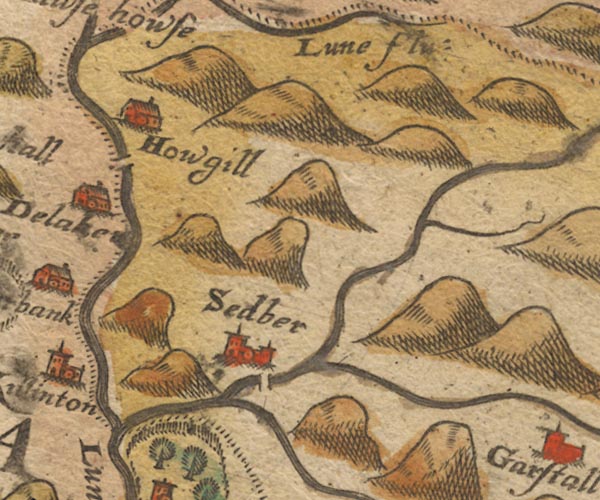
Sax9SD69.jpg
item:- private collection : 2
Image © see bottom of page
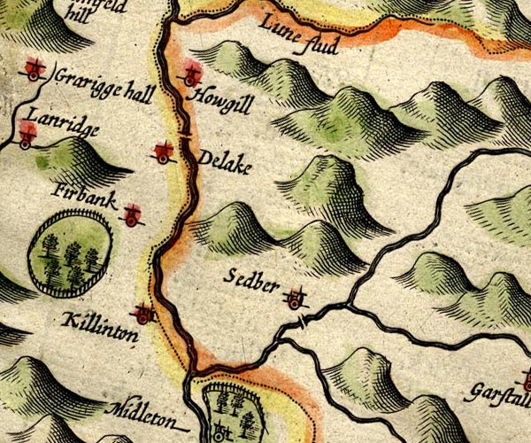
SP14SD69.jpg
double line, into the Rawthey
item:- Armitt Library : 2008.14.5
Image © see bottom of page
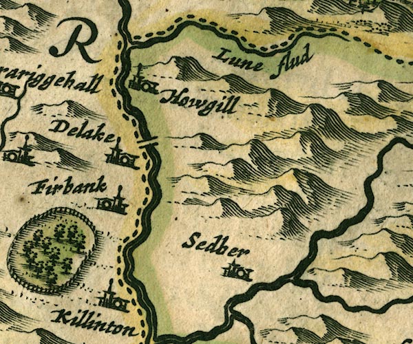
JAN3SD69.jpg
Double wiggly line, tapering to single.
item:- JandMN : 88
Image © see bottom of page
 click to enlarge
SAN2Cm.jpg
tapering wiggly line; river
item:- Dove Cottage : 2007.38.15
Image © see bottom of page
 click to enlarge
SEL7.jpg
tapering wiggly line; river
item:- Dove Cottage : 2007.38.87
Image © see bottom of page
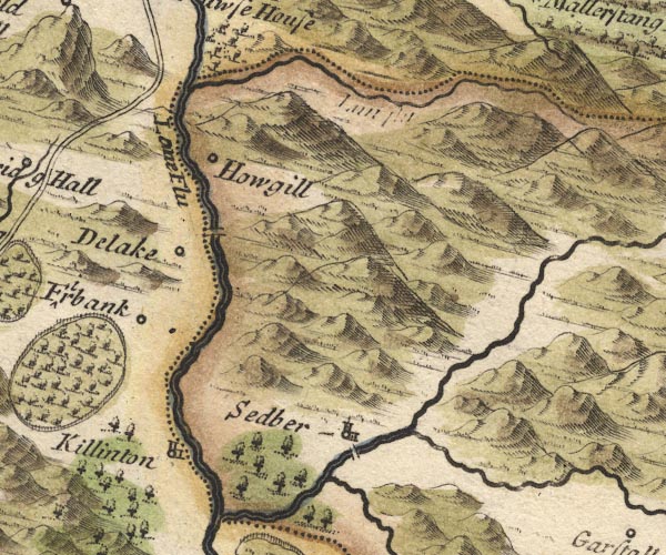
MD10SD69.jpg
item:- JandMN : 24
Image © see bottom of page
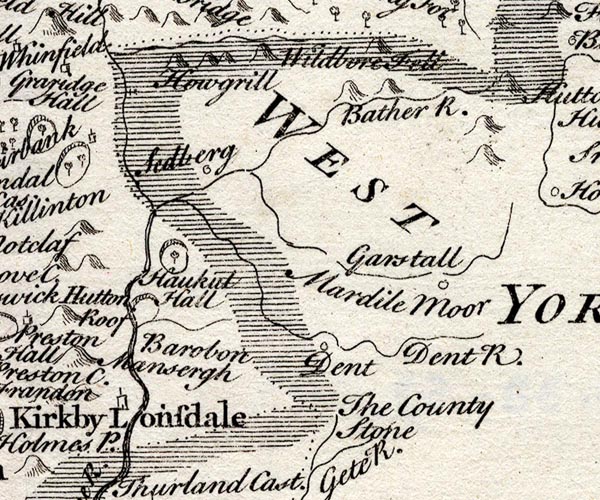
SMP2SDU.jpg
Wiggly line.
item:- Dove Cottage : 2007.38.59
Image © see bottom of page
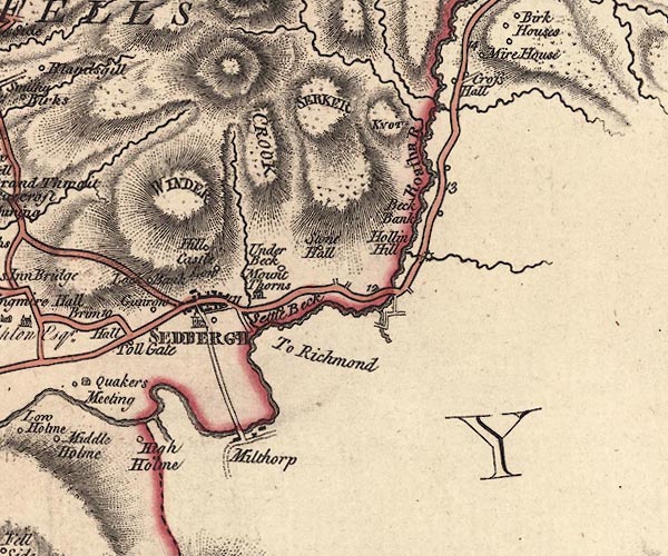
J5SD69SE.jpg
single or double wiggly line; river
item:- National Library of Scotland : EME.s.47
Image © National Library of Scotland
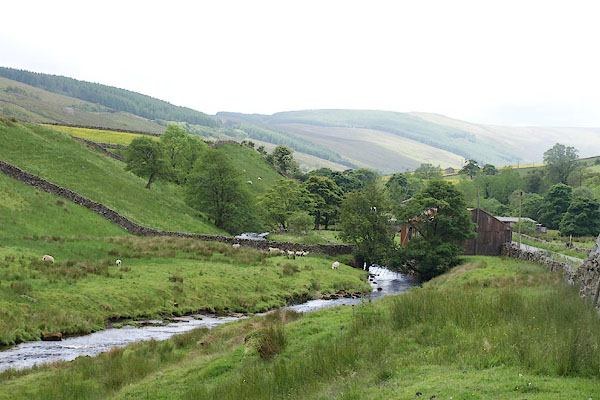
BQV31.jpg Down from
(taken 18.6.2009)
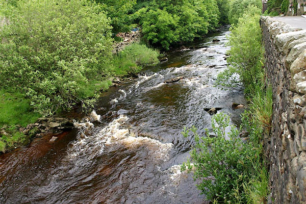
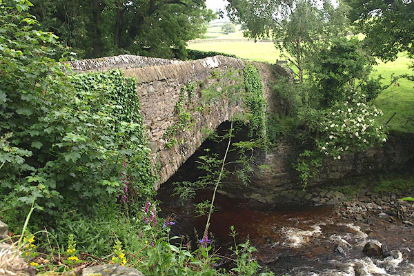
BQV19.jpg At the bridge in Garsdale at,
(taken 18.6.2009)
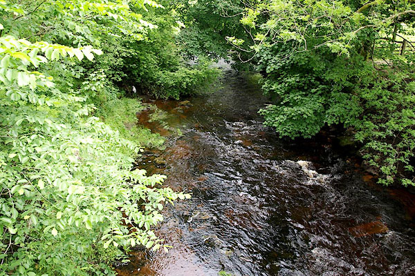
BQV13.jpg At the bridge in Garsdale at,
(taken 18.6.2009)
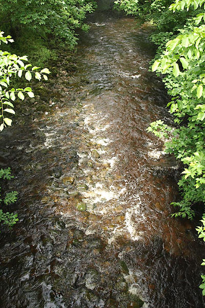
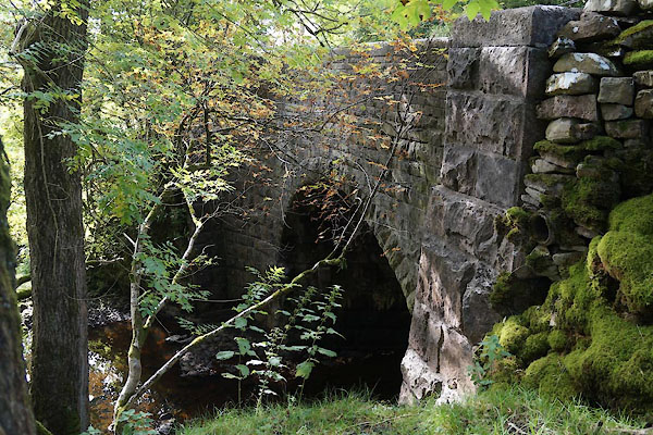
BQU94.jpg At New Bridge.
(taken 18.6.2009)
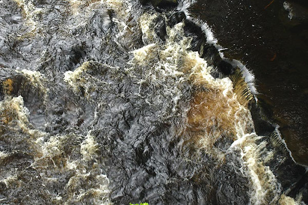
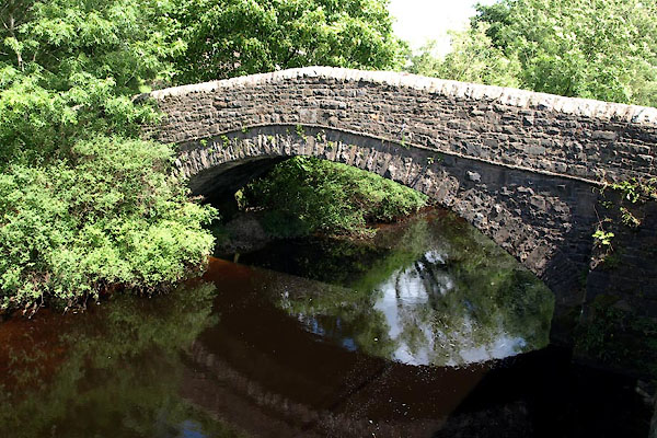
BPJ65.jpg At Garsdale Bridge.
(taken 30.6.2008)
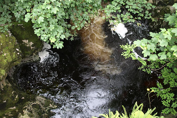
BWX75.jpg Above Danny Bridge,
(taken 22.7.2012)
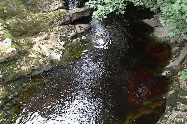
BWX76.jpg Below Danny Bridge,
(taken 22.7.2012)
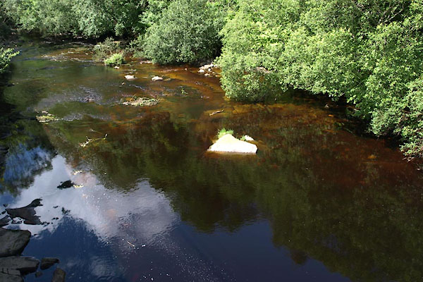
BWZ03.jpg At Bens Bridge,
(taken 27.7.2012)
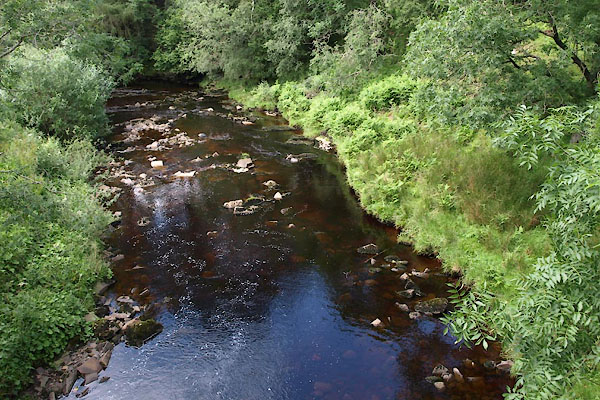
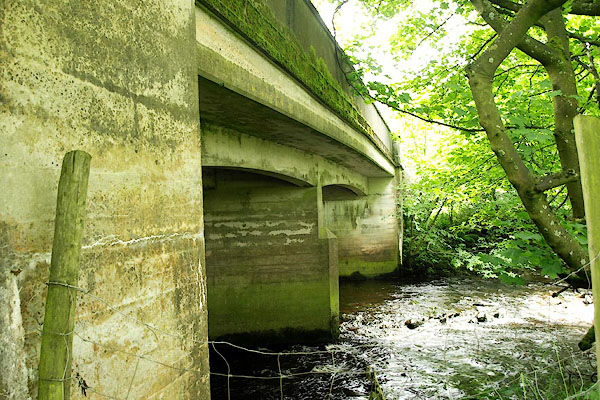
BWZ16.jpg At Mill Bridge,
(taken 27.7.2012)
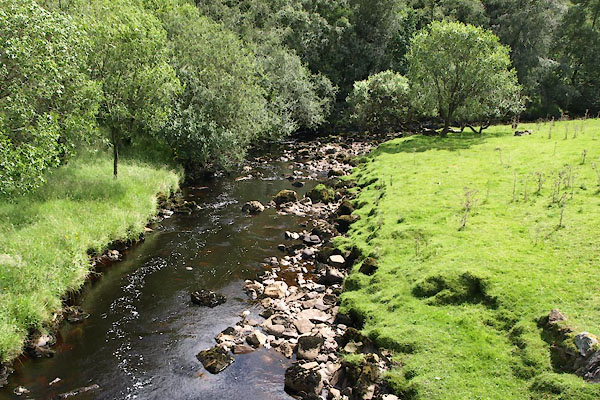
BWZ19.jpg At Knudman Bridge,
(taken 27.7.2012)
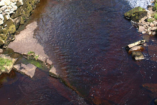
BWZ22.jpg At Hard Ing Bridge,
(taken 27.7.2012)
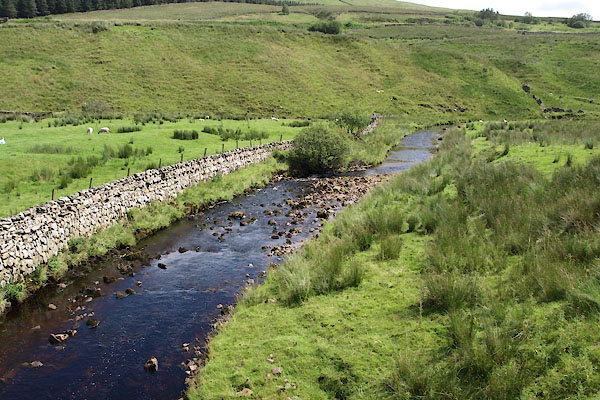
BWZ24.jpg At Clough Bridge,
Notice the raised beach.
(taken 27.7.2012)
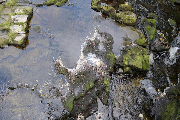
CBS84.jpg At Banks Bridge,
In dry weather.
(taken 19.9.2014)
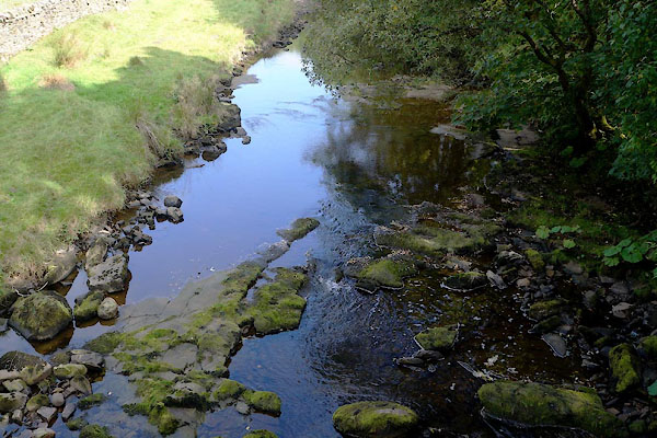
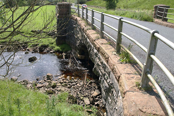
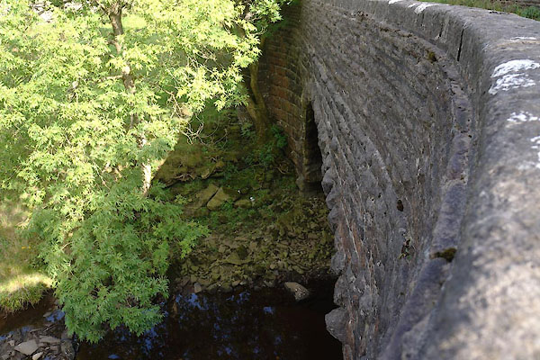
CBS85.jpg At Banks Bridge,
In dry weather.
(taken 19.9.2014)
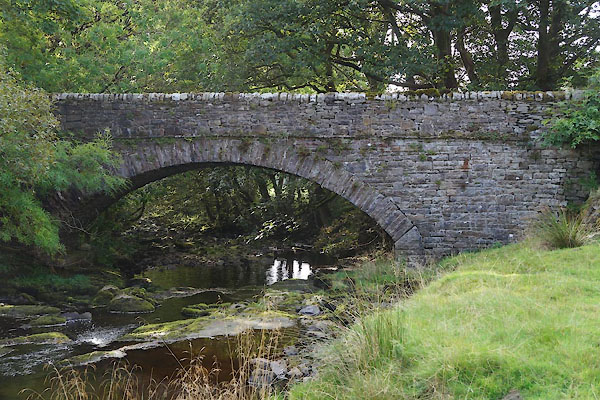 |
SD76209007 Banks Bridge (Garsdale) L |
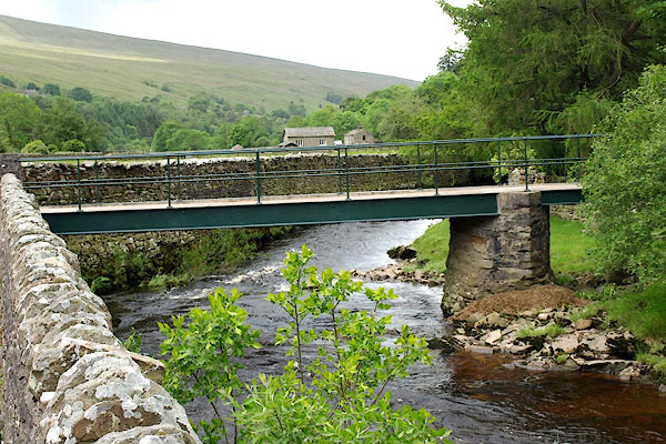 |
SD74768962 bridge, Garsdale (3) (Garsdale) |
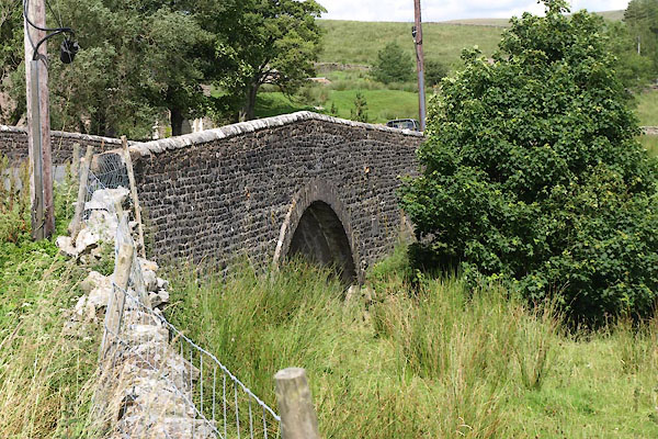 |
SD78479187 Clough Bridge (Garsdale) |
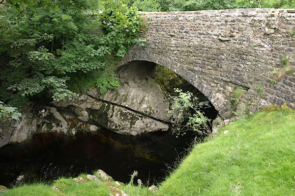 |
SD69819128 Danny Bridge (Sedbergh) L |
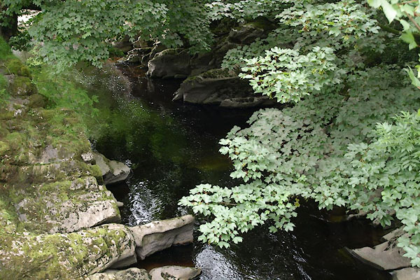 |
SD69779128 Danny Wheel (Sedbergh) |
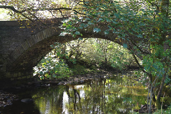 |
SD71859055 East Bridge (Garsdale) |
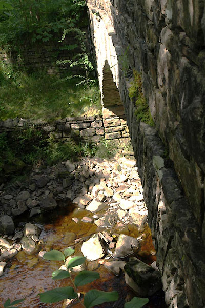 |
SD75738992 East Coat Weggs Bridge (Garsdale) L |
 |
SD68169171 Hallbank Ford (Sedbergh) |
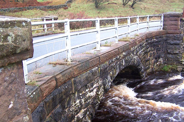 |
SD78179152 Hard Ing Bridge (Garsdale) |
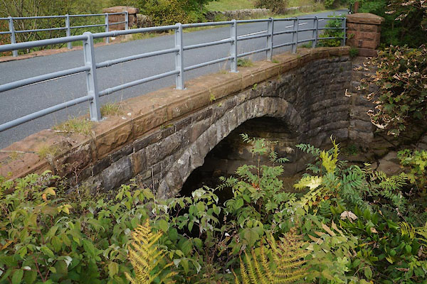 |
SD77439072 Ingheads Bridge (Garsdale) |
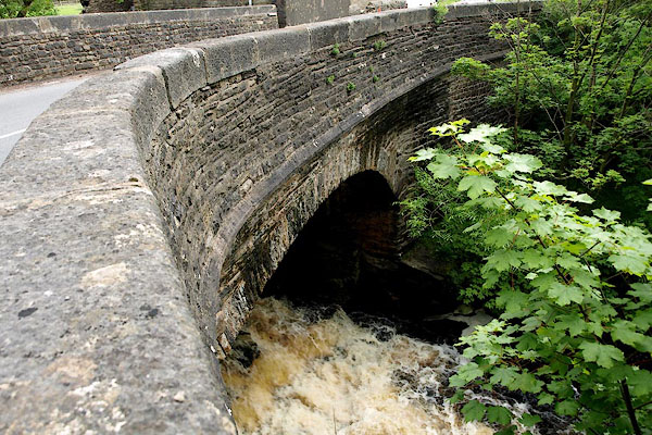 |
SD74508963 Kirk Bridge (Garsdale) L |
 |
SD77969116 Knudman Bridge (Garsdale) |
 |
SD71949116 Low Scale Bridge (Garsdale) |
 |
SD76729028 Mill Bridge (Garsdale) L |
 |
SD71349066 New Bridge (Garsdale) |
 |
SD77199057 Scar Foot Bridge (Garsdale) L |
 |
SD69149163 Sparrow Ford (Sedbergh) |
 |
SD69479146 waterfall, Garsdale (Garsdale) |
 |
SD67669201 Garsdale Bridge (Sedbergh) L |
 |
SD75178973 Bens Bridge (Garsdale) L |
