 Old Cumbria Gazetteer
 |
 |
|
| Crag Hill, Buttermere | ||
| Crag Hill | ||
| civil parish:- | Buttermere (formerly Cumberland) | |
| civil parish:- | Above Derwent (formerly Cumberland) | |
| county:- | Cumbria | |
| locality type:- | hill | |
| locality type:- | boundary feature | |
| locality type:- | parish boundary feature | |
| coordinates:- | NY19262033 (etc) | |
| 1Km square:- | NY1920 | |
| 10Km square:- | NY12 | |
| altitude:- | 2752 feet | |
| altitude:- | 839m | |
|
|
||
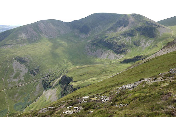 CDS02.jpg from Hobcarton. (taken 17.8.2015) 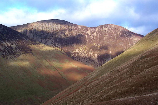 BLM47.jpg From the path up Knott Rigg from Newlands Hause; Sail on the right. (taken 25.12.2005) |
||
|
|
||
| evidence:- | old map:- OS County Series (Cmd 63 15) placename:- Crag Hill |
|
| source data:- | Maps, County Series maps of Great Britain, scales 6 and 25
inches to 1 mile, published by the Ordnance Survey, Southampton,
Hampshire, from about 1863 to 1948. |
|
|
|
||
| evidence:- | possibly descriptive text:- West 1778 (11th edn 1821) |
|
| source data:- | Guide book, A Guide to the Lakes, by Thomas West, published by
William Pennington, Kendal, Cumbria once Westmorland, and in
London, 1778 to 1821. goto source goto sourcePage 134:- "The road, or rather track, [from Newlands Hause] ... On the right, at the head of a deep green hill, a naked furrowed mountain, of an orange hue, has a strange appearance amongst its verdant neighbours, and sinks, by his height, even Skiddaw itself." |
|
|
|
||
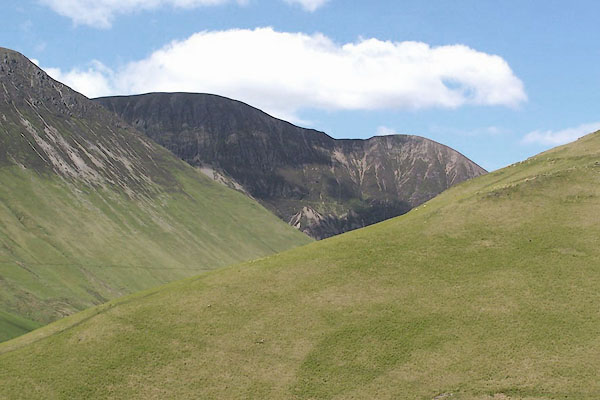 BJQ12.jpg (taken 10.6.2005) 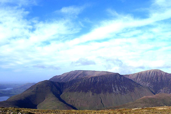 BNE28.jpg Whiteless Pike; Grasmoor and Wandhope; Crag Hill (taken 14.2.2007) 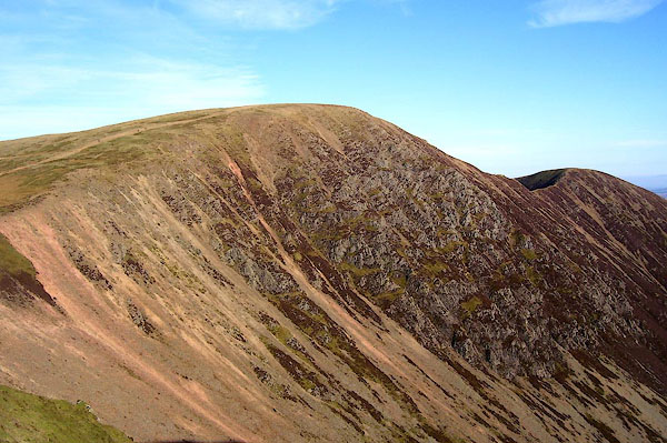 BOR75.jpg (taken 13.2.2008) 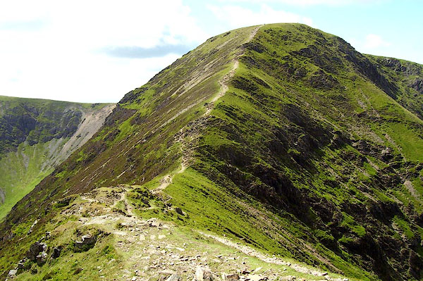 BPJ46.jpg (taken 23.6.2008) 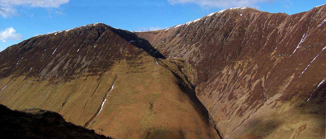 Click to enlarge BSD30.jpg Wandope, Addacomb, Crag Hill, Scar Crags. (taken 10.2.2010) |
||
|
|
||
Lakes Guides menu.