button to main menu  Old Cumbria Gazetteer
Dearham
civil parish:-   Dearham (formerly Cumberland)
county:-   Cumbria
locality type:-   locality
locality type:-   buildings
coordinates:-   NY07093615 (etc) 
1Km square:-   NY0736
10Km square:-   NY03

evidence:-   old map:- OS County Series (Cmd 45 6) 
placename:-  Dearham
source data:-   Maps, County Series maps of Great Britain, scales 6 and 25 inches to 1 mile, published by the Ordnance Survey, Southampton, Hampshire, from about 1863 to 1948.

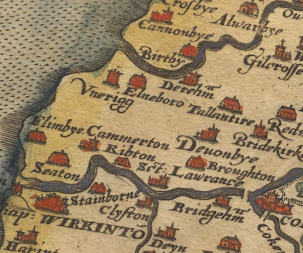
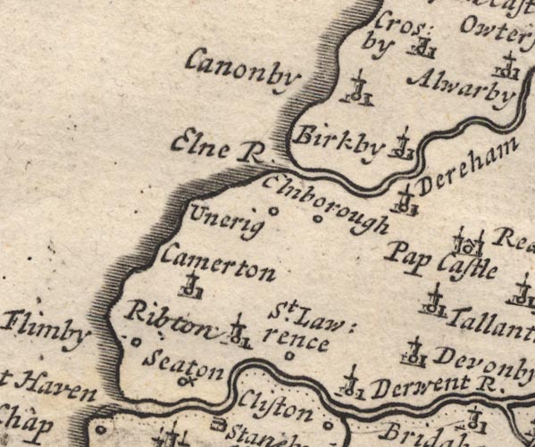
evidence:-   old map:- Saxton 1579
placename:-  Dereham
source data:-   Map, hand coloured engraving, Westmorlandiae et Cumberlandiae Comitatus ie Westmorland and Cumberland, scale about 5 miles to 1 inch, by Christopher Saxton, London, engraved by Augustinus Ryther, 1576, published 1579-1645.
image
Sax9NY03.jpg
Church, symbol for a parish or village, with a parish church.  "Dereham"
item:-  private collection : 2
Image © see bottom of page

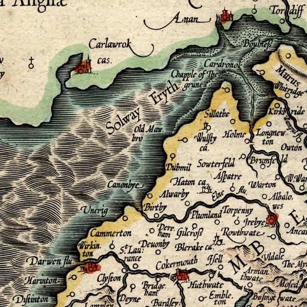
evidence:-   old map:- Mercator 1595 (edn?) 
placename:-  Dereham
source data:-   Map, hand coloured engraving, Northumbria, Cumberlandia, et Dunelmensis Episcopatus, ie Northumberland, Cumberland and Durham etc, scale about 6.5 miles to 1 inch, by Gerard Mercator, Duisberg, Germany, about 1595.
image
MER8CumB.jpg
"Dereham"
circle 
item:-  JandMN : 169
Image © see bottom of page

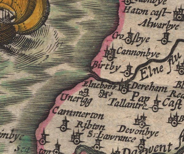
evidence:-   old map:- Speed 1611 (Cmd) 
placename:-  Dereham
source data:-   Map, hand coloured engraving, Cumberland and the Ancient Citie Carlile Described, scale about 4 miles to 1 inch, by John Speed, 1610, published by J Sudbury and George Humble, Popes Head Alley, London, 1611-12.
image
SP11NY03.jpg
"Dereham"
circle, building, tower 
item:-  private collection : 16
Image © see bottom of page

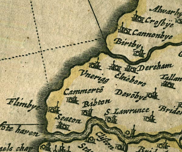
evidence:-   old map:- Jansson 1646
placename:-  Dereham
source data:-   Map, hand coloured engraving, Cumbria and Westmoria, ie Cumberland and Westmorland, scale about 3.5 miles to 1 inch, by John Jansson, Amsterdam, Netherlands, 1646.
image
JAN3NY03.jpg
"Dereham"
Buildings and tower. 
item:-  JandMN : 88
Image © see bottom of page

evidence:-   old map:- Morden 1695 (Cmd) 
placename:-  Dereham
source data:-   Map, uncoloured engraving, Cumberland, scale about 4 miles to 1 inch, by Robert Morden, 1695, published by Abel Swale, the Unicorn, St Paul's Churchyard, Awnsham, and John Churchill, the Black Swan, Paternoster Row, London, 1695-1715.
image
MD12NY03.jpg
"Dereham"
Circle, building and tower. 
item:-  JandMN : 90
Image © see bottom of page

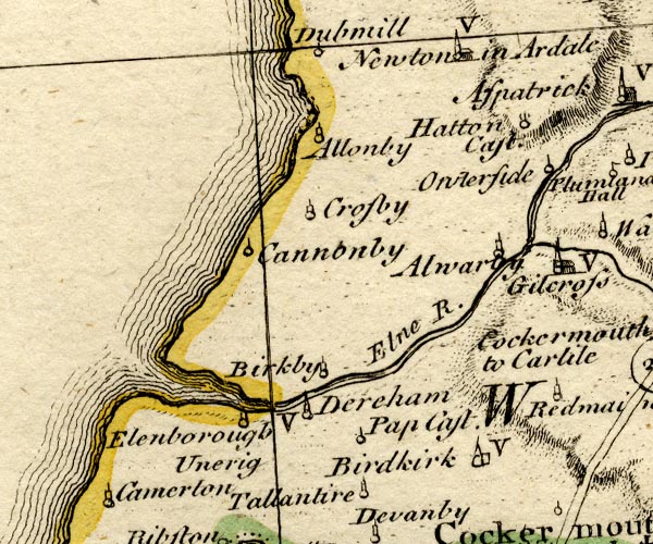
evidence:-   old map:- Bowen and Kitchin 1760
placename:-  Dereham
source data:-   Map, hand coloured engraving, A New Map of the Counties of Cumberland and Westmoreland Divided into their Respective Wards, scale about 4 miles to 1 inch, by Emanuel Bowen and Thomas Kitchin et al, published by T Bowles, Robert Sayer, and John Bowles, London, 1760.
image
BO18NY03.jpg
"Dereham / V"
circle, tower, vicarage 
item:-  Armitt Library : 2008.14.10
Image © see bottom of page

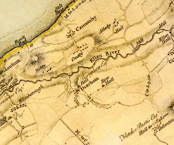
evidence:-   old map:- Donald 1774 (Cmd) 
placename:-  Dearham
source data:-   Map, hand coloured engraving, 3x2 sheets, The County of Cumberland, scale about 1 inch to 1 mile, by Thomas Donald, engraved and published by Joseph Hodskinson, 29 Arundel Street, Strand, London, 1774.
image
D4NY03NE.jpg
"Dearham"
blocks, and usually a church, labelled in upright lowercase; a village 
item:-  Carlisle Library : Map 2
Image © Carlisle Library

evidence:-   old map:- Cooper 1808
placename:-  Dearham
source data:-   Map, uncoloured engraving, Cumberland, scale about 10.5 miles to 1 inch, drawn and engraved by Cooper, published by R Phillips, Bridge Street, Blackfriars, London, 1808.
image  click to enlarge
COP3.jpg
"Dearham"
circle; village or hamlet 
item:-  JandMN : 86
Image © see bottom of page

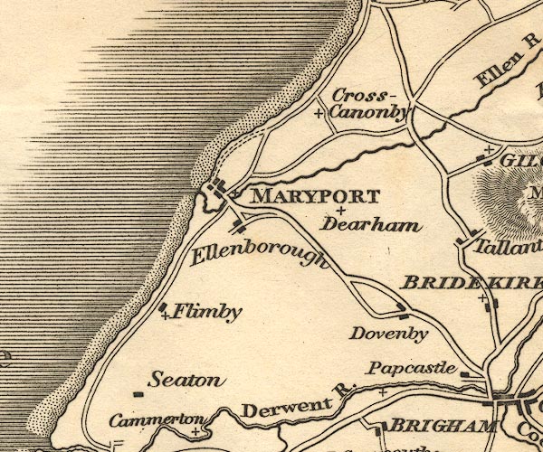
evidence:-   old map:- Otley 1818
placename:-  Dearham
source data:-   Map, uncoloured engraving, The District of the Lakes, Cumberland, Westmorland, and Lancashire, scale about 4 miles to 1 inch, by Jonathan Otley, 1818, engraved by J and G Menzies, Edinburgh, Scotland, published by Jonathan Otley, Keswick, Cumberland, et al, 1833.
image
OT02NY03.jpg
item:-  JandMN : 48.1
Image © see bottom of page

evidence:-   old map:- Ford 1839 map
placename:-  Dearham
source data:-   Map, uncoloured engraving, Map of the Lake District of Cumberland, Westmoreland and Lancashire, scale about 3.5 miles to 1 inch, published by Charles Thurnam, Carlisle, and by R Groombridge, 5 Paternoster Row, London, 3rd edn 1843.
image
FD02NY03.jpg
"Dearham"
item:-  JandMN : 100.1
Image © see bottom of page

evidence:-   old map:- Garnett 1850s-60s H
placename:-  Dearham
source data:-   Map of the English Lakes, in Cumberland, Westmorland and Lancashire, scale about 3.5 miles to 1 inch, published by John Garnett, Windermere, Westmorland, 1850s-60s.
image
GAR2NY03.jpg
"Dearham"
blocks, settlement 
item:-  JandMN : 82.1
Image © see bottom of page

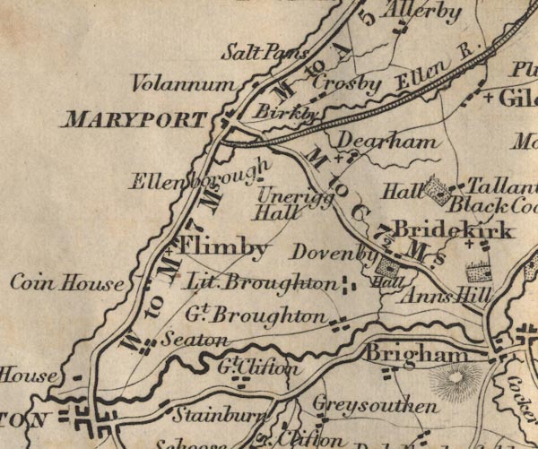
evidence:-   old map:- Post Office 1850s-1900s
placename:-  Dearham
source data:-   Post road maps, General Post Office Circulation Map for England and Wales, for the General Post Office, London, 1850s-1900s.
image  click to enlarge
PF10Cm.jpg
"Dearham"
map date 1892 

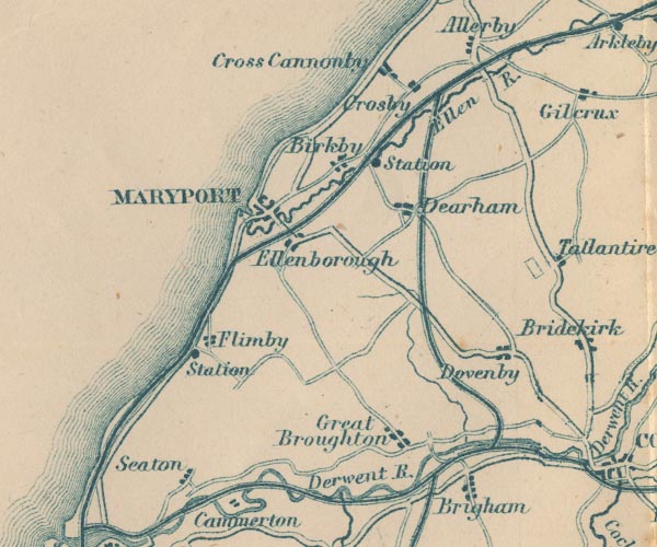
evidence:-   old map:- Post Office 1850s-1900s
placename:-  Dearham
source data:-   Post road maps, General Post Office Circulation Map for England and Wales, for the General Post Office, London, 1850s-1900s.
image  click to enlarge
POF2Cm.jpg
"Dearham"
map date 1890 

evidence:-   old map:- Post Office 1850s-1900s
placename:-  Dearham
source data:-   Post road maps, General Post Office Circulation Map for England and Wales, for the General Post Office, London, 1850s-1900s.
image  click to enlarge
POF8Cm.jpg
"Dearham"
map date 1873 

:-  
images courtesy of the British Postal Museum and Hampshire CC Museums

places:-  
NY06003550 Blooming Heather (Dearham)
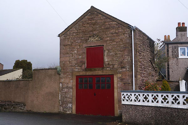
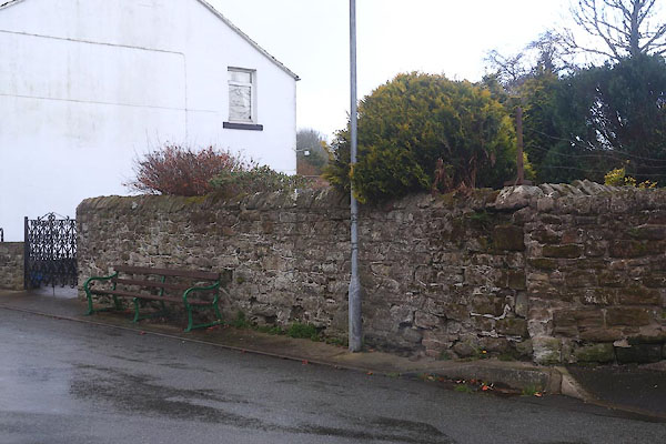
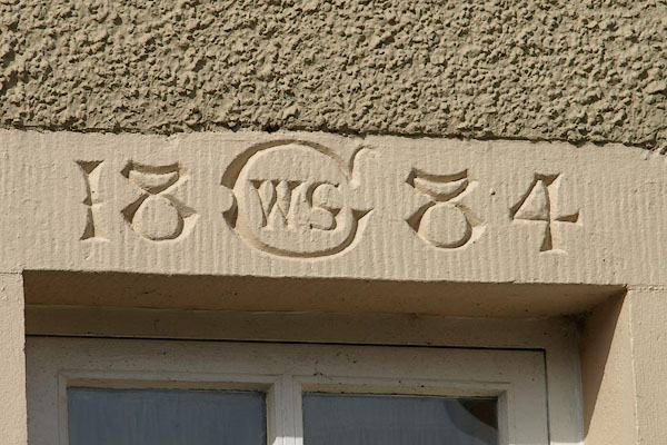
NY07113633 building, Dearham (Dearham)
NY07193601 chapel, Dearham (Dearham)
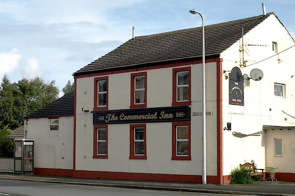
NY06533536 Commercial Inn (Dearham)
NY07413647 Dearham Hall (Dearham)
NY07923569 Dearham Station (Dearham) gone
NY06563544 Gunson Electrical Services (Dearham)
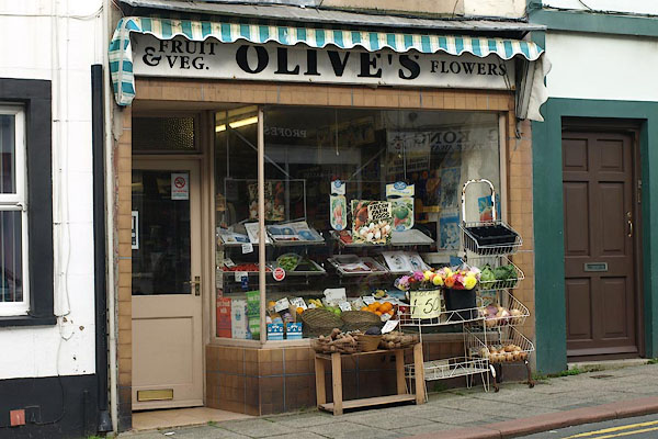
NY03623667 Olive's (Dearham)
NY06763612 Gillbank (Dearham)
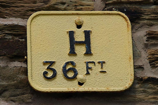
NY06713556 hydrant plate, Dearham (Dearham)
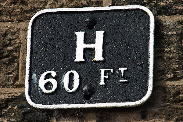
NY07223634 hydrant plate, Dearham (2) (Dearham)
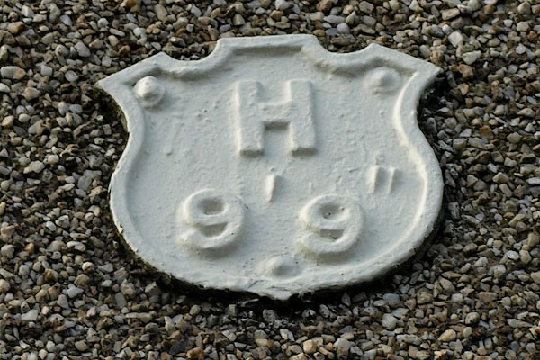
NY06183551 hydrant plate, Dearham (3) (Dearham)
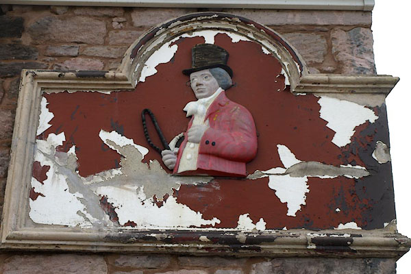
NY07193592 John Peel (Dearham)
NY06993576 Lonsdale Pit (Dearham) gone
NY06593538 Lonsdale Terrace (Dearham)
NY06773629 Lowther Pit (Dearham) gone
NY06853570 Outgang (Dearham)
NY07113627 pinfold, Dearham (Dearham) gone
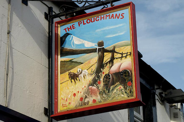
NY06553532 Ploughmans, The (Dearham)
NY06143552 police station, Dearham (Dearham)
NY06653572 pottery, Dearham (Dearham) gone
NY06763559 Providence Place (Dearham)
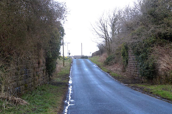
NY07943573 railway bridge, Dearham (Dearham)
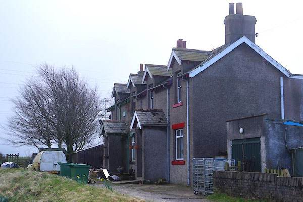
NY07903578 Railway Cottages (Dearham)
NY07883615 Row Brow (Dearham)
NY07673597 Rowbeck Mill (Dearham)
NY07113584 Dearham School (Dearham)
NY07663597 Ship Inn (Dearham)
NY07453587 Townhead (Dearham)
NY07243635 Vicarage, The (Dearham)
NY07973620 Wheatly Cottage (Dearham)
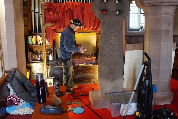
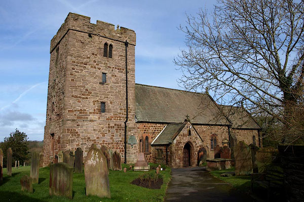
NY07243640 St Mungo's Church (Dearham) L
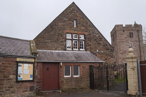
NY07223636 Mission Room, The (Dearham)
button to lakes menu  Lakes Guides menu.