 Old Cumbria Gazetteer
 |
 |
|
| included in:- |
 Buttermere lake Buttermere lake |
|
| Hause Point, Buttermere | ||
| Hause Point | ||
| locality:- | Buttermere Hause | |
| locality:- | Rannerdale Knotts | |
| civil parish:- | Buttermere (formerly Cumberland) | |
| county:- | Cumbria | |
| locality type:- | headland | |
| coordinates:- | NY16151820 | |
| 1Km square:- | NY1618 | |
| 10Km square:- | NY11 | |
|
|
||
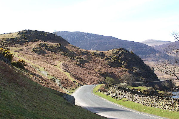 BLY26.jpg Notice the old path, now a bridleway, over the end of the hill. (taken 24.4.2006) |
||
|
|
||
| evidence:- | old map:- OS County Series (Cmd 69 2) placename:- Hause Point |
|
| source data:- | Maps, County Series maps of Great Britain, scales 6 and 25
inches to 1 mile, published by the Ordnance Survey, Southampton,
Hampshire, from about 1863 to 1948. |
|
|
|
||
Lakes Guides menu.