 Old Cumbria Gazetteer
 |
 |
|
| Highgap Yeat, Loweswater | ||
| Highgap Yeat | ||
| locality:- | Loweswater | |
| civil parish:- | Loweswater (formerly Cumberland) | |
| county:- | Cumbria | |
| locality type:- | locality | |
| coordinates:- | NY135212 (area) | |
| 1Km square:- | NY1321 | |
| 10Km square:- | NY12 | |
| references:- | Crosthwaite 1783-94 |
|
|
|
||
| evidence:- | old map:- Crosthwaite 1783-94 (But/Cru/Low) placename:- High Gap Yeat |
|
| source data:- | Map, uncoloured engraving, An Accurate Map of Buttermere,
Crummock and Loweswater Lakes, scale about 3 inches to 1 mile,
by Peter Crosthwaite, Keswick, Cumberland, 1794, version
published 1800.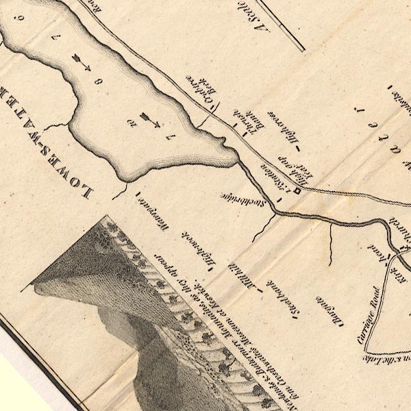 CT8NY12F.jpg "1st. Station / High Gap Yeat" item:- Armitt Library : 1959.191.2 Image © see bottom of page |
|
|
|
||
 Lakes Guides menu.