 Old Cumbria Gazetteer
 |
 |
|
| Mockerkin Tarn, Loweswater | ||
| runs into:- |  Marron, River Marron, River |
|
|
|
||
| Mockerkin Tarn | ||
| locality:- | Mockerkin | |
| civil parish:- | Loweswater (formerly Cumberland) | |
| county:- | Cumbria | |
| locality type:- | tarn | |
| coordinates:- | NY08342317 (etc) | |
| 1Km square:- | NY0823 | |
| 10Km square:- | NY02 | |
| altitude:- | 377 feet | |
| altitude:- | 115m | |
|
|
||
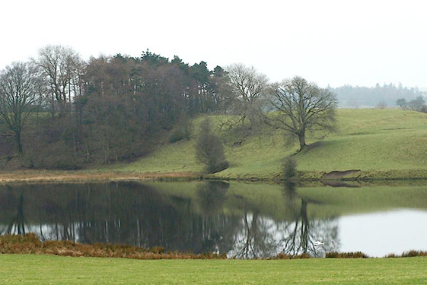 BQD02.jpg (taken 17.2.2009) 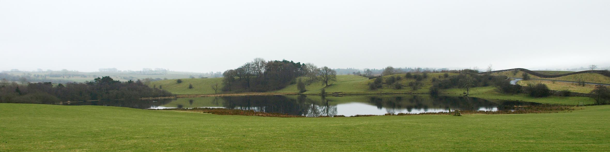 Click to enlarge BQD01.jpg (taken 17.2.2009) |
||
|
|
||
| evidence:- | old map:- OS County Series (Cmd 62 6) placename:- Mockerkin Tarn |
|
| source data:- | Maps, County Series maps of Great Britain, scales 6 and 25
inches to 1 mile, published by the Ordnance Survey, Southampton,
Hampshire, from about 1863 to 1948. |
|
|
|
||
| evidence:- | old map:- Ogilby 1675 (plate 96) |
|
| source data:- | Road strip map, hand coloured engraving, the Road from Kendal to
Cockermouth, and the Road from Egremond to Carlisle, scale about
1 inch to 1 mile, by John Ogilby, London, 1675.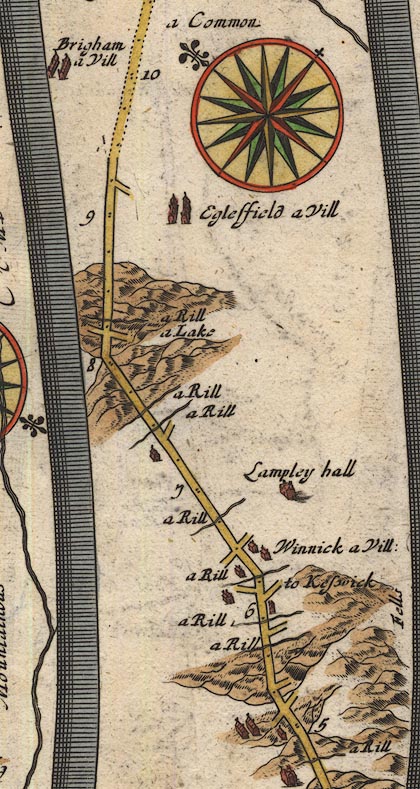 OG96Bm05.jpg In mile 8, Cumberland. "a Lake" end of a lake between hills on the right of the road. item:- JandMN : 22 Image © see bottom of page |
|
|
|
||
| evidence:- | probably old map:- Bowen 1720 (plate 261) |
|
| source data:- | Road strip map, uncoloured engraving, pl.261, the end of the
road from Kendal to Cockermouth and the road from Egremont to
Carlisle, scale about 2 miles to 1 inch, published by Emanuel
Bowen, St Katherines, London, 1720.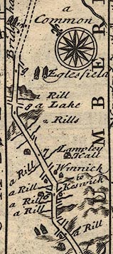 B261m05.jpg "a Lake" On the right of the road at mile 8 from Egremont. item:- Dove Cottage : Lowther.36 Image © see bottom of page |
|
|
|
||
| evidence:- | old map:- Donald 1774 (Cmd) |
|
| source data:- | Map, hand coloured engraving, 3x2 sheets, The County of Cumberland, scale about 1
inch to 1 mile, by Thomas Donald, engraved and published by Joseph Hodskinson, 29
Arundel Street, Strand, London, 1774.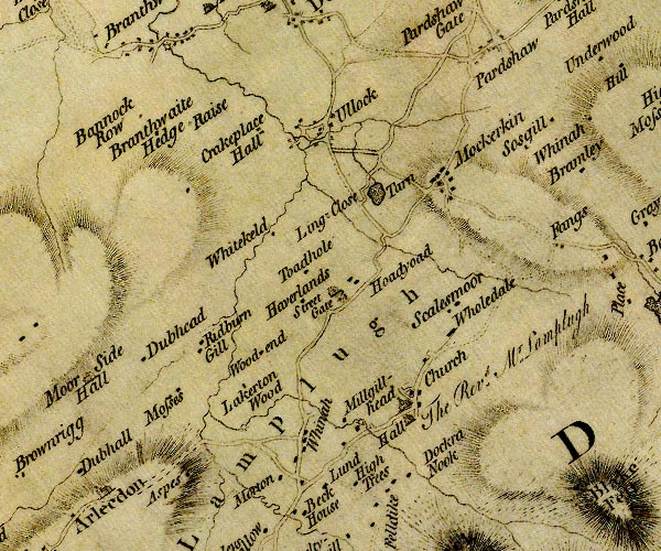 D4NY02SE.jpg "Tarn" lake item:- Carlisle Library : Map 2 Image © Carlisle Library |
|
|
|
||
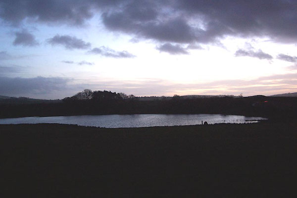 BNC98.jpg Winter dusk. (taken 2.1.2007) |
||
|
|
||
| notes:- |
"Mockerkin Tarn / Winter water level 115m / above Newlyn datum 1964" |
|
|
|
||
| hearsay:- |
They say there is a sunken village in the tarn, its church bell tolling below. Nearby
is the grave of celtic King Morken. |
|
|
|
||
Lakes Guides menu.