Old Cumbria Gazetteer
 |
 |
|
||
| Swindale Beck (2) | ||||
| runs into:- |  Lowther, River Lowther, River |
|||
|
|
||||
| Swindale Beck | ||||
| civil parish:- | Shap Rural (formerly Westmorland) | |||
| county:- | Cumbria | |||
| locality type:- | river | |||
| 1Km square:- | NY5315 (etc) | |||
| 10Km square:- | NY51 | |||
|
|
||||
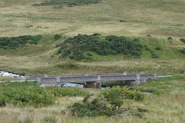
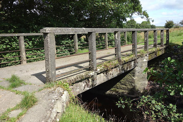
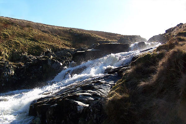
 CBK46.jpg (taken 19.8.2014) 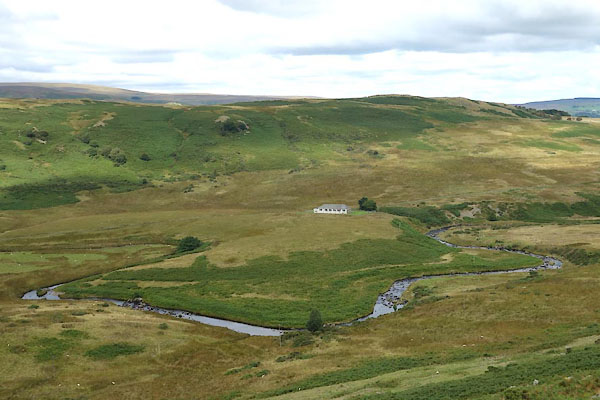 CBK47.jpg (taken 19.8.2014) |
||||
|
|
||||
| evidence:- | old map:- OS County Series (Wmd 13 16) placename:- Swindale Beck |
|||
| source data:- | Maps, County Series maps of Great Britain, scales 6 and 25
inches to 1 mile, published by the Ordnance Survey, Southampton,
Hampshire, from about 1863 to 1948. OS County Series (Wmd 14 9) |
|||
|
|
||||
| evidence:- | old map:- OS County Series (Wmd 20 4) placename:- Swindale Beck |
|||
| source data:- | Maps, County Series maps of Great Britain, scales 6 and 25
inches to 1 mile, published by the Ordnance Survey, Southampton,
Hampshire, from about 1863 to 1948. OS County Series (Wmd 20 7) OS County Series (Wmd 20 8) |
|||
|
|
||||
| evidence:- | old map:- Jefferys 1770 (Wmd) |
|||
| source data:- | Map, 4 sheets, The County of Westmoreland, scale 1 inch to 1
mile, surveyed 1768, and engraved and published by Thomas
Jefferys, London, 1770.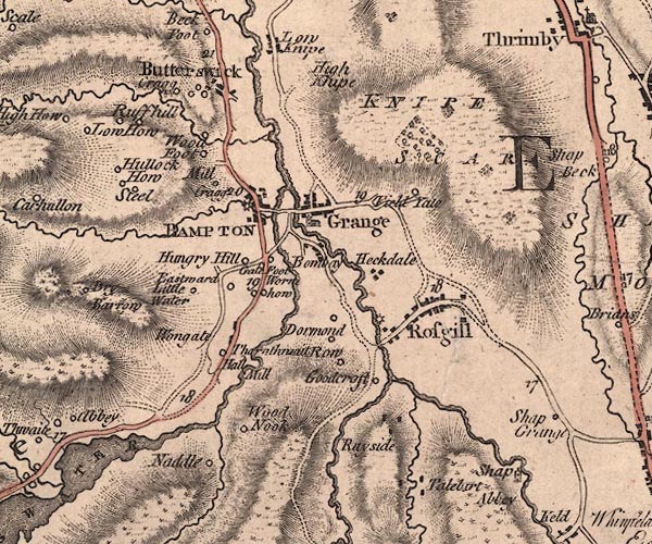 J5NY51NW.jpg single or double wiggly line; river item:- National Library of Scotland : EME.s.47 Image © National Library of Scotland |
|||
|
|
||||
| evidence:- | old map:- West 1784 map |
|||
| source data:- | Map, hand coloured engraving, A Map of the Lakes in Cumberland,
Westmorland and Lancashire, scale about 3.5 miles to 1 inch,
engraved by Paas, 53 Holborn, London, about 1784.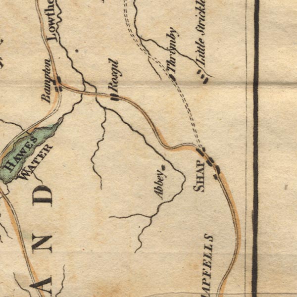 Ws02NY51.jpg item:- Armitt Library : A1221.1 Image © see bottom of page |
|||
|
|
||||
| evidence:- | old map:- Cary 1789 (edn 1805) |
|||
| source data:- | Map, uncoloured engraving, Westmoreland, scale about 2.5 miles
to 1 inch, by John Cary, London, 1789; edition 1805.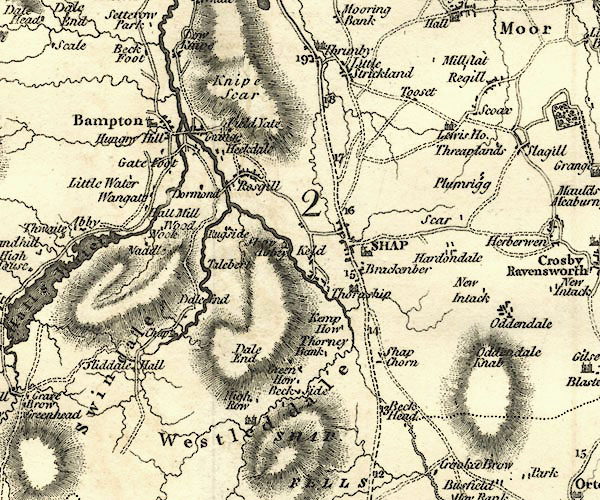 CY24NY51.jpg river running into the Lowther item:- JandMN : 129 Image © see bottom of page |
|||
|
|
||||
| evidence:- | old map:- Cooper 1808 |
|||
| source data:- | Map, hand coloured engraving, Westmoreland ie Westmorland, scale
about 9 miles to 1 inch, by H Cooper, 1808, published by R
Phillips, Bridge Street, Blackfriars, London, 1808. click to enlarge click to enlargeCOP4.jpg tapering wiggly line; river item:- Dove Cottage : 2007.38.53 Image © see bottom of page |
|||
|
|
||||
| evidence:- | old map:- Garnett 1850s-60s H |
|||
| source data:- | Map of the English Lakes, in Cumberland, Westmorland and
Lancashire, scale about 3.5 miles to 1 inch, published by John
Garnett, Windermere, Westmorland, 1850s-60s.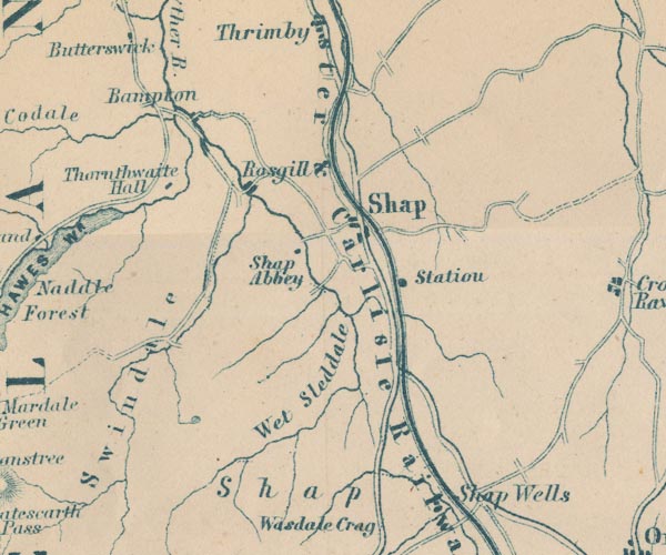 GAR2NY51.jpg wiggly line, river item:- JandMN : 82.1 Image © see bottom of page |
|||
|
|
||||
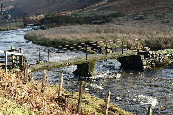
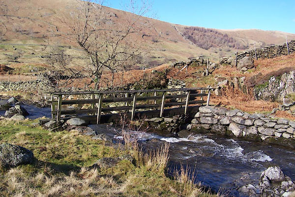
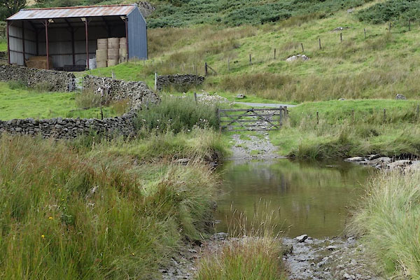
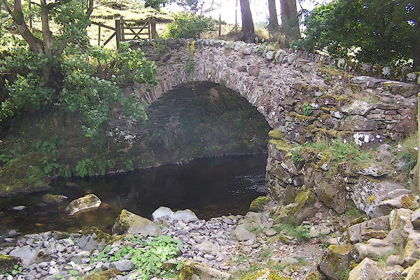
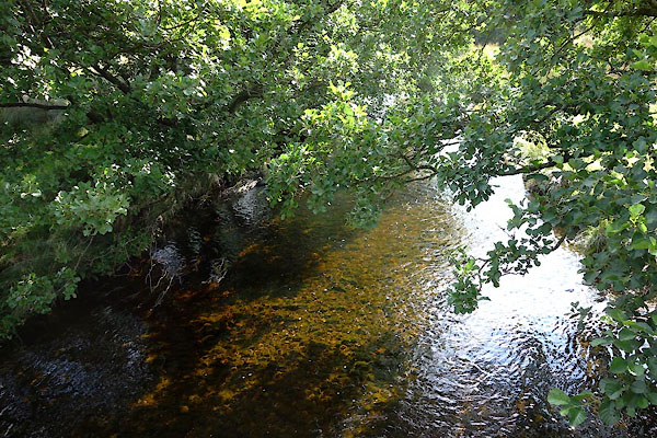
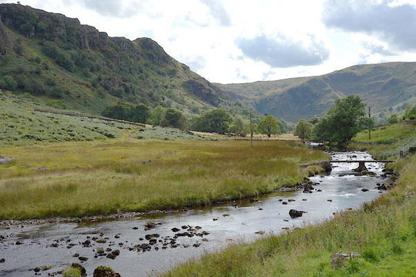 CBK93.jpg (taken 19.8.2014) 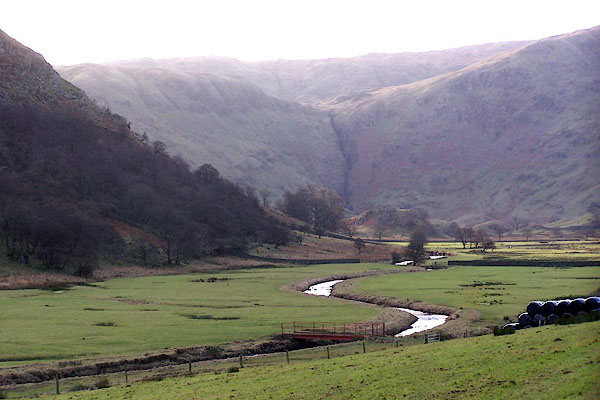 BLL62.jpg From near the top of Swindale:- (taken 14.12.2005) 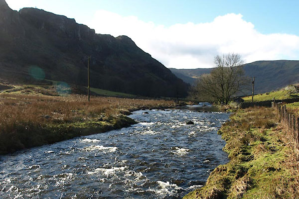 BUA36.jpg From the footbridge near Truss Gap, (taken 10.2.2011) |
||||
|
|
||||
| places:- |
|
|||
|
||||
|
||||
|
||||
|
||||
|
||||
|
||||
|
||||
Lakes Guides menu.