Old Cumbria Gazetteer
 |
 |
|
||
| Carwinley Burn | ||||
| runs into:- |  Esk, River Esk, River |
|||
|
|
||||
| civil parish:- | Arthuret (formerly Cumberland) | |||
| civil parish:- | Nicholforest (formerly Cumberland) | |||
| civil parish:- | Kirkandrews (formerly Cumberland) | |||
| county:- | Cumbria | |||
| locality type:- | river | |||
| locality type:- | boundary | |||
| locality type:- | parish boundary | |||
| 1Km square:- | NY4173 (etc) | |||
| 10Km square:- | NY47 | |||
|
|
||||
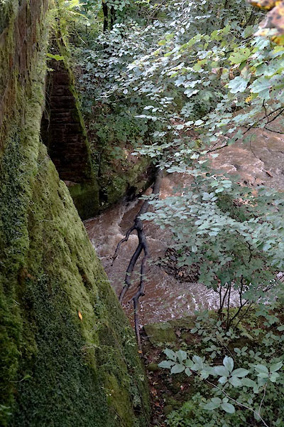
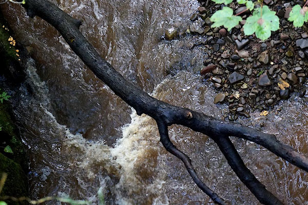
 CBN39.jpg At Carwinley High Bridge, (taken 29.8.2014) |
||||
|
|
||||
| evidence:- | old map:- OS County Series (Cmd 6 8) placename:- Carwinley Burn |
|||
| source data:- | Maps, County Series maps of Great Britain, scales 6 and 25
inches to 1 mile, published by the Ordnance Survey, Southampton,
Hampshire, from about 1863 to 1948. OS County Series (Cmd 6 12) |
|||
|
|
||||
| evidence:- | perhaps old map:- Bowen and Kitchin 1760 |
|||
| source data:- | Map, hand coloured engraving, A New Map of the Counties of
Cumberland and Westmoreland Divided into their Respective Wards,
scale about 4 miles to 1 inch, by Emanuel Bowen and Thomas
Kitchin et al, published by T Bowles, Robert Sayer, and John
Bowles, London, 1760.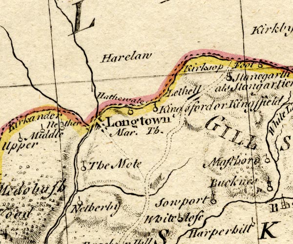 BO18NY47.jpg wiggly line, into the Esk item:- Armitt Library : 2008.14.10 Image © see bottom of page |
|||
|
|
||||
| evidence:- | old map:- Donald 1774 (Cmd) placename:- Carwenlaw Burn |
|||
| source data:- | Map, hand coloured engraving, 3x2 sheets, The County of Cumberland, scale about 1
inch to 1 mile, by Thomas Donald, engraved and published by Joseph Hodskinson, 29
Arundel Street, Strand, London, 1774.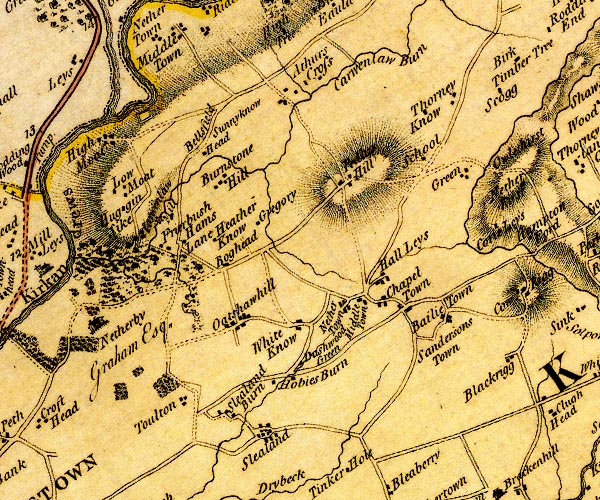 D4NY47SW.jpg "Carwenlaw Burn" single or double wiggly line; a river item:- Carlisle Library : Map 2 Image © Carlisle Library |
|||
|
|
||||
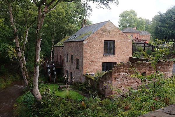
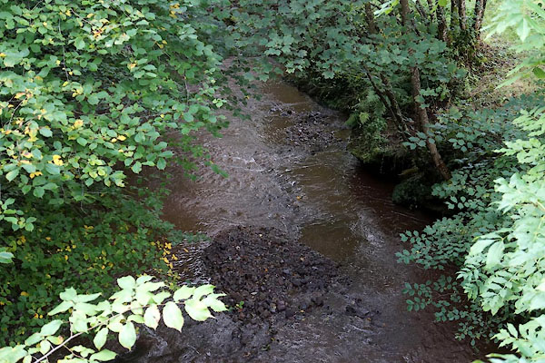
 CBN40.jpg At Carwinley High Bridge, (taken 29.8.2014) 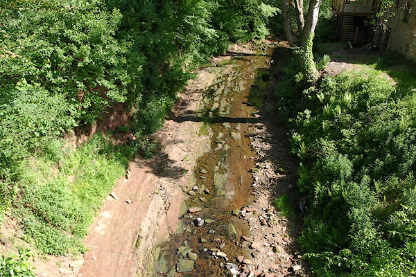 BSV71.jpg At Carwinley Low Bridge, (taken 4.6.2010) |
||||
|
|
||||
| places:- |
|
|||
|
||||
|
||||
|
||||
Lakes Guides menu.