 Old Cumbria Gazetteer
 |
 |
|
| included in:- |
 track, Tills Hole to Garnett Bridge track, Tills Hole to Garnett Bridge |
|
| track, Tills Hole to Wads Howe: walk 1, 2.9.2012 | ||
| Tills Hole to Wads Howe | ||
| civil parish:- | Longsleddale (formerly Westmorland) | |
| county:- | Cumbria | |
| locality type:- | track route | |
| coordinates:- | NY49000426 (etc) | |
| 1Km square:- | NY49004 | |
| 10Km square:- | NY40 | |
|
|
||
| MN photo:- |
Walk, from the stile on the road near Tills Hole to Wads Howe, 2 September 2012. |
|
| Into the sun ... |
||
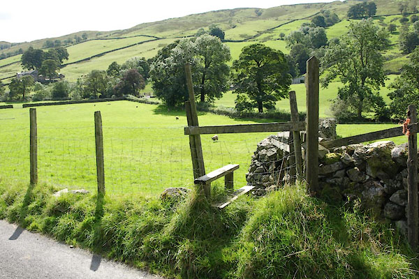 BXG16.jpg The stile at the corner of Croft, (taken 2.9.2012) 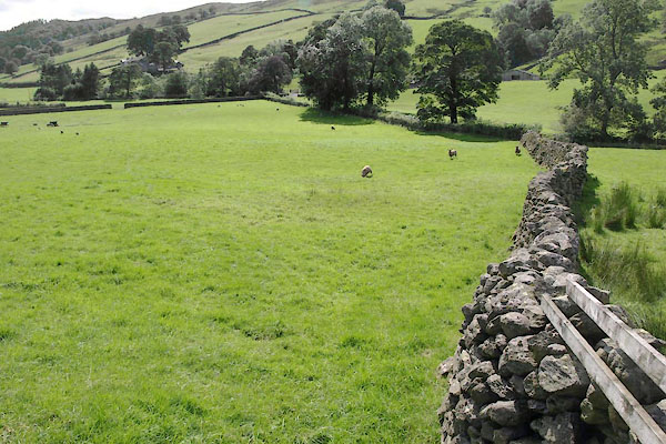 BXG17.jpg Croft. (taken 2.9.2012) 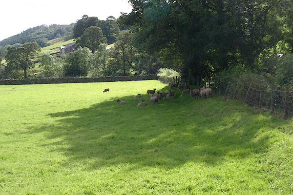 BXG18.jpg Sheep, dipped yesterday. (taken 2.9.2012) 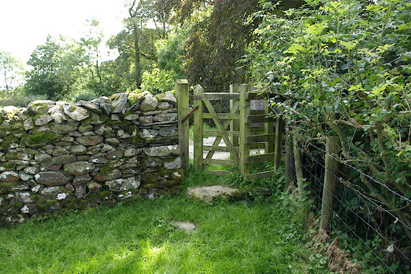 BXG19.jpg Kissing gate. (taken 2.9.2012) 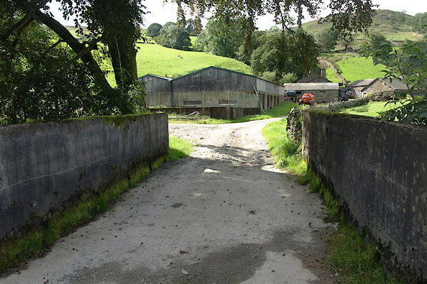 BXG20.jpg Bridge at Tills Hole. (taken 2.9.2012) 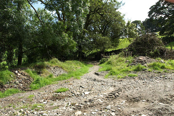 BXG21.jpg At the bottom of Tills Hole yard. (taken 2.9.2012) 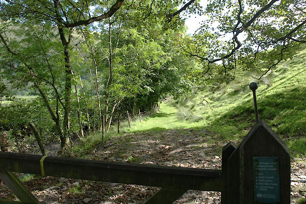 BXG22.jpg Gate, (taken 2.9.2012) 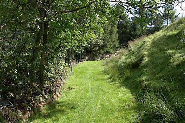 BXG23.jpg In Thomshow Hill. (taken 2.9.2012) 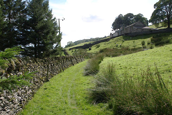 BXG24.jpg Approaching Thoms Howe. (taken 2.9.2012) 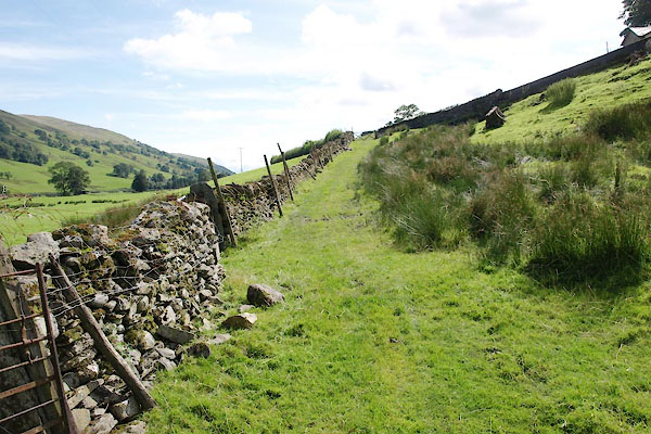 BXG25.jpg (taken 2.9.2012) 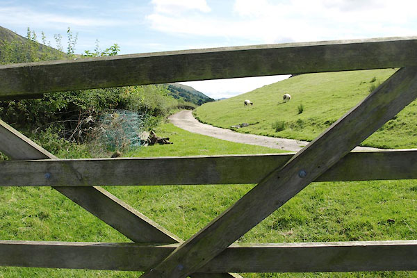 BXG26.jpg (taken 2.9.2012) 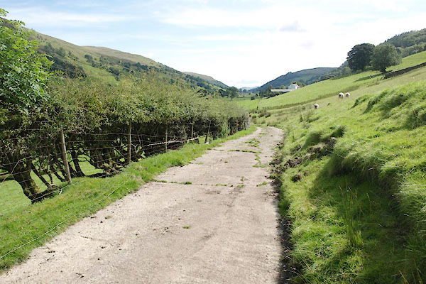 BXG27.jpg Along the side of Corn Hill. (taken 2.9.2012) 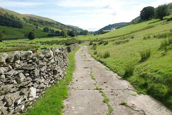 BXG28.jpg And Holly Dale. (taken 2.9.2012) 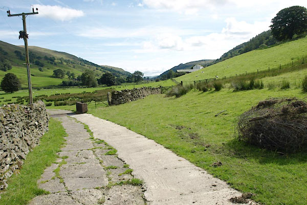 BXG29.jpg The entrance lane to Toms Howe comes in on the left, from High Barn. (taken 2.9.2012) 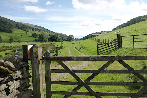 BXG30.jpg Gate to Underhouse, with High Rigg on the right. (taken 2.9.2012) 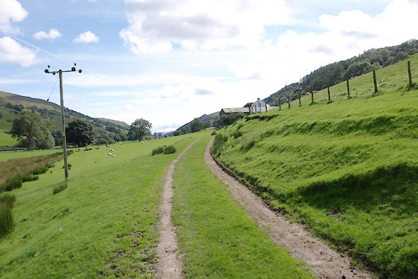 BXG31.jpg In Underhouse. (taken 2.9.2012) 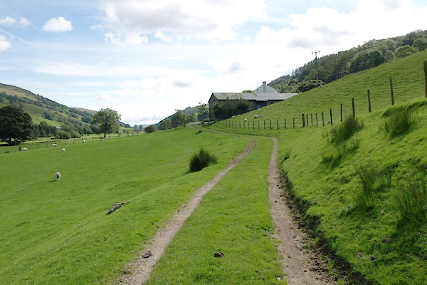 BXG32.jpg Approaching Hill House. (taken 2.9.2012) 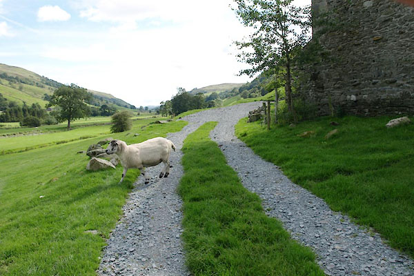 BXG33.jpg By the barn at Hill House. (taken 2.9.2012) 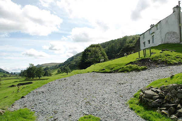 BXG34.jpg Hill House. (taken 2.9.2012) 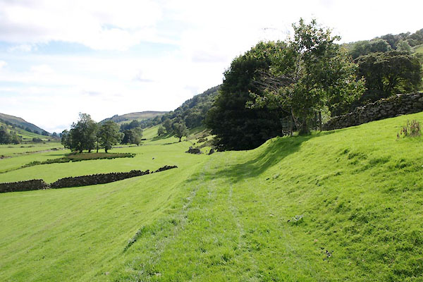 BXG35.jpg (taken 2.9.2012) 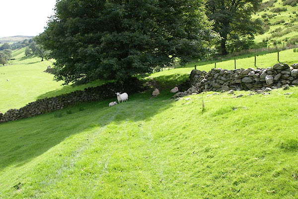 BXG36.jpg All this pasture is Underhouse. (taken 2.9.2012) 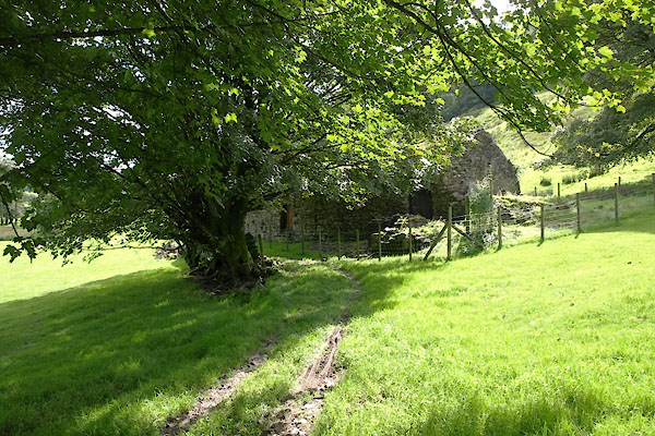 BXG37.jpg (taken 2.9.2012) 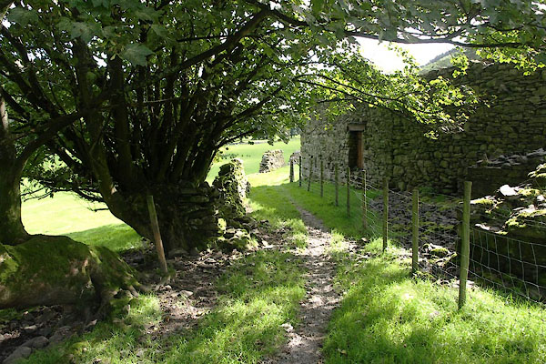 BXG38.jpg Underhill, ruins. (taken 2.9.2012) 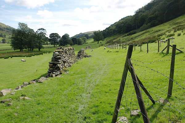 BXG39.jpg Between Hole House pasture on left, and Intack on the right. (taken 2.9.2012) 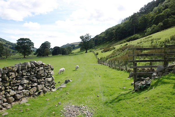 BXG40.jpg (taken 2.9.2012) 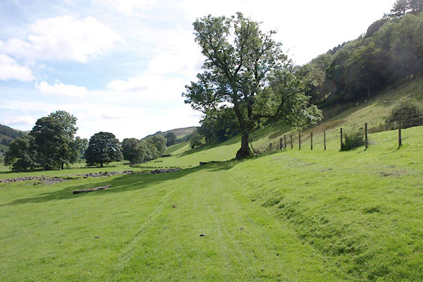 BXG41.jpg INto High Walls. (taken 2.9.2012) 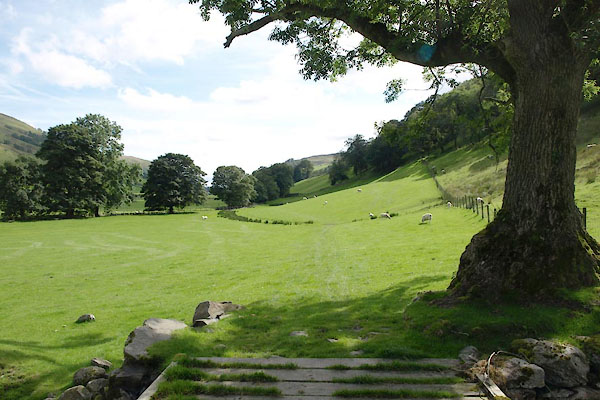 BXG42.jpg Across one of many small becks off the fell above. (taken 2.9.2012) 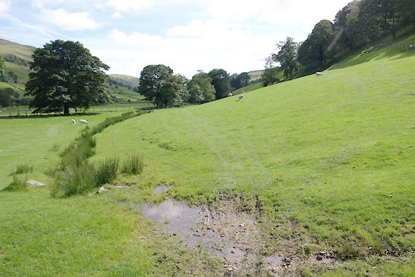 BXG43.jpg (taken 2.9.2012) 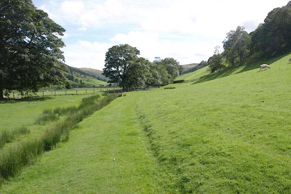 BXG44.jpg (taken 2.9.2012) 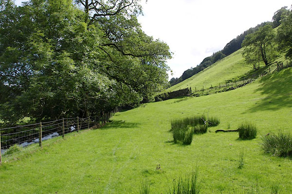 BXG45.jpg (taken 2.9.2012) 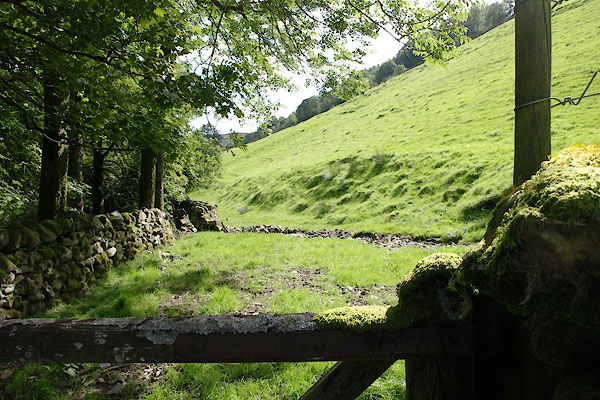 BXG46.jpg Another gate, probably the Wellfoot boundary. (taken 2.9.2012) 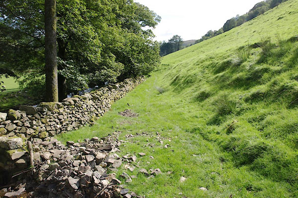 BXG47.jpg (taken 2.9.2012) 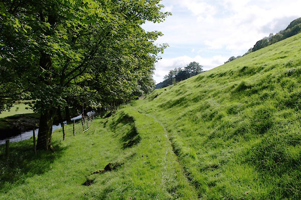 BXG48.jpg (taken 2.9.2012) 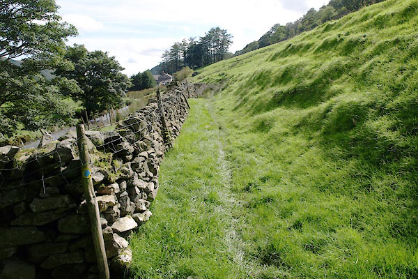 BXG49.jpg (taken 2.9.2012) 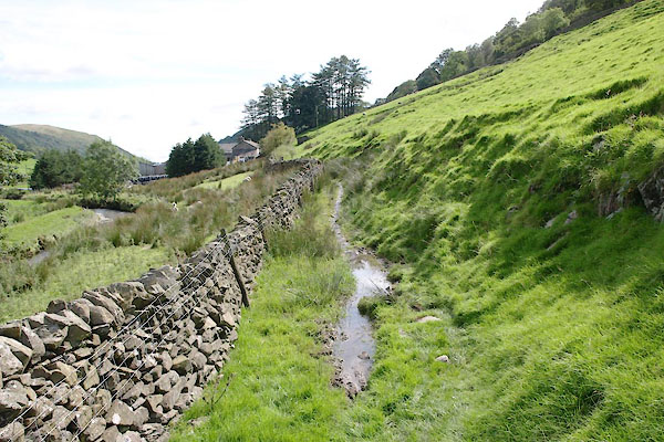 BXG50.jpg (taken 2.9.2012) 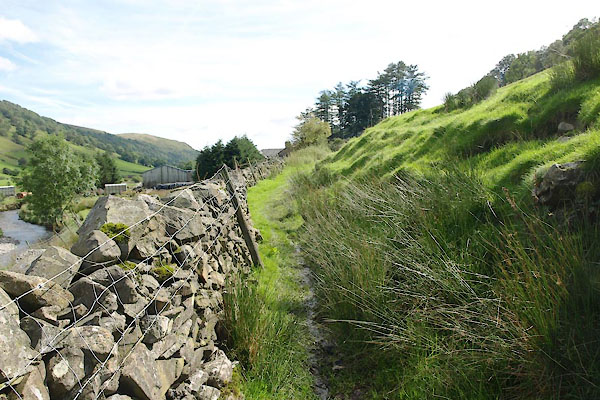 BXG51.jpg (taken 2.9.2012) 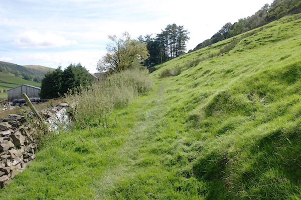 BXG52.jpg (taken 2.9.2012) 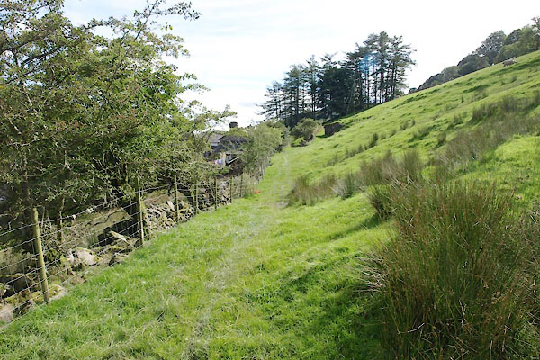 BXG53.jpg (taken 2.9.2012) 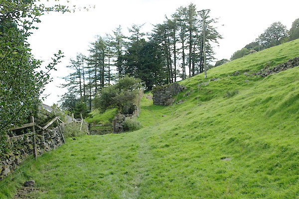 BXG54.jpg Well Foot hidden down on the left. (taken 2.9.2012) 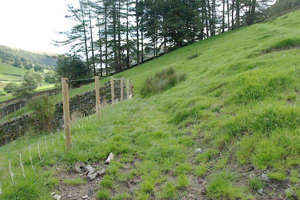 BXG55.jpg (taken 2.9.2012) 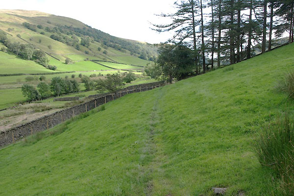 BXG56.jpg (taken 2.9.2012) 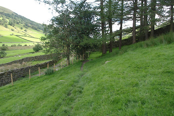 BXG57.jpg (taken 2.9.2012) 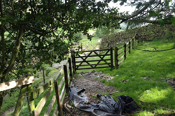 BXG58.jpg Gates where the [private] entry to Wellfoot meets the path. (taken 2.9.2012) 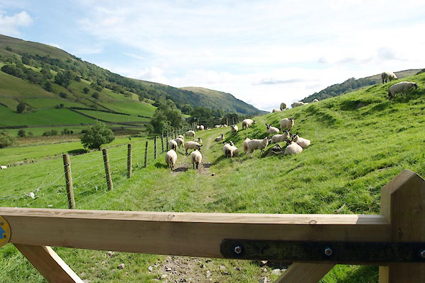 BXG59.jpg Lambs fattening nicely. (taken 2.9.2012) 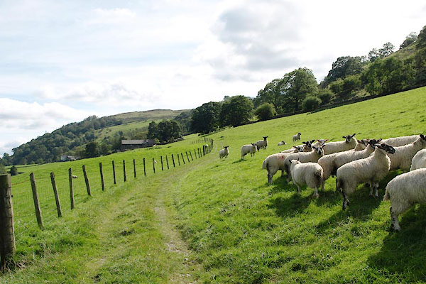 BXG60.jpg (taken 2.9.2012) 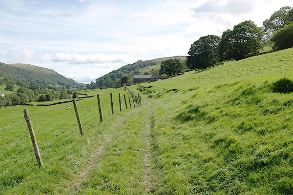 BXG61.jpg (taken 2.9.2012) 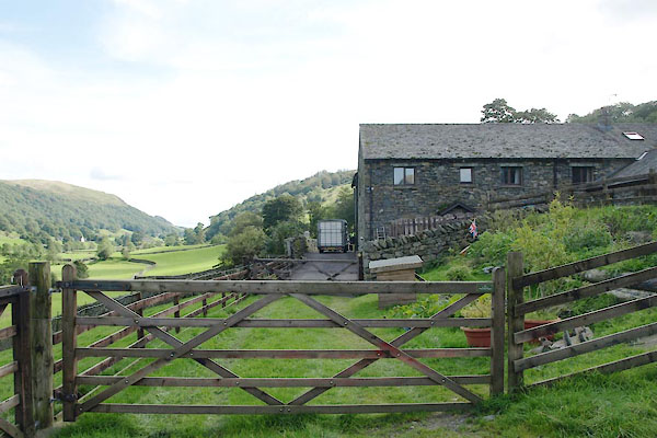 BXG62.jpg Hollin Root; a new vegetable patch on the right. (taken 2.9.2012) 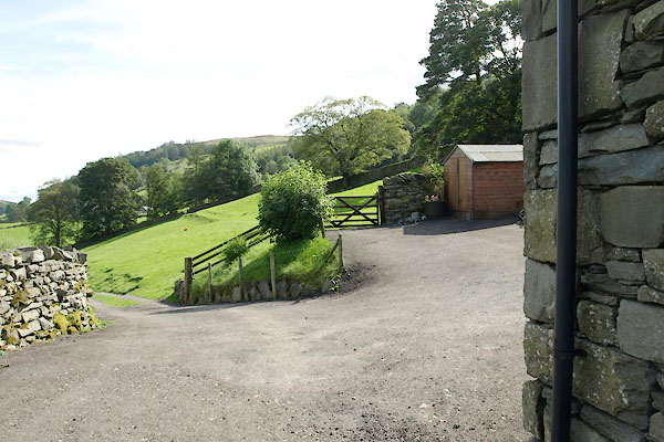 BXG63.jpg The path uses the upper gate; the lower gate is the entrance lane for Hollin Root. (taken 2.9.2012) 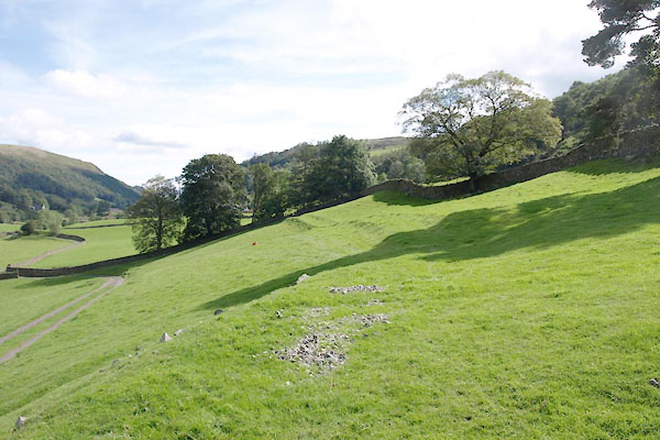 BXG64.jpg (taken 2.9.2012) 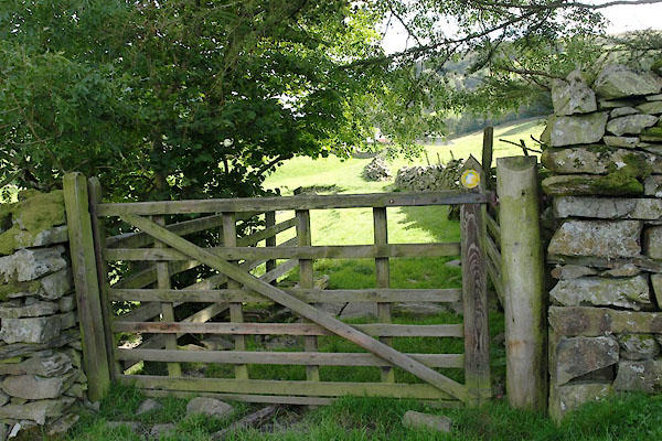 BXG65.jpg Gate (Middale boundary?) (taken 2.9.2012) 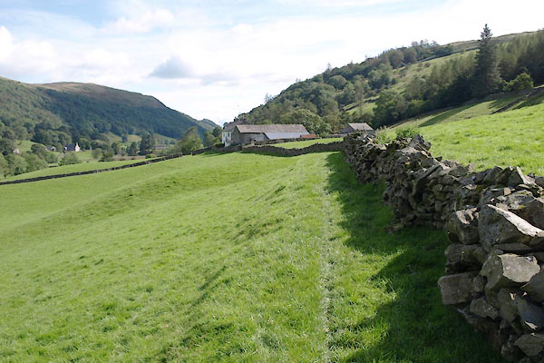 BXG66.jpg Approaching Wads Howe. (taken 2.9.2012) 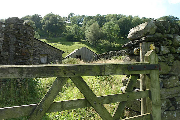 BXG67.jpg The paths fiddles round a yard by Wads Howe. (taken 2.9.2012) 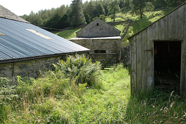 BXG68.jpg (taken 2.9.2012) 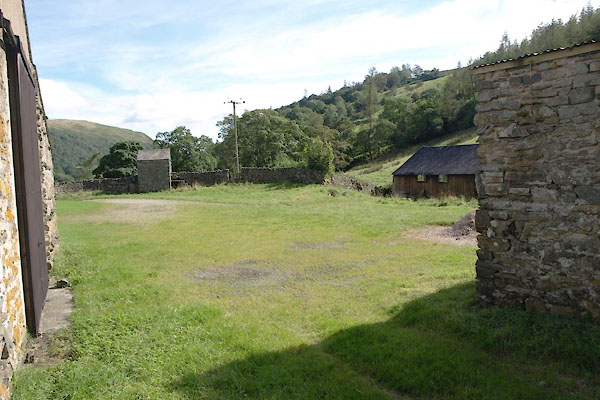 BXG69.jpg The yard at the back of Wads Howe. (taken 2.9.2012) |
||
|
|
||
Lakes Guides menu.