button to main menu   Otley 1818 SD26
date  bar
Note: some of these makers maps may not show this square
Note: click on map edges for adjacent squares

Otley 1818
(Area of roughly corresponding to Otley 1818 SD26 plus overlaps, North at the top; the original map is printed with North at the top)

item:-  JandMN (48_1)
image:-  © see bottom of page
gazetteer links

places may or may not be labelled on the map
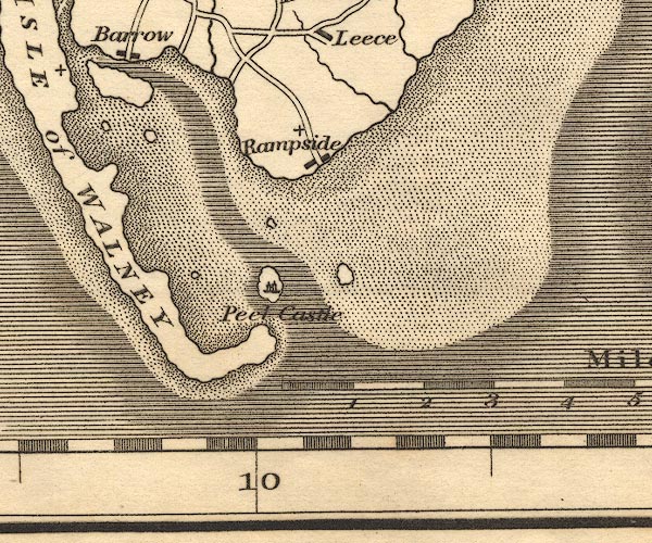
button -- Piel Castle
button -- Piel Island
button -- Rampside
button -- Walney Island -- "ISLE of WALNEY"

civil parishes

The area roughly includes parts of parishes:-

    Aldingham
    Barrow-in-Furness

button to Lakes menu Lakes Guides menu.
goto SD17 goto SD27 goto SD37 goto SD16 goto SD36 back to index map