 Otley 1818 SD46


|

|
|
|
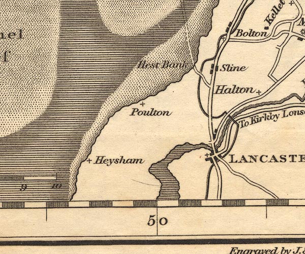
gazetteer links places may or may not be labelled on the map |
||

|
-- Bolton-le-Sands |
|
|
|
-- Halton |
|
|
|
-- Hest Bank |
|
|
|
-- Heysham |
|
|
|
-- Lancaster Canal -- "The Lancaster Canal" |
|
|
|
-- Lancaster -- "LANCASTER" |
|
|
|
-- Lune Aqueduct |
|
|
|
-- Poulton |
|
|
|
-- Skerton Bridge |
|
|
|
-- Slyne |
|
|
civil parishes The area roughly includes parts of parishes:- Lower Allithwaite Lower Holker |
||
|
|
||
|
|
Lakes Guides menu. | |