 Otley 1818 SD57


|

|
|
|
gazetteer links places may or may not be labelled on the map |
||

|
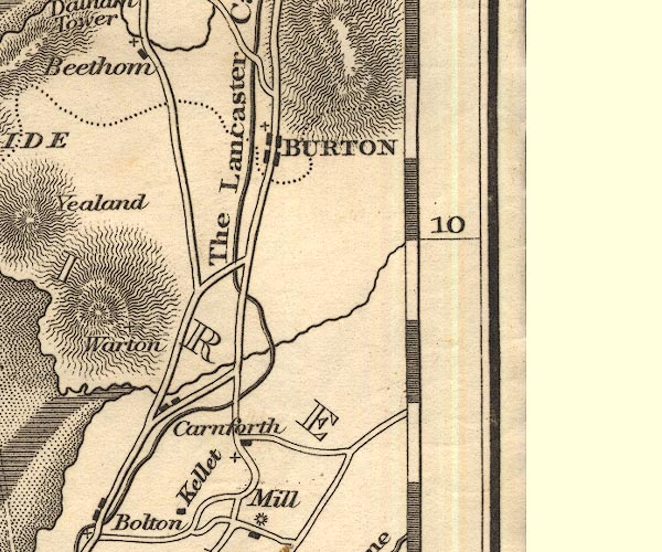
-- Burton-in-Kendal -- "BURTON" |
|
|
|
-- Carnforth |
|
|
|
-- Keer, River |
|
|
|
-- Lancaster Canal -- "The Lancaster Canal" |
|
|
civil parishes The area roughly includes parts of parishes:- Hutton Roof Lupton Beetham Holme Burton-in-Kendal Kirkby Lonsdale |
||
|
|
||
|
|
Lakes Guides menu. | |