 Old Cumbria Gazetteer
 |
 |
|
| barn, Longsleddale (5) | ||
| Out Barn | ||
| Chapel House | ||
| site name:- | Middale | |
| civil parish:- | Longsleddale (formerly Westmorland) | |
| county:- | Cumbria | |
| locality type:- | barn | |
| locality type:- | bank barn | |
| locality type:- | buildings | |
| coordinates:- | NY49980303 | |
| 1Km square:- | NY4903 | |
| 10Km square:- | NY40 | |
| SummaryText:- | Site of Chapel House | |
|
|
||
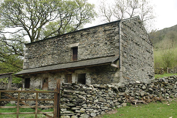 BSQ63.jpg (taken 1.5.2010) 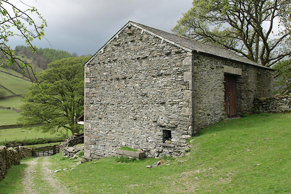 BSQ64.jpg (taken 1.5.2010) 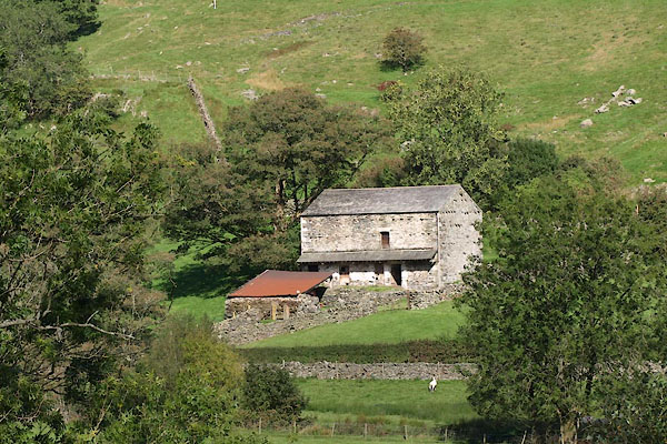 BTO66.jpg (taken 24.9.2010) |
||
|
|
||
| evidence:- | old map:- OS County Series (Wmd 27 11) |
|
| source data:- | Maps, County Series maps of Great Britain, scales 6 and 25
inches to 1 mile, published by the Ordnance Survey, Southampton,
Hampshire, from about 1863 to 1948. buildings, no name |
|
|
|
||
| see:- |  Chapel House, Longsleddale Chapel House, Longsleddale |
|
|
|
||
Lakes Guides menu.