 Old Cumbria Gazetteer
 |
 |
|
| Townend Farm, Hackthorpe | ||
| Townend Farm | ||
| Town End Farm | ||
| locality:- | Hackthorpe | |
| civil parish:- | Lowther (formerly Westmorland) | |
| county:- | Cumbria | |
| locality type:- | buildings | |
| coordinates:- | NY54272328 | |
| 1Km square:- | NY5423 | |
| 10Km square:- | NY52 | |
| references:- | Listed Buildings 2010 |
|
|
|
||
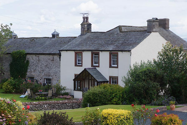 CBA01.jpg (taken 6.7.2014) 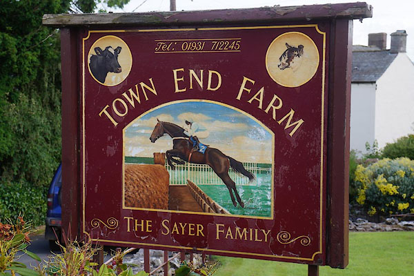 CBA02.jpg Sign, race horse. (taken 6.7.2014) |
||
|
|
||
| evidence:- | old map:- OS County Series (Wmd 8 9) placename:- Townend Farm |
|
| source data:- | Maps, County Series maps of Great Britain, scales 6 and 25
inches to 1 mile, published by the Ordnance Survey, Southampton,
Hampshire, from about 1863 to 1948. |
|
|
|
||
| evidence:- | database:- Listed Buildings 2010 placename:- Townend Farm |
|
| source data:- | courtesy of English Heritage "TOWNEND FARMHOUSE AND BARN ADJOINING / / / LOWTHER / EDEN / CUMBRIA / II / 74339 / NY5427323288" |
|
|
|
||
 Lakes Guides menu.